Muine Bheag, commonly called Bagenalstown, has a planned street grid, distinctive railway architecture and a grand founding story that deserves careful examination.
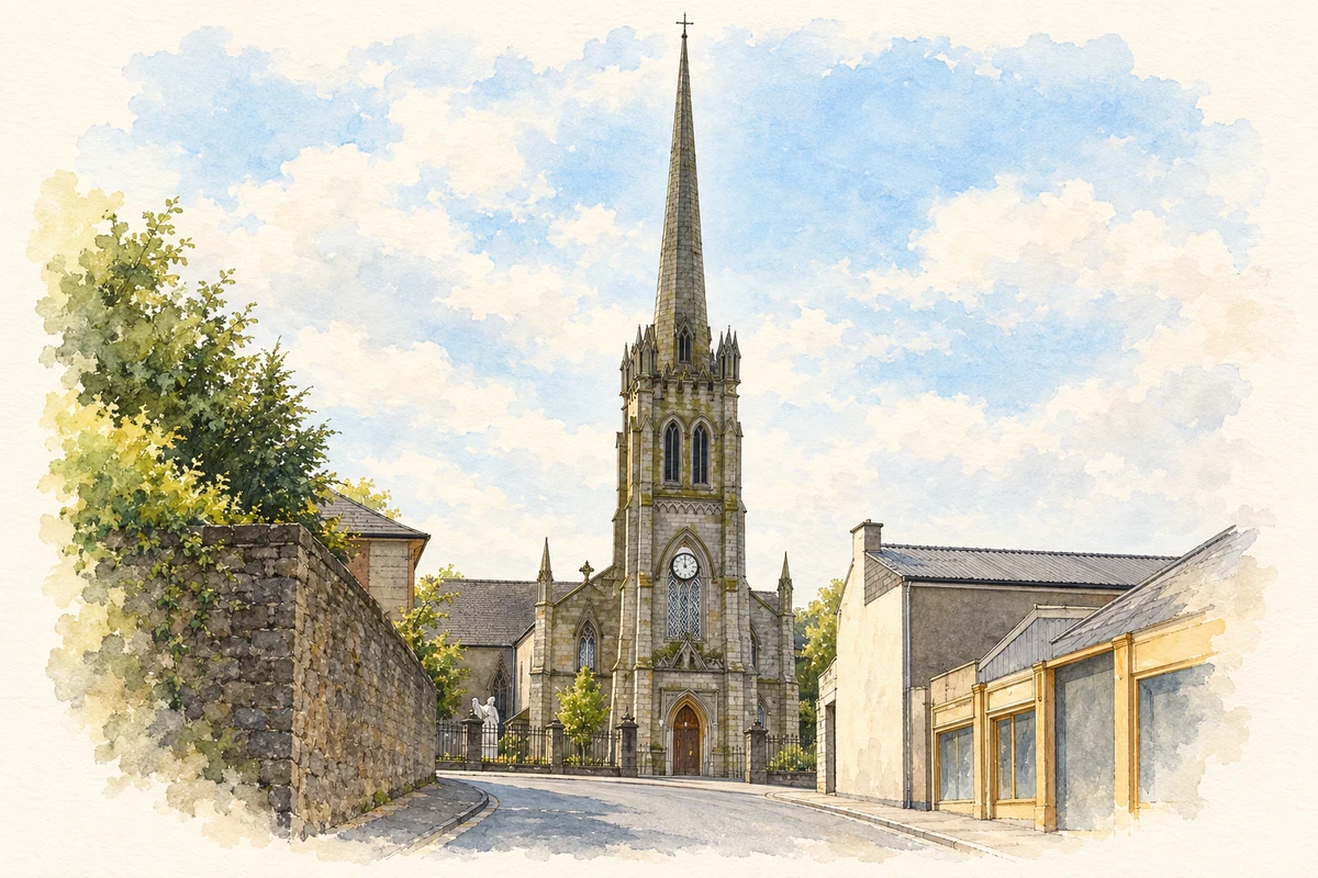
Illustration, St Andrew's Church, Bagenalstown, County Carlow
⊕Recorded locationMuine Bheag (Bagenalstown)52.69871° N · 6.96116° WInteractive map supplied by OpenStreetMap.
These Irish name elements are associated with this record in the Logainm glossary.
An element’s translation is a clue, rather than a complete explanation of the name. Its form and meaning depend on local history and the full Irish name.
Recorded forms
Muine Bheag· Irish · main form · validated name
Muine Bheag (Bagenalstown)· English · main form
Bagenalstown· English · main form · local name
Place & story
Folklore & tradition
Walter Bagenal’s supposed Versailles
The story that Walter Bagenal intended an Irish Versailles can be traced to a travel account published in 1746. Architectural historian Richard J. Butler identifies that account as the source of the enduring claim, while questioning how literally its grand ambitions should be taken. A Bagenal descendant was already dismissive of the comparison in 1925. The planned street grid is real; the image of a vast French-style city is an interpretation attached to it, rather than a surviving blueprint for an unrealised palace town.[2]
The courthouse belongs to a later generation
The courthouse overlooking the Barrow is a nineteenth-century building, not a surviving piece of Walter Bagenal's original scheme. Butler's examination of prison inspectors' reports dates it to 1826: a courthouse and gaol were still proposed in 1824, but completed by the next inspection. Its Ionic portico gives the river-facing elevation its distinctive character. The attached cells failed to meet regulations and were no longer used by 1830. Daniel Robertson remains a likely architect, although surviving evidence does not establish his authorship conclusively.[2]
A railway station with the form of a villa
The railway station adds another carefully composed public building to the town. The National Inventory of Architectural Heritage describes a limestone-and-granite design recalling an Italianate villa, with a central block, linking arcades and projecting end sections. It attributes the station to William Deane Butler, rather than treating that attribution as certain. The platform shelters echo the arrangement of the main building. Set alongside the older river trade, this substantial railway architecture helps explain the town's nineteenth-century importance as a place where transport and commerce met.[3]
Muinebeag (Bagenalstown) — Census 2016 settlement footprint
Population within 2016 settlement boundaries
3,062people · 2022
Both counts use the 2016 settlement boundary, allowing like-for-like comparison. CSO supplies the 2022 count on this older boundary for comparison only. The official 2022 Built Up Area has different boundaries.
View population figures
Muinebeag (Bagenalstown) — Census 2016 settlement footprint — census population
These are the historical areas published in the 2006 census report. Boundaries may differ between censuses and from modern settlements. Legal towns, environs and suburbs are shown separately; none has been combined into a modern settlement total.
View population figures
Muinebeag (Bagenalstown), Legal Town, Carlow — Legal town, CSO 2006 report — census population
These are the historical areas published in the 2006 census report. Boundaries may differ between censuses and from modern settlements. Legal towns, environs and suburbs are shown separately; none has been combined into a modern settlement total.
View population figures
Muinebeag (Bagenalstown), Environs, Carlow — Town environs only, CSO 2006 report — census population
These are the historical areas published in the 1996 census report. Boundaries may differ between censuses and from modern settlements. Legal towns, environs and suburbs are shown separately; none has been combined into a modern settlement total.
View population figures
Muinebeag (Bagenalstown), Legal Town, Carlow — Legal town, CSO 1996 report — census population
These are the historical areas published in the 1996 census report. Boundaries may differ between censuses and from modern settlements. Legal towns, environs and suburbs are shown separately; none has been combined into a modern settlement total.
View population figures
Muinebeag (Bagenalstown), Environs, Carlow — Town environs only, CSO 1996 report — census population
Figures cover the historical town area printed in the 1986 report. Boundaries may have changed between censuses. Legal town, environs and suburb totals remain separate and differ from modern settlement boundaries.
View population figures
Muinebeag (Bagenalstown), Carlow — Legal town, CSO 1986 report — census population
Muinebeag (Bagenalstown), Carlow — Town environs only, CSO 1986 report
1981–1986: town environs only
135people · 1986
Figures cover the historical town area printed in the 1986 report. Boundaries may have changed between censuses. Legal town, environs and suburb totals remain separate and differ from modern settlement boundaries.
View population figures
Muinebeag (Bagenalstown), Carlow — Town environs only, CSO 1986 report — census population
These figures use different area definitions. Read the boundary note before comparing them.
Muinebeag (Bagenalstown), Carlow — 2011 legal town and environs; 2016 census settlement
Published census settlement populations
2,837people · 2016
Settlement boundaries changed during this period. Differences may reflect boundary changes as well as population change. Where a 2011 legal-town-and-environs count is shown, it has not been recalculated onto the 2016 settlement boundary.
View population figures
Muinebeag (Bagenalstown), Carlow — 2011 legal town and environs; 2016 census settlement — census population
St Andrew's Church, Bagenalstown, County Carlow illustration: based on a Saint Andrews Church by liam murphy. AI-assisted watercolour and ink adaptation; cream paper margins added, incidental clutter omitted and fine details simplified. Licence: CC BY-SA 2.0.
 placenames