These Irish name elements are associated with this record in the Logainm glossary.
An element’s translation is a clue, rather than a complete explanation of the name. Its form and meaning depend on local history and the full Irish name.
Recorded forms
Baile an Daighin· Irish · main form · validated name
Ballindine· English · main form
Place & story
Fairs on the village street
The Ballindine Post’s account of local fairs traces a market grant to Sir James Craig in 1627. By the middle of the nineteenth century, the village had six annual fair dates. The account remembers later fairs disappearing as livestock marts developed, followed by revivals in the late 1960s, early 1970s and the 1990s. This history describes a recurring use of the village as a meeting place for its farming hinterland, rather than an uninterrupted annual festival.[2]
Saint Joseph’s and its changing roofline
Saint Joseph’s Catholic Church was completed in 1833 with support from the Browne family of nearby Castlemacgarrett. The architectural inventory records a near-total reconstruction in 1951 to designs by Edward Raphael Ryan. That rebuilding removed the bellcote and statue-topped pinnacles, substantially changing the silhouette. Inside, stained glass supplied by Joshua Clarke and Sons includes the Corcoran memorial window of 1927. The cruciform building therefore preserves several phases of patronage and remodelling, rather than the appearance of a single construction date.[3]
People & connections
Martin Donoghue and the Ballindine centre
Martin Donoghue was born in Cloonrane, Ballindine, in 1923. He became a founder of the Disabled Drivers Association of Ireland, established in 1970, and its general secretary in 1972. The association’s history records plans for a Ballindine building in 1971 and the purchase of adjoining land. Martin and his wife Ann are buried in the grounds of Saint Joseph’s, close to the centre they helped establish. A memorial bursary subsequently supported disabled students entering third-level education.[4][5]
An accordion in steel
Cathal McCarthy’s sculpture The Player commemorates Donoghue’s work as a musician, accordion player and teacher, alongside his disability campaigning. The artist describes a coated mild-steel structure beside the N17, cantilevered above a substantial concrete foundation. Ballindine’s Comhaltas branch also preserves the musical connection: its festival account names Donoghue as a melodeon player taught by his mother and a member of the céilí band An Tostal. The branch formed in 1988 around local music classes, giving the public memorial a continuing community context.[6][7]
Both counts use the 2016 settlement boundary, allowing like-for-like comparison. CSO supplies the 2022 count on this older boundary for comparison only. The official 2022 Built Up Area has different boundaries.
View population figures
Ballindine — Census 2016 settlement footprint — census population
These are the historical areas published in the 2006 census report. Boundaries may differ between censuses and from modern settlements. Legal towns, environs and suburbs are shown separately; none has been combined into a modern settlement total.
View population figures
Ballindine, Mayo — Census town, CSO 2006 report — census population
These are the historical areas published in the 1996 census report. Boundaries may differ between censuses and from modern settlements. Legal towns, environs and suburbs are shown separately; none has been combined into a modern settlement total.
View population figures
Ballindine, Mayo — Census town, CSO 1996 report — census population
Figures cover the historical town area printed in the 1986 report. Boundaries may have changed between censuses. Legal town, environs and suburb totals remain separate and differ from modern settlement boundaries.
View population figures
Ballindine, Mayo — Census town, CSO 1986 report — census population
These figures use different area definitions. Read the boundary note before comparing them.
Ballindine, Mayo
Published census settlement populations
349people · 2016
Settlement boundaries changed during this period. Differences may reflect boundary changes as well as population change. Where a 2011 legal-town-and-environs count is shown, it has not been recalculated onto the 2016 settlement boundary.
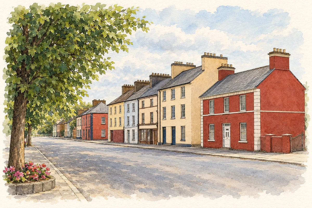
Main Street, Ballindine illustration: based on a Main Street, Ballindine (N17) by Neil Theasby. AI-assisted watercolour and ink adaptation; cream paper margins added, incidental clutter omitted and fine details simplified. Licence: CC BY-SA 2.0.
 placenames