The meeting of 20 April 1879 gave Irishtown a central place in Ireland’s land agitation. Contemporary newspaper descriptions now inform a public artwork in the village.
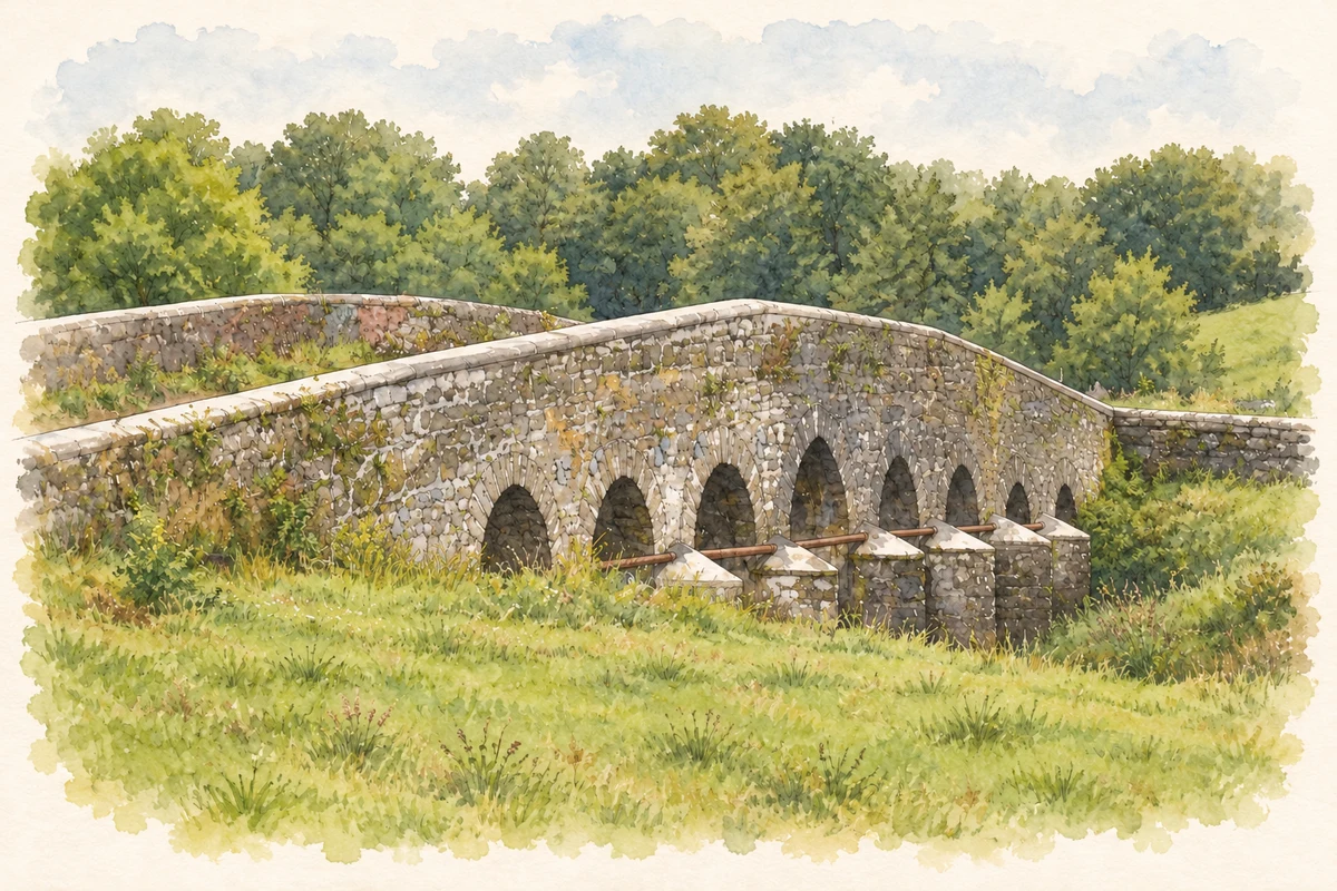
Illustration, Doonmacreena Bridge, near Irishtown
⊕Recorded locationIrishtown53.66313° N · 8.88989° WInteractive map supplied by OpenStreetMap.
These Irish name elements are associated with this record in the Logainm glossary.
An element’s translation is a clue, rather than a complete explanation of the name. Its form and meaning depend on local history and the full Irish name.
Recorded forms
An Baile Gaelach· Irish · main form · validated name
Irishtown· English · main form
Place & story
The meeting of April 1879
A tenants’ rights meeting took place at Irishtown on 20 April 1879. The Connaught Telegraph’s report, reproduced in University College Cork’s teaching resources, described a procession from Claremorris through Ballindine, with contingents travelling on foot, horseback and in vehicles. Green ribbons or laurel leaves identified the different groups. A platform stood in a field near Carton House. These details preserve the organisation and public display behind a demonstration that became a landmark in the development of the Land League.[2]
People & connections
James Daly in the chair
James Daly, editor of the Connaught Telegraph, chaired the Irishtown meeting. In the report of his speech, he linked demands for lower rents to declining prices for farm produce and repeated poor harvests. He urged tenant-defence meetings in other parishes. The account presents him as a journalist participating directly in the campaign his newspaper publicised. Irishtown’s importance rests in this gathering and the wider agitation it helped stimulate; the national Land League organisation was established later in 1879.[2]
Words from the Land
Noah Rose’s Briathra Talún / Words from the Land was launched at Páirc a’ Tobair on Easter Monday 2025. Its Corten-steel columns carry laser-cut newspaper quotations in Irish and English, bringing archival language into an outdoor public setting. Rose researched reports of the 1879 meeting in Mayo County Library and discussed the challenges of translating them into steel. Commissioned through Mayo County Council’s Per Cent for Art programme, the installation gives the village’s political history a new material form.[3]
Both counts use the 2016 settlement boundary, allowing like-for-like comparison. CSO supplies the 2022 count on this older boundary for comparison only. The official 2022 Built Up Area has different boundaries.
View population figures
Irishtown — Census 2016 settlement footprint — census population
These figures use different area definitions. Read the boundary note before comparing them.
Irishtown, Mayo
Published census settlement populations
129people · 2016
Settlement boundaries changed during this period. Differences may reflect boundary changes as well as population change. Where a 2011 legal-town-and-environs count is shown, it has not been recalculated onto the 2016 settlement boundary.
Doonmacreena Bridge over the Dalgan River, near Irishtown, County Mayo illustration: based on a Doonmacreena Bridge by David Purchase. AI-assisted watercolour and ink adaptation; cream paper margins added, incidental clutter omitted and fine details simplified. Licence: CC BY-SA 2.0.
 placenames