These Irish name elements are associated with this record in the Logainm glossary.
An element’s translation is a clue, rather than a complete explanation of the name. Its form and meaning depend on local history and the full Irish name.
Recorded forms
Gob an Choire· Irish · main form · validated name
Achill Sound· English · main form
Place & story
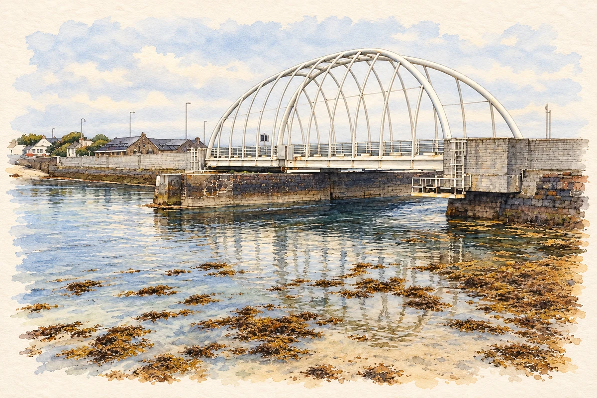
The bridge named for Michael Davitt
The first Michael Davitt Bridge opened in 1887, linking Achill Island with the Corraun peninsula. A photograph in the National Library’s Eason Collection shows its swinging section open to let vessels through the sound. The catalogue connects its name with the Land League founder. The image preserves an important feature of the crossing: road access was designed to coexist with navigation through the channel.[2]
The arrival of the railway
The railway reached Achill Sound on 13 May 1895, completing the route from Westport through Newport and Mulranny. Mayo County Council’s greenway history describes benefits for tourism, trade and postal services, with eggs, fish and turf among goods carried to Dublin. The line gave the district access to a national transport network; its eventual closure in 1937 left a corridor that later acquired a different public use.[3]
A new route towards Cashel
The Achill Sound–Cashel greenway section extends five kilometres, including 400 metres of boardwalk. Mayo County Council identifies it as a shared walking and cycling route with services at both ends. The wider greenway primarily follows the former railway, with access across private land secured through agreements with landowners. It connects the village’s transport heritage with a landscape now experienced at walking or cycling pace.[4]
Both counts use the 2016 settlement boundary, allowing like-for-like comparison. CSO supplies the 2022 count on this older boundary for comparison only. The official 2022 Built Up Area has different boundaries.
View population figures
Gob An Choire — Census 2016 settlement footprint — census population
Gob an Choire, Mayo — Census town, CSO 2006 report
2002–2006: census town
302people · 2006
These are the historical areas published in the 2006 census report. Boundaries may differ between censuses and from modern settlements. Legal towns, environs and suburbs are shown separately; none has been combined into a modern settlement total.
View population figures
Gob an Choire, Mayo — Census town, CSO 2006 report — census population
Gob an Choire, Mayo — Census town, CSO 1996 report
1991–1996: census town
277people · 1996
These are the historical areas published in the 1996 census report. Boundaries may differ between censuses and from modern settlements. Legal towns, environs and suburbs are shown separately; none has been combined into a modern settlement total.
View population figures
Gob an Choire, Mayo — Census town, CSO 1996 report — census population
These figures use different area definitions. Read the boundary note before comparing them.
Gob an Choire, Mayo
Published census settlement populations
238people · 2016
Settlement boundaries changed during this period. Differences may reflect boundary changes as well as population change. Where a 2011 legal-town-and-environs count is shown, it has not been recalculated onto the 2016 settlement boundary.
 placenames