These Irish name elements are associated with this record in the Logainm glossary.
An element’s translation is a clue, rather than a complete explanation of the name. Its form and meaning depend on local history and the full Irish name.
Recorded forms
Dún an Rí· Irish · main form · validated name
Kingscourt· English · main form
Place & story
People & connections
The Pratts' new town
Mervyn Pratt founded Kingscourt near the older village of Cabra late in the eighteenth century; his brother, the Reverend Joseph Pratt, completed the development. Lewis attributed its growth to favourable leases, building materials, improved roads and a market. By 1837 he described a wide street of 314 stone houses, roofed with slate, with a market house and daily post. Tuesday markets and several annual fairs served the surrounding district.[2]
Cabra's landscape
Lewis described the neighbouring Cabra demesne as an extensive wooded estate. A deep glen carried a fast-flowing stream over rock and cascades, with a high bridge whose abutments were cut into the rock. Saw mills nearby put the water to industrial use. His description connects the ornamental landscape with the practical exploitation of its stream.[2]
Folklore & tradition
A battle remembered in the glen
Lewis recorded a tradition that a northern people travelling west had been defeated in Cabra glen. Older inhabitants, he wrote in 1837, remembered human bones being found there. The tale attached an unnamed battle to the dramatic wooded passage beside the town.[2]
A surviving shopfront
A house on Main Street, recorded as J. McKiernan's, preserves a different kind of craftsmanship. Built around 1800 and formerly used as a public house, it has a timber shopfront with carved corbels, pilasters and a stepped cornice. Its separate residential and commercial entrances recall the close relationship between home and business on the street.[3]
Both counts use the 2016 settlement boundary, allowing like-for-like comparison. CSO supplies the 2022 count on this older boundary for comparison only. The official 2022 Built Up Area has different boundaries.
View population figures
Kingscourt — Census 2016 settlement footprint — census population
These are the historical areas published in the 2006 census report. Boundaries may differ between censuses and from modern settlements. Legal towns, environs and suburbs are shown separately; none has been combined into a modern settlement total.
View population figures
Kingscourt, Cavan — Census town, CSO 2006 report — census population
These are the historical areas published in the 1996 census report. Boundaries may differ between censuses and from modern settlements. Legal towns, environs and suburbs are shown separately; none has been combined into a modern settlement total.
View population figures
Kingscourt, Cavan — Census town, CSO 1996 report — census population
Figures cover the historical town area printed in the 1986 report. Boundaries may have changed between censuses. Legal town, environs and suburb totals remain separate and differ from modern settlement boundaries.
View population figures
Kingscourt, Cavan — Census town, CSO 1986 report — census population
These figures use different area definitions. Read the boundary note before comparing them.
Kingscourt, Cavan
Published census settlement populations
2,499people · 2016
Settlement boundaries changed during this period. Differences may reflect boundary changes as well as population change. Where a 2011 legal-town-and-environs count is shown, it has not been recalculated onto the 2016 settlement boundary.
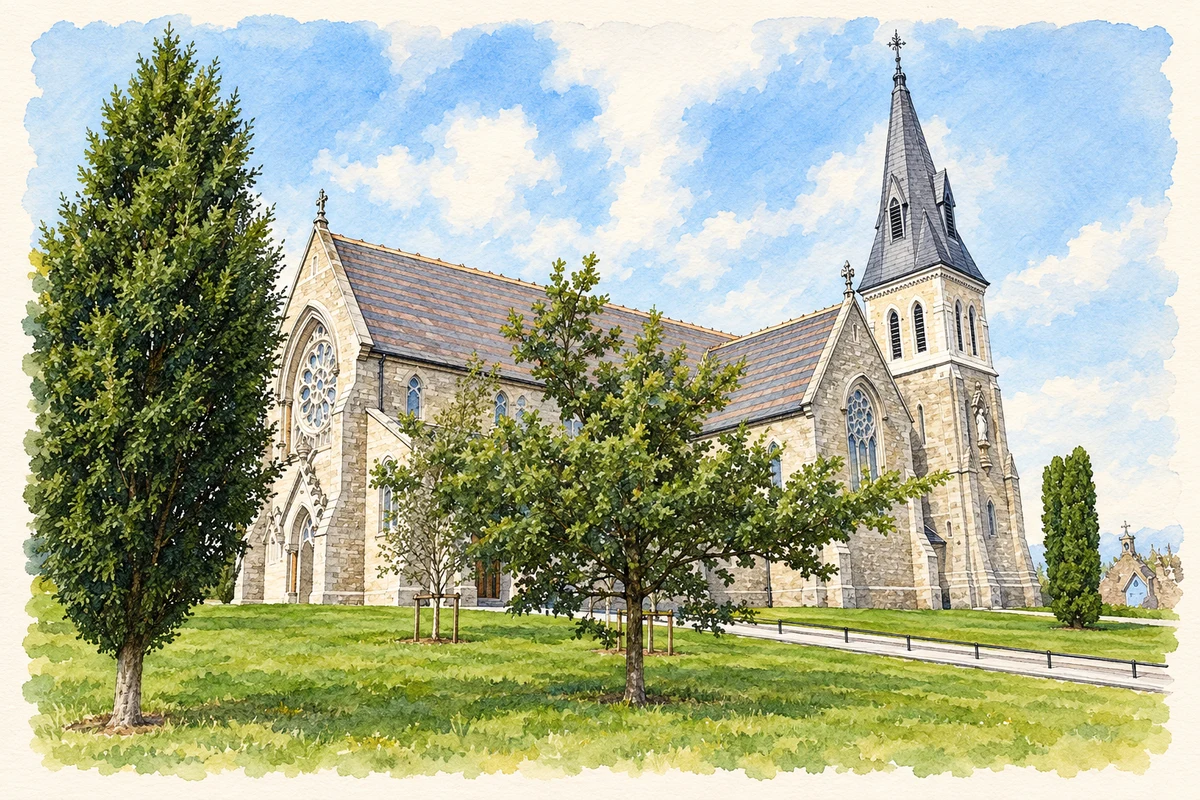
Church of the Immaculate Conception, Kingscourt illustration: based on a St Mary's Church, Kells Road, Kingscourt by Eric Jones. AI-assisted watercolour and ink adaptation; cream paper margins added, incidental clutter omitted and fine details simplified. Licence: CC BY-SA 2.0.
 placenames