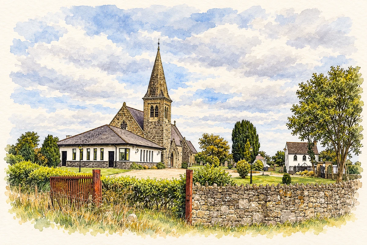
The River Nanny made Julianstown a crossing place and a centre of milling, while the Pepper family's cottages and public buildings shaped its later streetscape.
Illustration, Saint Mary's Church of Ireland, Julianstown
⊕Recorded locationJulianstown53.66932° N · 6.27971° WInteractive map supplied by OpenStreetMap.
These Irish name elements are associated with this record in the Logainm glossary.
An element’s translation is a clue, rather than a complete explanation of the name. Its form and meaning depend on local history and the full Irish name.
Recorded forms
Baile Iúiliáin· Irish · main form · validated name
Julianstown· English · main form
Place & story
The river and its mills
The River Nanny provided both a crossing and a source of power for Julianstown. Meath's heritage trail records fourteen flax or corn mills along the river during the nineteenth century. The village's Old Mill appears on the Ordnance Survey map of 1837 and occupied a central position beside the crossing. A surviving lime kiln recalls another local industry. Together, these features give the riverside a history of processing crops and building materials as well as carrying travellers through the village.[2]
A battle on the road to Drogheda
In 1641 Irish insurgents defeated government troops at the Julianstown crossing during the rebellion and siege of Drogheda. A plaque on the later bridge commemorates the encounter. The road continued to shape the settlement in more peaceful circumstances: in 1731 it became part of the Dublin–Dunleer turnpike route. A toll point at Whitecross and a facility for changing horses near the mill served this traffic. The same river passage therefore mattered to military movement, commercial travel and the practical organisation of a long journey.[3]
People & connections
The Pepper family's village buildings
Major Charles Pepper of nearby Ballygarth was responsible for several buildings that gave Julianstown its later character. The heritage trail dates the six Swiss-style workers' cottages on Main Street to 1897, the courthouse to 1890 and the constabulary barracks to 1903. The courthouse subsequently became a dispensary and then a private residence. These buildings brought housing, policing and local administration into a relatively short stretch of road. Their different functions remain part of the explanation for the village's distinctive appearance, even where the original public use has ended.[4]
Both counts use the 2016 settlement boundary, allowing like-for-like comparison. CSO supplies the 2022 count on this older boundary for comparison only. The official 2022 Built Up Area has different boundaries.
View population figures
Julianstown — Census 2016 settlement footprint — census population
These figures use different area definitions. Read the boundary note before comparing them.
Julianstown, Meath
Published census settlement populations
681people · 2016
Settlement boundaries changed during this period. Differences may reflect boundary changes as well as population change. Where a 2011 legal-town-and-environs count is shown, it has not been recalculated onto the 2016 settlement boundary.
 placenames