A reliable full-name meaning has not been established here. The recorded Irish and English forms are given without an unsupported translation.
Recorded forms
Buíochar· Irish · main form · validated name
Rockcorry· English · main form
Place & story
Wednesdays on the village street
Samuel Lewis described Rockcorry in 1837 as a single wide street on the old road between Cootehill and Monaghan. A weekly Wednesday market and a fair on the last Wednesday of each month brought regular trade. Petty sessions met on alternate Wednesdays, while an infants’ school and sewing school occupied the market house. Lewis also noted Presbyterian and Wesleyan meetinghouses and a dispensary. The account shows commercial, educational and administrative activities sharing a compact village centre.[2]
The market house at the crossroads
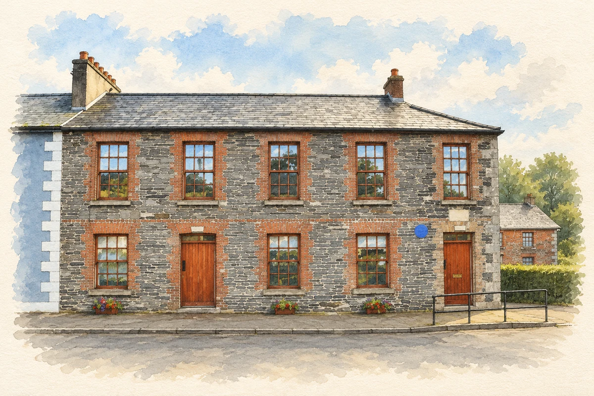
Rockcorry Market House carries the date 1805 in Roman numerals on its pediment. Its corner position at the main crossroads gave the building a conspicuous place in village life. The architectural inventory records round-headed openings later altered with windows, shopfronts and a doorway, as well as additions behind the original block. The classical front and hipped slate roof retained a public-building character even as the uses of individual openings and rooms changed.[3]
People & connections
John Robert Gregg’s schooldays
Rockcorry National School records John Robert Gregg enrolling in 1872 at its former village building, which had opened in 1846. Gregg later became known internationally for his shorthand system. The school’s own history connects that childhood association with a longer educational sequence: the old building was renovated in 2002, and a new school opened at Dartrey Forest in September 2012 after the parish group secured a site from Coillte. Gregg’s local connection is thus anchored to an identifiable school and enrolment year.[4]
A memorial at Dartrey
The nearby Dartrey Mausoleum commemorates Lady Anne Dawson, who died in 1769. Conservation architect John Redmill’s account for the Irish Georgian Society attributes the design to James Wyatt, while noting the lack of definitive commission documents. Joseph Wilton made the memorial sculpture. Redmill distinguishes the commemorative building from her burial place: she was buried at Saint John’s Church, and her remains were later moved to England. Modern conservation included a reconstructed dome, covered in zinc in 2010, after the building had lost its roof.[5]
Both counts use the 2016 settlement boundary, allowing like-for-like comparison. CSO supplies the 2022 count on this older boundary for comparison only. The official 2022 Built Up Area has different boundaries.
View population figures
Rockcorry — Census 2016 settlement footprint — census population
Rockcorry, Monaghan — Census town, CSO 2006 report
2002–2006: census town
292people · 2006
These are the historical areas published in the 2006 census report. Boundaries may differ between censuses and from modern settlements. Legal towns, environs and suburbs are shown separately; none has been combined into a modern settlement total.
View population figures
Rockcorry, Monaghan — Census town, CSO 2006 report — census population
Rockcorry, Monaghan — Census town, CSO 1996 report
1991–1996: census town
260people · 1996
These are the historical areas published in the 1996 census report. Boundaries may differ between censuses and from modern settlements. Legal towns, environs and suburbs are shown separately; none has been combined into a modern settlement total.
View population figures
Rockcorry, Monaghan — Census town, CSO 1996 report — census population
Rockcorry, Monaghan — Census town, CSO 1986 report
1981–1986: census town
300people · 1986
Figures cover the historical town area printed in the 1986 report. Boundaries may have changed between censuses. Legal town, environs and suburb totals remain separate and differ from modern settlement boundaries.
View population figures
Rockcorry, Monaghan — Census town, CSO 1986 report — census population
These figures use different area definitions. Read the boundary note before comparing them.
Rockcorry, Monaghan
Published census settlement populations
316people · 2016
Settlement boundaries changed during this period. Differences may reflect boundary changes as well as population change. Where a 2011 legal-town-and-environs count is shown, it has not been recalculated onto the 2016 settlement boundary.
 placenames