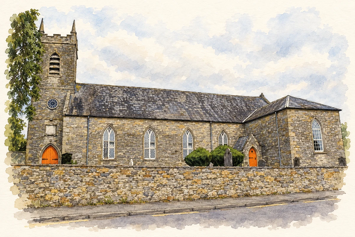
Bellanode's historic buildings cluster around a river crossing and a church that became the parish centre in the eighteenth century. Its former school and corrugated-iron hall record two different eras of community life.
Illustration, St Dympna's Church, Bellanode
⊕Recorded locationBellanode54.26685° N · 7.03416° WInteractive map supplied by OpenStreetMap.
These Irish name elements are associated with this record in the Logainm glossary.
An element’s translation is a clue, rather than a complete explanation of the name. Its form and meaning depend on local history and the full Irish name.
Recorded forms
Béal Átha an Fhóid· Irish · main form · validated name
Bellanode· English · main form
Ballinode· English · main form · local name
Place & story
Three arches over the Blackwater
Bellanode Bridge carries the road across the River Blackwater on three segmental arches. Built around 1790, its hump-backed roadway and sandstone masonry give the crossing a distinctive outline. The cutwaters projecting from its piers differ: one rises to the full height of the bridge, while another is lower. The architectural survey suggests that this arrangement may reflect later rebuilding in response to changes in the river's flow.[2]
A parish moves its centre
Saint Davnet's Church was built in 1754–55 after the parish church moved from its earlier rural location near Tydavnet. Its tower dates from 1804, and transepts were added in 1830. Another substantial refurbishment followed in 1867, when Henry Sharpe carried out work to designs by Welland and Gillespie. Inside, a timber barrel-vaulted ceiling covers the nave, while Tuscan columns support the western gallery. The church's layered construction records successive generations enlarging and reshaping the parish's principal building.[3]
The school becomes a parish hall
The nearby parochial school bears the date 1826. Its small, single-storey building retains timber sash windows and a plaque recording its construction. By the late nineteenth century it had become a parish hall, continuing to serve the community after its classroom role ended. The surviving building belongs to the older parochial school system, which preceded the national-school network established in the following decade.[4]
A hall built in corrugated iron
A separate community building at Terrytole, formerly Bellanode Hall, dates from about 1930. Both its walls and pitched roof are clad in corrugated iron, with the walls standing on a rubble-stone base. Pointed finials decorate the gables, and louvred vents occupy their upper parts. This lightweight construction provides a striking contrast in materials with the village's sandstone bridge and church, while preserving another part of Bellanode's social history.[5]
Both counts use the 2016 settlement boundary, allowing like-for-like comparison. CSO supplies the 2022 count on this older boundary for comparison only. The official 2022 Built Up Area has different boundaries.
View population figures
Bellanode — Census 2016 settlement footprint — census population
Bellanode, Monaghan — Census town, CSO 2006 report
2002–2006: census town
400people · 2006
These are the historical areas published in the 2006 census report. Boundaries may differ between censuses and from modern settlements. Legal towns, environs and suburbs are shown separately; none has been combined into a modern settlement total.
View population figures
Bellanode, Monaghan — Census town, CSO 2006 report — census population
Bellanode, Monaghan — Census town, CSO 1996 report
1991–1996: census town
391people · 1996
These are the historical areas published in the 1996 census report. Boundaries may differ between censuses and from modern settlements. Legal towns, environs and suburbs are shown separately; none has been combined into a modern settlement total.
View population figures
Bellanode, Monaghan — Census town, CSO 1996 report — census population
Bellanode, Monaghan — Census town, CSO 1986 report
1981–1986: census town
312people · 1986
Figures cover the historical town area printed in the 1986 report. Boundaries may have changed between censuses. Legal town, environs and suburb totals remain separate and differ from modern settlement boundaries.
View population figures
Bellanode, Monaghan — Census town, CSO 1986 report — census population
These figures use different area definitions. Read the boundary note before comparing them.
Bellanode, Monaghan
Published census settlement populations
470people · 2016
Settlement boundaries changed during this period. Differences may reflect boundary changes as well as population change. Where a 2011 legal-town-and-environs count is shown, it has not been recalculated onto the 2016 settlement boundary.
 placenames