These Irish name elements are associated with this record in the Logainm glossary.
An element’s translation is a clue, rather than a complete explanation of the name. Its form and meaning depend on local history and the full Irish name.
Recorded forms
Na Mullaí· Irish · main form · validated name
Smithborough· English · main form
Place & story
The surviving Whit Monday fair
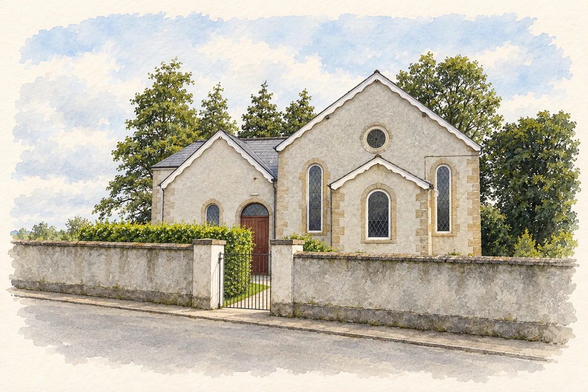
Samuel Lewis's 1837 account calls the village Smithsborough and attributes its name to a man named Smith who had established monthly fairs during the previous century. By Lewis's time, only the Whit Monday cattle fair remained. He records fifty-eight houses, a Presbyterian meeting-house, a dispensary, a police station and a school. A penny post connected the village with Monaghan. This dated description captures a small service centre whose identity was tied to roads, livestock trading and facilities shared with the surrounding countryside.[2]
The station between Monaghan and Clones
Smithborough station opened on the Ulster Railway in March 1863, when the route reached Clones. The industrial heritage survey records later Great Northern Railway additions, including a waiting shelter associated with chief engineer W. H. Mills and a signal cabin of the company's familiar timber-over-brick design. Passenger service ended in October 1957, but other traffic continued until December 1959. The station's separate closure dates and surviving photographic record reveal a gradual withdrawal of railway activity rather than one single final event.[3]
Kilcorran’s dated doorway
Nearby Kilcorran House carries the date 1756 above a doorway. Its exposed basement and broad entrance steps give the house a conspicuous height, a feature highlighted in the architectural inventory's county survey. The University of Galway's Landed Estates research identifies William Beatty as the mid-nineteenth-century resident and records the family's continuing association into the 1940s. The house represents a different scale of domestic building from the village street, with architectural features and ownership records offering complementary ways to follow its history.[4][5]
Both counts use the 2016 settlement boundary, allowing like-for-like comparison. CSO supplies the 2022 count on this older boundary for comparison only. The official 2022 Built Up Area has different boundaries.
View population figures
Smithborough — Census 2016 settlement footprint — census population
Smithborough, Monaghan — Census town, CSO 2006 report
2002–2006: census town
309people · 2006
These are the historical areas published in the 2006 census report. Boundaries may differ between censuses and from modern settlements. Legal towns, environs and suburbs are shown separately; none has been combined into a modern settlement total.
View population figures
Smithborough, Monaghan — Census town, CSO 2006 report — census population
Smithborough, Monaghan — Census town, CSO 1996 report
1991–1996: census town
232people · 1996
These are the historical areas published in the 1996 census report. Boundaries may differ between censuses and from modern settlements. Legal towns, environs and suburbs are shown separately; none has been combined into a modern settlement total.
View population figures
Smithborough, Monaghan — Census town, CSO 1996 report — census population
Smithborough, Monaghan — Census town, CSO 1986 report
1981–1986: census town
246people · 1986
Figures cover the historical town area printed in the 1986 report. Boundaries may have changed between censuses. Legal town, environs and suburb totals remain separate and differ from modern settlement boundaries.
View population figures
Smithborough, Monaghan — Census town, CSO 1986 report — census population
These figures use different area definitions. Read the boundary note before comparing them.
Smithborough, Monaghan
Published census settlement populations
395people · 2016
Settlement boundaries changed during this period. Differences may reflect boundary changes as well as population change. Where a 2011 legal-town-and-environs count is shown, it has not been recalculated onto the 2016 settlement boundary.
 placenames