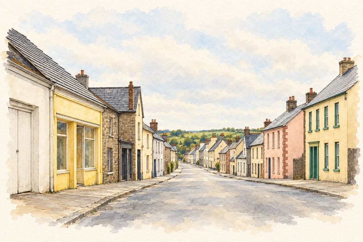
Emyvale's history reaches from the McKenna country of north Monaghan to Prince Edward Island, while its surrounding lanes and bridges recall the writer William Carleton.
Illustration, Main Street, Emyvale
⊕Recorded locationEmyvale54.33987° N · 6.95810° WInteractive map supplied by OpenStreetMap.
A reliable full-name meaning has not been established here. The recorded Irish and English forms are given without an unsupported translation.
Recorded forms
Scairbh na gCaorach· Irish · main form · validated name
Emyvale· English · main form
Place & story
Families bound for Prince Edward Island
In 1830 Canon Patrick Moynagh arranged the emigration of more than sixty families from Donagh, Glaslough and Emyvale to Prince Edward Island. Some joined relatives whose journeys had previously taken them through Glasgow before reaching Canada. The village trail records this movement as an important foundation of continuing links between north Monaghan and the Canadian island. It gives Emyvale's emigrant history a particular destination and organised departure, connecting the local parish network with families establishing new lives across the Atlantic.[2]
People & connections
Carleton's schooldays and the Blue Bridge
William Carleton attended a classical school beside Glennan chapel near Glaslough and lodged with McCarron relatives at Derrygola near Emyvale. The William Carleton Society identifies that lodging from his autobiography. The surrounding landscape later entered his writing through The Fair of Emyvale. The Blue Bridge at Inishdevlin is associated with this literary connection; the society suggests that Carleton's walk to school would have crossed it. Modern commemorations follow these places, bringing his schooldays, family connections and fictional treatment of the fair into the same local landscape.[3]
A courthouse transformed into an oratory
Donagh Oratory stands where Main Street meets Glaslough Road. The building's history includes several changes of purpose. Originally a petty sessions courthouse, it was burned during the War of Independence in 1921. Later uses included concert and dance halls before its conversion into an oratory in 1971. A rebuilding followed in 1999. Its interior includes a stained-glass window and a replica of the McKenna High Cross. These successive uses place administration, entertainment and worship on the same village site.[2]
Both counts use the 2016 settlement boundary, allowing like-for-like comparison. CSO supplies the 2022 count on this older boundary for comparison only. The official 2022 Built Up Area has different boundaries.
View population figures
Emyvale — Census 2016 settlement footprint — census population
These are the historical areas published in the 2006 census report. Boundaries may differ between censuses and from modern settlements. Legal towns, environs and suburbs are shown separately; none has been combined into a modern settlement total.
View population figures
Emyvale, Monaghan — Census town, CSO 2006 report — census population
These are the historical areas published in the 1996 census report. Boundaries may differ between censuses and from modern settlements. Legal towns, environs and suburbs are shown separately; none has been combined into a modern settlement total.
View population figures
Emyvale, Monaghan — Census town, CSO 1996 report — census population
Figures cover the historical town area printed in the 1986 report. Boundaries may have changed between censuses. Legal town, environs and suburb totals remain separate and differ from modern settlement boundaries.
View population figures
Emyvale, Monaghan — Census town, CSO 1986 report — census population
These figures use different area definitions. Read the boundary note before comparing them.
Emyvale, Monaghan
Published census settlement populations
701people · 2016
Settlement boundaries changed during this period. Differences may reflect boundary changes as well as population change. Where a 2011 legal-town-and-environs count is shown, it has not been recalculated onto the 2016 settlement boundary.
Main Street, Emyvale illustration: based on a View south along Main Street, Emyvale by Eric Jones. AI-assisted watercolour and ink adaptation; cream paper margins added, incidental clutter omitted and fine details simplified. Licence: CC BY-SA 2.0.
 placenames