A reliable full-name meaning has not been established here. The recorded Irish and English forms are given without an unsupported translation.
Recorded forms
Muineachán· Irish · main form · validated name
Monaghan· English · main form
Place & story
Before the borough
Lewis begins with a monastery recorded in annals and a later Franciscan foundation associated with Phelim MacMahon. He does not describe a large medieval town growing continuously beside them. Instead his account emphasises the small scale of settlement at the beginning of the seventeenth century.[2]
Forts and new institutions
The directory describes Edward Blayney’s fort, garrison and the sparse accommodation available when officials visited during the Ulster settlement. It then records a market grant in 1611 and incorporation in 1613. Monaghan’s growth is thus connected with new military and civil institutions as well as trade.[2]
Rossmore's vanished house
Rossmore Castle outside Monaghan combined William Vitruvius Morrison's Tudor-Gothic design of 1827 with William Henry Lynn's Scottish Baronial additions of 1858. Dry rot led to its abandonment after the Second World War, followed by demolition. The museum preserves photographs of the lost house.[3]
Remembering Rossmore in the town
A mural unveiled in 2022 depicts Rossmore Castle on a wall of the Westenra Hotel. The hotel's name recalls the family associated with the Rossmore title. This modern commemoration returns an image of the vanished estate house to the town's streets.[4]
Both counts use the 2016 settlement boundary, allowing like-for-like comparison. CSO supplies the 2022 count on this older boundary for comparison only. The official 2022 Built Up Area has different boundaries.
View population figures
Monaghan — Census 2016 settlement footprint — census population
These are the historical areas published in the 2006 census report. Boundaries may differ between censuses and from modern settlements. Legal towns, environs and suburbs are shown separately; none has been combined into a modern settlement total.
View population figures
Monaghan Legal Town, Monaghan — Legal town, CSO 2006 report — census population
Monaghan Environs, Monaghan — Town environs only, CSO 2006 report
2002–2006: town environs only
489people · 2006
These are the historical areas published in the 2006 census report. Boundaries may differ between censuses and from modern settlements. Legal towns, environs and suburbs are shown separately; none has been combined into a modern settlement total.
View population figures
Monaghan Environs, Monaghan — Town environs only, CSO 2006 report — census population
These are the historical areas published in the 1996 census report. Boundaries may differ between censuses and from modern settlements. Legal towns, environs and suburbs are shown separately; none has been combined into a modern settlement total.
View population figures
Monaghan Legal Town, Monaghan — Legal town, CSO 1996 report — census population
Monaghan Environs, Monaghan — Town environs only, CSO 1996 report
1991–1996: town environs only
214people · 1996
These are the historical areas published in the 1996 census report. Boundaries may differ between censuses and from modern settlements. Legal towns, environs and suburbs are shown separately; none has been combined into a modern settlement total.
View population figures
Monaghan Environs, Monaghan — Town environs only, CSO 1996 report — census population
Figures cover the historical town area printed in the 1986 report. Boundaries may have changed between censuses. Legal town, environs and suburb totals remain separate and differ from modern settlement boundaries.
View population figures
Monaghan, Monaghan — Legal town, CSO 1986 report — census population
Monaghan, Monaghan — Town environs only, CSO 1986 report
1981–1986: town environs only
209people · 1986
Figures cover the historical town area printed in the 1986 report. Boundaries may have changed between censuses. Legal town, environs and suburb totals remain separate and differ from modern settlement boundaries.
View population figures
Monaghan, Monaghan — Town environs only, CSO 1986 report — census population
These figures use different area definitions. Read the boundary note before comparing them.
Monaghan, Monaghan — 2011 legal town and environs; 2016 census settlement
Published census settlement populations
7,678people · 2016
Settlement boundaries changed during this period. Differences may reflect boundary changes as well as population change. Where a 2011 legal-town-and-environs count is shown, it has not been recalculated onto the 2016 settlement boundary.
View population figures
Monaghan, Monaghan — 2011 legal town and environs; 2016 census settlement — census population
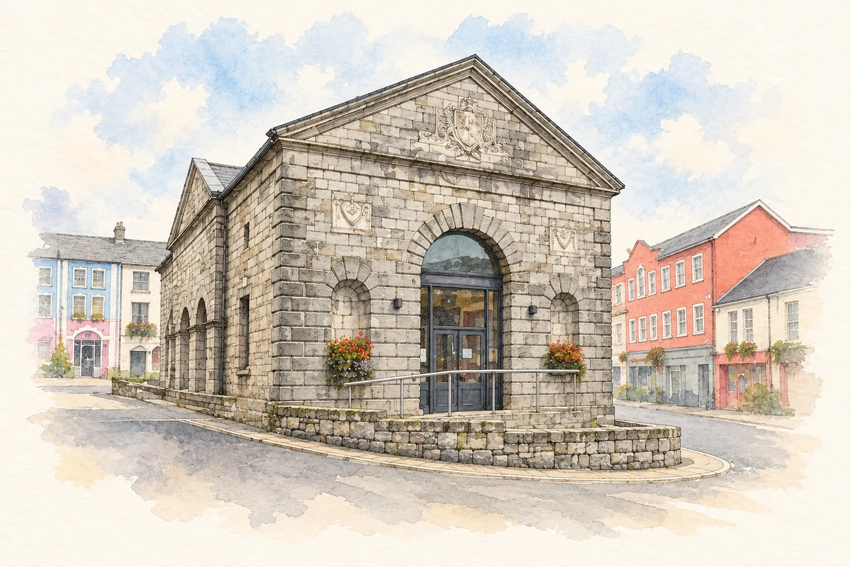
Monaghan Market House, County Monaghan illustration: based on a Monaghan Market House by Kenneth Allen. AI-assisted watercolour and ink adaptation; cream paper margins added, incidental clutter omitted and fine details simplified. Licence: CC BY-SA 2.0.
 placenames