Scotstown's heritage includes a corn mill with its waterwheel and machinery, a former pro-cathedral at Urbleshanny, and a football club that brought together three parish teams.
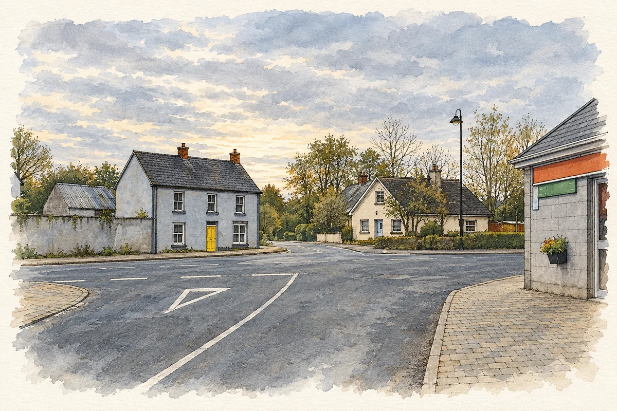
Illustration, village centre, Scotstown, in 2007
⊕Recorded locationScotstown54.27953° N · 7.06521° WInteractive map supplied by OpenStreetMap.
These Irish name elements are associated with this record in the Logainm glossary.
An element’s translation is a clue, rather than a complete explanation of the name. Its form and meaning depend on local history and the full Irish name.
Recorded forms
Baile an Scotaigh· Irish · main form · validated name
Scotstown· English · main form
Place & story
A waterwheel at Teraverty
The water-powered corn mill at Teraverty was built around 1780 and refurbished about 1850. Its history includes an interruption: the Ordnance Survey memoir described it as ruinous in 1838, before repairs brought it back into production. It continued working until about 1966, processing crops grown in the surrounding district. The architectural survey records surviving milling machinery inside and a breast-shot waterwheel outside, complete with timber paddles and spokes. These working parts explain how the modest two-storey stone building served the local farming economy.[2]
Urbleshanny's years as a pro-cathedral
Urbleshanny chapel was built by Father James Murphy in 1785. When he became Bishop of Clogher, it served as his pro-cathedral between 1801 and 1824 while he lived at Drumshevera. A survey in 1833 described a plain stone church with two towers and staircases to galleries; its floor remained unfinished. Later renovations changed the interior repeatedly. The galleries were removed in 1947, and work in 1993 restored the original plan. Murphy's chalice was returned from St Macartan's College during that restoration.[3]
Three teams become one
Scotstown's football history reaches across the parish of Tydavnet. Scotstown, Knockatallon and Tydavnet formerly fielded separate teams, sometimes competing at the same time. Emigration made sustaining those teams increasingly difficult during the 1950s. Their amalgamation preceded Scotstown's first senior county championship in 1960, followed by another in 1961. The club later won three consecutive Ulster championships, in 1978, 1979 and 1980. Its appearance in the All-Ireland club final on St Patrick's Day 1979 became another milestone in that period of success.[4]
People & connections
From parish football to national office
Scotstown also supplied prominent national GAA administrators. Seán McCague served as the association's president from 2000 to 2003. Páraic Duffy became its eighteenth director general, holding that office from 2008 to 2018. Their careers connect the parish club with the organisation of Gaelic games throughout Ireland.[5]
Both counts use the 2016 settlement boundary, allowing like-for-like comparison. CSO supplies the 2022 count on this older boundary for comparison only. The official 2022 Built Up Area has different boundaries.
View population figures
Scotstown — Census 2016 settlement footprint — census population
Scotstown, Monaghan — Census town, CSO 2006 report
2002–2006: census town
250people · 2006
These are the historical areas published in the 2006 census report. Boundaries may differ between censuses and from modern settlements. Legal towns, environs and suburbs are shown separately; none has been combined into a modern settlement total.
View population figures
Scotstown, Monaghan — Census town, CSO 2006 report — census population
Scotstown, Monaghan — Census town, CSO 1996 report
1991–1996: census town
234people · 1996
These are the historical areas published in the 1996 census report. Boundaries may differ between censuses and from modern settlements. Legal towns, environs and suburbs are shown separately; none has been combined into a modern settlement total.
View population figures
Scotstown, Monaghan — Census town, CSO 1996 report — census population
Scotstown, Monaghan — Census town, CSO 1986 report
1981–1986: census town
256people · 1986
Figures cover the historical town area printed in the 1986 report. Boundaries may have changed between censuses. Legal town, environs and suburb totals remain separate and differ from modern settlement boundaries.
View population figures
Scotstown, Monaghan — Census town, CSO 1986 report — census population
These figures use different area definitions. Read the boundary note before comparing them.
Scotstown, Monaghan
Published census settlement populations
361people · 2016
Settlement boundaries changed during this period. Differences may reflect boundary changes as well as population change. Where a 2011 legal-town-and-environs count is shown, it has not been recalculated onto the 2016 settlement boundary.
Village centre, Scotstown illustration: based on a Scotstown Monaghan by Rorser (Rory Deegan). AI-assisted watercolour and ink adaptation; cream paper margins added, incidental clutter omitted and fine details simplified. Licence: CC BY-SA 3.0.
 placenames