A reliable full-name meaning has not been established here. The recorded Irish and English forms are given without an unsupported translation.
Recorded forms
Céideadh· Irish · main form · validated name
Keadew· English · main form
Keadue· English · main form · local name
Place & story
A festival for O’Carolan
The O’Carolan Harp and Traditional Music Festival began in Keadue in 1978 to commemorate the composer, whose grave lies at Kilronan Cemetery outside the village. The organisers’ history records the opening of O’Carolan Park in 1993, with a specially commissioned harp-inspired sculpture. The festival combines concerts, classes, lectures and dancing, including a door-dancing competition recalling country-house entertainment. Its summer school gives the commemoration an educational role, passing musical skills to new players.[2]
The Church of the Nativity
Keadue’s Church of the Nativity of the Blessed Mary serves as Kilronan’s parish church. The parish history records its dedication by Bishop Woodlock on 8 September 1865, with Canon Michael Broder as parish priest during the building campaign. Donors’ names were preserved in the Golden Book of Kilronan. Later work included substantial renovation in 1981 and further repairs completed in 2009, adding successive chapters to the nineteenth-century building.[3]
Folklore & tradition
Pilgrimage at Saint Lasair’s well
Saint Lasair’s Well near Kilronan Abbey is associated with an annual September patron. The parish records prayers for the dead, drinking the water and visiting devotional stations. It also describes pilgrims crawling beneath an altar stone in hope of easing back pain, and emigrants carrying clay associated with the saint abroad for blessing. These are recorded religious customs and healing beliefs, rather than evidence of medical effects.[3]
Both counts use the 2016 settlement boundary, allowing like-for-like comparison. CSO supplies the 2022 count on this older boundary for comparison only. The official 2022 Built Up Area has different boundaries.
View population figures
Keadew — Census 2016 settlement footprint — census population
These are the historical areas published in the 2006 census report. Boundaries may differ between censuses and from modern settlements. Legal towns, environs and suburbs are shown separately; none has been combined into a modern settlement total.
View population figures
Keadew, Roscommon — Census town, CSO 2006 report — census population
These figures use different area definitions. Read the boundary note before comparing them.
Keadew, Roscommon
Published census settlement populations
154people · 2016
Settlement boundaries changed during this period. Differences may reflect boundary changes as well as population change. Where a 2011 legal-town-and-environs count is shown, it has not been recalculated onto the 2016 settlement boundary.
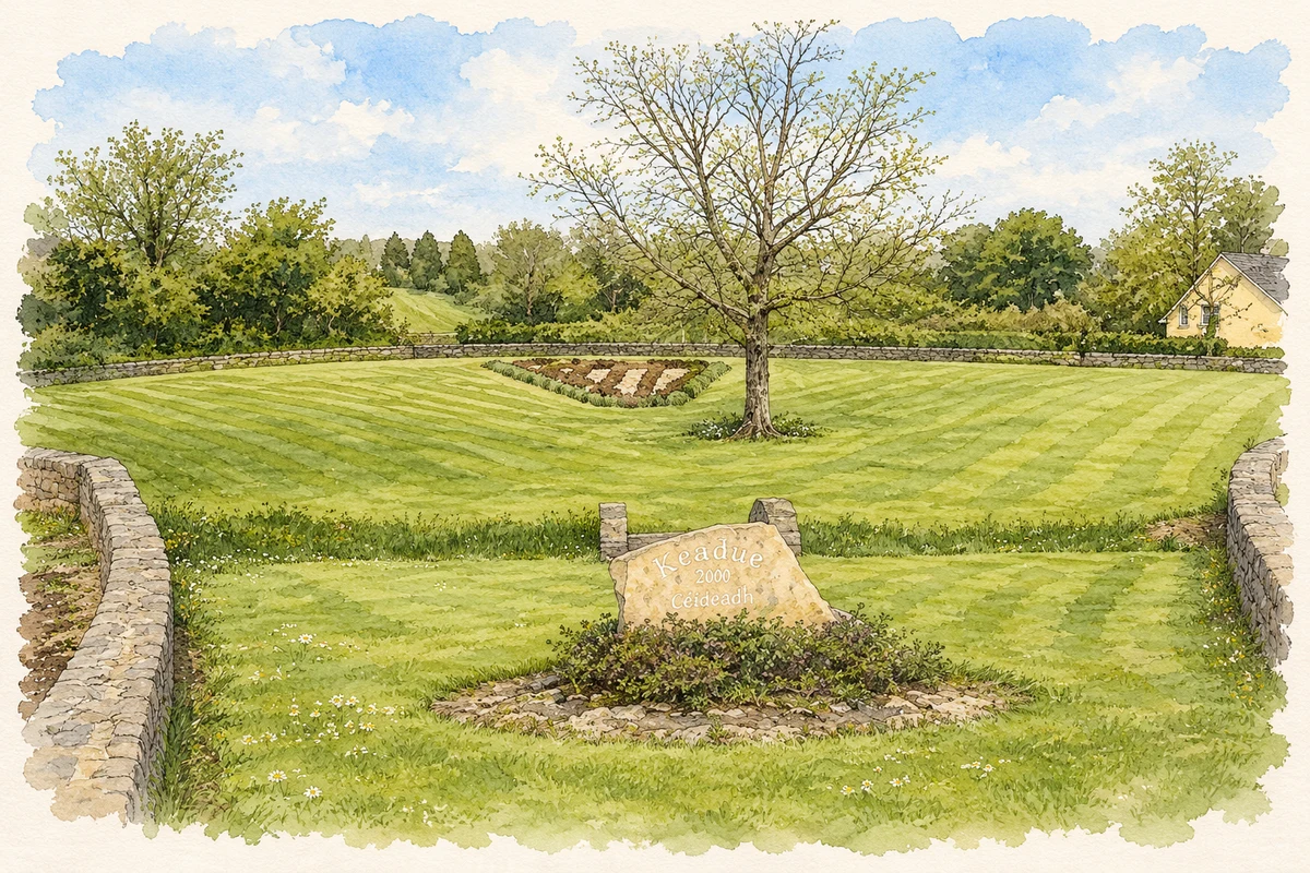
Millennium stone and village park, Keadew illustration: based on a Small park at the west end of Keadue by Oliver Dixon. AI-assisted watercolour and ink adaptation; cream paper margins added, incidental clutter omitted and fine details simplified. Licence: CC BY-SA 2.0.
 placenames