A reliable full-name meaning has not been established here. The recorded Irish and English forms are given without an unsupported translation.
Recorded forms
Achadh an Iúir· Irish · main form · validated name
Virginia· English · main form
Place & story
A town founded during the Plantation
Cavan County Council's development-plan history dates Virginia's foundation to 1612, when John Ridgeway established a settlement during the Plantation of Ulster. Its name commemorated Queen Elizabeth I. The town developed at the northern end of Lough Ramor in south-east Cavan. That combination of a planned foundation and a lakeside setting remains useful for understanding its layout: the settlement's streets and neighbouring estate buildings belong to successive periods of development, rather than to a single moment of construction.[2]
The Marquess of Headfort’s sporting lodge
Virginia Park Lodge began as a hunting retreat associated with the Marquess of Headfort. The National Inventory of Architectural Heritage dates its development in stages between about 1800 and 1880. Its low front, veranda, decorative gables and octagonal brick chimneys give a cottage-like appearance to a more extensive building. Stables, garden buildings and gate lodges formed a working estate around it. Their survival makes the house intelligible as part of a larger landscape beside Lough Ramor, rather than as an isolated country residence.[3]
From church to stage and library
The Ramor Theatre opened in 1999 inside a deconsecrated nineteenth-century church. A further transformation followed in October 2023, when a civic, cultural and library centre opened around it. The neighbouring former parochial house was adapted for theatre facilities, offices and a digital suite, while the development added a library, events space and a riverside public plaza. Cavan County Council's account of the opening documents the reuse of both religious buildings. Together they show how older architecture acquired a continuing place in the town's public life.[4]
Both counts use the 2016 settlement boundary, allowing like-for-like comparison. CSO supplies the 2022 count on this older boundary for comparison only. The official 2022 Built Up Area has different boundaries.
View population figures
Virginia — Census 2016 settlement footprint — census population
These are the historical areas published in the 2006 census report. Boundaries may differ between censuses and from modern settlements. Legal towns, environs and suburbs are shown separately; none has been combined into a modern settlement total.
View population figures
Virginia, Cavan — Census town, CSO 2006 report — census population
These are the historical areas published in the 1996 census report. Boundaries may differ between censuses and from modern settlements. Legal towns, environs and suburbs are shown separately; none has been combined into a modern settlement total.
View population figures
Virginia, Cavan — Census town, CSO 1996 report — census population
Figures cover the historical town area printed in the 1986 report. Boundaries may have changed between censuses. Legal town, environs and suburb totals remain separate and differ from modern settlement boundaries.
View population figures
Virginia, Cavan — Census town, CSO 1986 report — census population
These figures use different area definitions. Read the boundary note before comparing them.
Virginia, Cavan
Published census settlement populations
2,648people · 2016
Settlement boundaries changed during this period. Differences may reflect boundary changes as well as population change. Where a 2011 legal-town-and-environs count is shown, it has not been recalculated onto the 2016 settlement boundary.
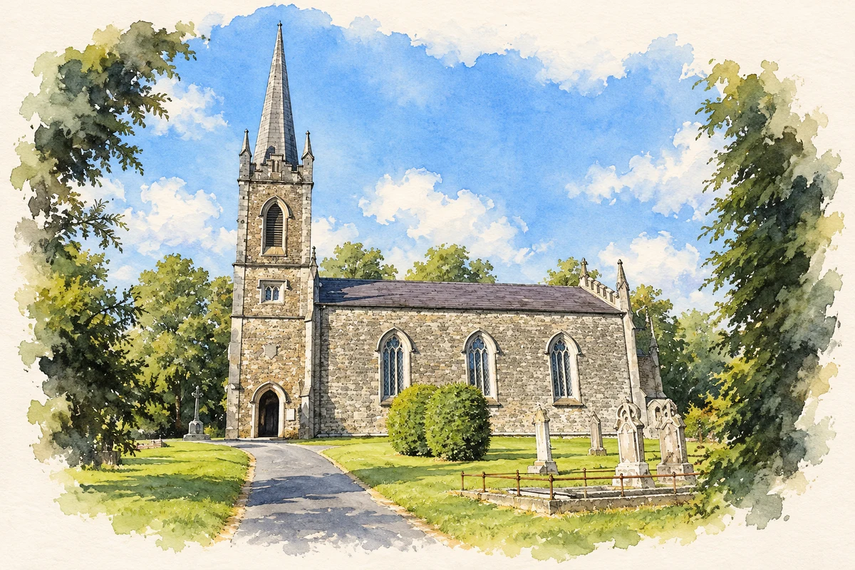
Virginia Church of Ireland, County Cavan illustration: based on a Virginia-Church of Ireland by Ian Rob. AI-assisted watercolour and ink adaptation; cream paper margins added, incidental clutter omitted and fine details simplified. Licence: CC BY-SA 2.0.
 placenames