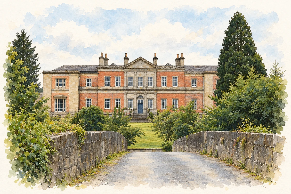
Ballyhaise's house, market building and college preserve three connected histories of estate planning, village commerce and practical farming education.
Illustration, Ballyhaise House, Ballyhaise College
⊕Recorded locationBallyhaise54.04394° N · 7.32066° WInteractive map supplied by OpenStreetMap.
These Irish name elements are associated with this record in the Logainm glossary.
An element’s translation is a clue, rather than a complete explanation of the name. Its form and meaning depend on local history and the full Irish name.
Recorded forms
Béal Átha hÉis· Irish · main form · validated name
Ballyhaise· English · main form
Place & story
Brockhill Newburgh's house
Ballyhaise House was remodelled for Brockhill Newburgh around 1735, incorporating an earlier building. Its principal frontage combines a central pediment with classical architectural orders, while the rear has a bowed projection. Although traditionally attributed to Richard Castle, the national architectural survey considers Sir Edward Lovett Pearce a likely designer. Further bays were added around 1820. Vaulted spaces and later classical decoration survive together inside, recording changes in taste and use. The house stands within a designed landscape beside a bend of the Annalee, with gardens, stables and farm buildings forming part of its setting.[2]
A market house on Fair Hill
The former market house dates from about 1740. Its ground-floor arcade, built from carefully cut sandstone, preserves the building's commercial purpose despite later alterations. Fair Hill connects the old market place with the fair green, placing the building within the planned arrangement of estate and village. A plaque records its subsequent use as Humphry's Parochial Hall in 1906. Its changing role brought trade and community gatherings into the same structure; the arches remain the clearest architectural reminder of the original market building.[3]
Learning on a working farm
Ballyhaise Agricultural College opened in 1906, giving the old estate a new educational purpose. Teagasc's account records a three-year closure around 1916 because of financial cutbacks. The college later developed practical farming and forestry education on a substantial holding of grassland and woodland. Its working dairy farm also participates in agricultural research. The restored courtyard behind the main house links this teaching institution with the estate's older agricultural buildings, allowing a landscape originally organised around a country house to support training for successive generations of farmers.[4][5]
Both counts use the 2016 settlement boundary, allowing like-for-like comparison. CSO supplies the 2022 count on this older boundary for comparison only. The official 2022 Built Up Area has different boundaries.
View population figures
Ballyhaise — Census 2016 settlement footprint — census population
These are the historical areas published in the 2006 census report. Boundaries may differ between censuses and from modern settlements. Legal towns, environs and suburbs are shown separately; none has been combined into a modern settlement total.
View population figures
Ballyhaise, Cavan — Census town, CSO 2006 report — census population
These are the historical areas published in the 1996 census report. Boundaries may differ between censuses and from modern settlements. Legal towns, environs and suburbs are shown separately; none has been combined into a modern settlement total.
View population figures
Ballyhaise, Cavan — Census town, CSO 1996 report — census population
Figures cover the historical town area printed in the 1986 report. Boundaries may have changed between censuses. Legal town, environs and suburb totals remain separate and differ from modern settlement boundaries.
View population figures
Ballyhaise, Cavan — Census town, CSO 1986 report — census population
These figures use different area definitions. Read the boundary note before comparing them.
Ballyhaise, Cavan
Published census settlement populations
711people · 2016
Settlement boundaries changed during this period. Differences may reflect boundary changes as well as population change. Where a 2011 legal-town-and-environs count is shown, it has not been recalculated onto the 2016 settlement boundary.
 placenames