These Irish name elements are associated with this record in the Logainm glossary.
An element’s translation is a clue, rather than a complete explanation of the name. Its form and meaning depend on local history and the full Irish name.
Recorded forms
Baile an Tóchair· Irish · main form · validated name
Ballintogher· English · main form
Place & story
The fair village in 1837
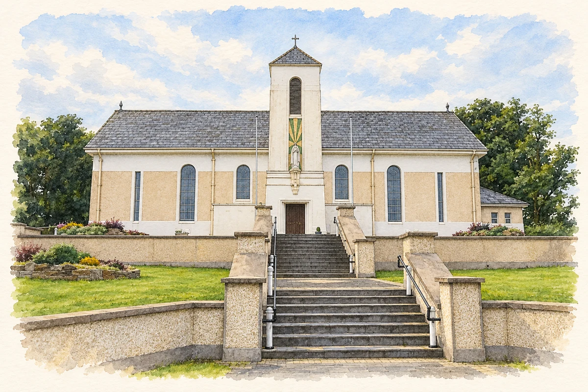
Samuel Lewis described Ballintogher in 1837 as a settlement of about forty thatched dwellings on the road between Dromahair and Collooney. He counted 201 inhabitants and recorded both a Church of Ireland parish church and a substantial Catholic chapel. Five fairs punctuated the year, and a constabulary station stood in the village. His account also identifies nearby Oldcastle as the residence of E. Loftus Neynoe, on the site of the earlier Kingsfort castle. This is a dated picture of a small local centre serving a wider farming district.[2]
A school serving two communities
Saint Teresa’s National School records a succession of educational buildings in the area. Ballintogher’s earlier school was erected in 1840, while Crossboy School dated from the 1870s. Both were replaced by the Kingsfort school, built in 1969 and opened in 1970. Following extension and refurbishment, that building was formally reopened on 25 October 2024. The school’s own history therefore links the village’s nineteenth-century classrooms with a shared twentieth-century institution and its recent adaptation.[3]
Birdlife between the hills and lake
Local ornithologist Martin Enright’s contribution to the Ballintogher Biodiversity Action Plan describes a landscape of drumlins, hedgerows, gardens and woodland beneath Slieve Deane and Killery mountain. He records whooper swans moving through nearby lakes in winter and warblers using the area in summer. Slish Wood and the shore of Lough Gill lie northwest of the village. The account makes the surrounding farmland and small gardens part of Ballintogher’s natural heritage, alongside the better-known wooded lakeshore.[4]
Both counts use the 2016 settlement boundary, allowing like-for-like comparison. CSO supplies the 2022 count on this older boundary for comparison only. The official 2022 Built Up Area has different boundaries.
View population figures
Ballintogher — Census 2016 settlement footprint — census population
Ballintogher, Sligo — Census town, CSO 2006 report
2002–2006: census town
182people · 2006
These are the historical areas published in the 2006 census report. Boundaries may differ between censuses and from modern settlements. Legal towns, environs and suburbs are shown separately; none has been combined into a modern settlement total.
View population figures
Ballintogher, Sligo — Census town, CSO 2006 report — census population
These figures use different area definitions. Read the boundary note before comparing them.
Ballintogher, Sligo
Published census settlement populations
331people · 2016
Settlement boundaries changed during this period. Differences may reflect boundary changes as well as population change. Where a 2011 legal-town-and-environs count is shown, it has not been recalculated onto the 2016 settlement boundary.
 placenames