These Irish name elements are associated with this record in the Logainm glossary.
An element’s translation is a clue, rather than a complete explanation of the name. Its form and meaning depend on local history and the full Irish name.
Recorded forms
Cúil Mhuine· Irish · main form · validated name
Collooney· English · main form
Place & story
People & connections
Teeling above Carricknagat
A statue of Bartholomew Teeling rises above the rock at Carricknagat near Collooney. Erected for the centenary of the 1798 rising, it commemorates his role with the French and Irish army. Teeling is remembered for overcoming a government gun position during the battle here. The high pedestal and figure turn a specific battlefield action into a prominent landscape memorial, placing the officer's name firmly in Collooney's public memory.[2]
A church within the milling complex
Archaeological work at the old graveyard in 2006 documented an unusual arrangement beside the Owenmore River. A medieval church and burial ground had become enclosed within a substantial nineteenth-century flour-milling complex. Mill stores stood against two sides of the ecclesiastical site. Proposed conversion of the stores prompted detailed survey and investigation. The buildings record successive claims on the same riverside ground, where a place of worship and burial became closely surrounded by industrial premises.[3]
A former mill at Bleachgreen
The former Camphill Woollen Mills building dates from around 1800. Its later use as a parish hall demonstrates another way that Collooney's industrial premises were adapted. The L-shaped, two-storey building retains a hipped slate roof, while later windows and an extension show changes in its working life. A round-headed entrance and fanlight give an identifiable focus to the rendered exterior. The building preserves part of the town's manufacturing landscape in a structure that continued to serve the community.[4]
Both counts use the 2016 settlement boundary, allowing like-for-like comparison. CSO supplies the 2022 count on this older boundary for comparison only. The official 2022 Built Up Area has different boundaries.
View population figures
Collooney — Census 2016 settlement footprint — census population
These are the historical areas published in the 2006 census report. Boundaries may differ between censuses and from modern settlements. Legal towns, environs and suburbs are shown separately; none has been combined into a modern settlement total.
View population figures
Collooney, Sligo — Census town, CSO 2006 report — census population
These are the historical areas published in the 1996 census report. Boundaries may differ between censuses and from modern settlements. Legal towns, environs and suburbs are shown separately; none has been combined into a modern settlement total.
View population figures
Collooney, Sligo — Census town, CSO 1996 report — census population
Figures cover the historical town area printed in the 1986 report. Boundaries may have changed between censuses. Legal town, environs and suburb totals remain separate and differ from modern settlement boundaries.
View population figures
Collooney, Sligo — Census town, CSO 1986 report — census population
These figures use different area definitions. Read the boundary note before comparing them.
Collooney, Sligo
Published census settlement populations
1,610people · 2016
Settlement boundaries changed during this period. Differences may reflect boundary changes as well as population change. Where a 2011 legal-town-and-environs count is shown, it has not been recalculated onto the 2016 settlement boundary.
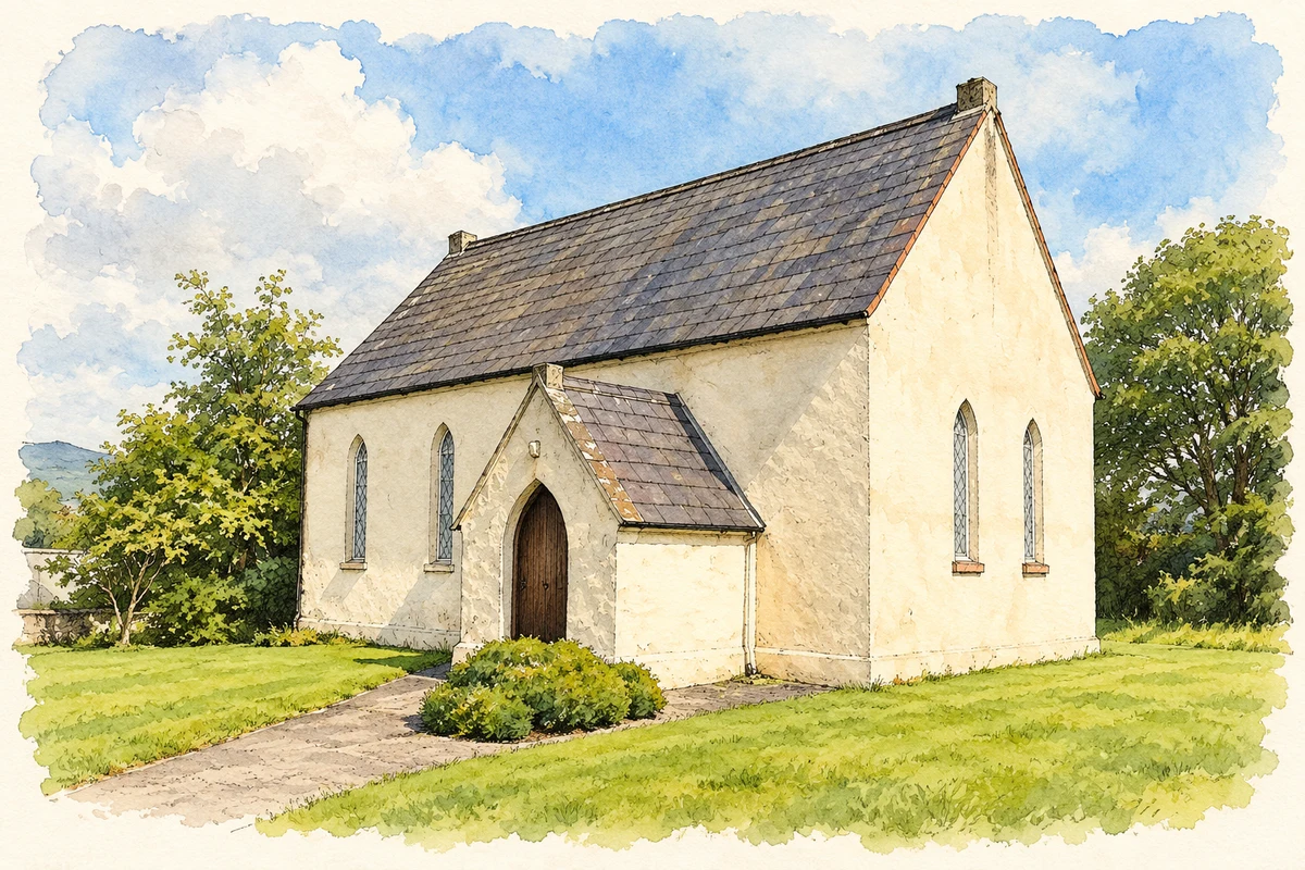
Collooney Methodist Church, County Sligo illustration: based on a Collooney Methodist Church by Anne Burgess. AI-assisted watercolour and ink adaptation; cream paper margins added, incidental clutter omitted and fine details simplified. Licence: CC BY-SA 2.0.
 placenames