Littleton’s surroundings connect nineteenth-century domestic architecture with industrial peat extraction and much older roads preserved in wet ground.
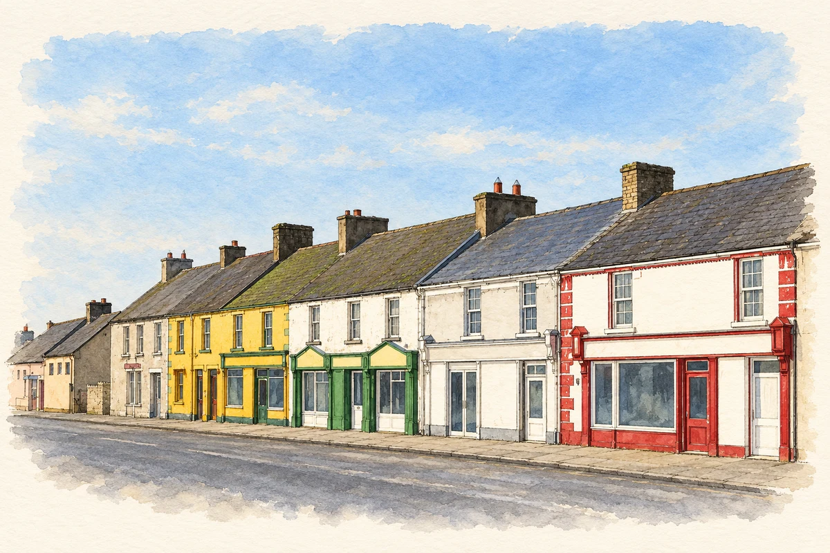
Reconstruction illustration of Littleton’s streetscape, based on a 2006 photograph.
⊕Recorded locationLittleton52.63900° N · 7.73636° WInteractive map supplied by OpenStreetMap.
These Irish name elements are associated with this record in the Logainm glossary.
An element’s translation is a clue, rather than a complete explanation of the name. Its form and meaning depend on local history and the full Irish name.
Recorded forms
An Baile Beag· Irish · main form · validated name
Littleton· English · main form
Place & story
A modest house dressed as a castle
Castle View, formerly Littleton Lodge, is a house at Bally Beg dated by the architectural inventory to about 1820. Its four-bay, two-storey body acquired Gothic details, including a crenellated curved tower at one corner and a matching blank façade at the other. The latter conceals a low addition. This picturesque treatment gives an otherwise modest house an elaborate frontage. The surviving outbuildings also retain the less theatrical, working side of the property.[2]
The industrial landscape outside the village
Bord na Móna’s 2018 rehabilitation plan places Littleton Bog about three kilometres from Littleton village. It describes manual sod-turf production in the 1940s, mechanisation during the 1950s and milled-peat production beginning in the 1970s. Peat supplied the Lanespark briquette factory, constructed in 1981. A narrow-gauge railway connected the bogs. The same plan records cutaway areas developing wetlands and vegetation after extraction, showing how industrial operations left both transport infrastructure and a changing mosaic of habitats.[3]
A sword between the trackway timbers
In 1990, National Museum archaeologists investigated a timber trackway at Littleton Bog, Longford Pass North, after a Bord na Móna worker discovered a Late Bronze Age sword. The report describes at least three trackways in that area. Excavation at the findspot revealed oak planks covered by birch logs, suggesting two construction phases. The sword lay among redeposited planks and appeared to have been placed there during rebuilding. Its circumstances therefore provide evidence about an ancient route across the bog, beyond the isolated discovery of a valuable object.[4]
Derrynaflan’s dry island
Nearby Derrynaflan occupies dry ground surrounded by bogland. Its surviving church includes a thirteenth-century chancel with carved details, while the earlier monastery is associated with the Céli Dé religious movement. Five liturgical objects were discovered here in 1980, including the celebrated silver chalice and a paten. The Office of Public Works identifies the hoard as now held by the National Museum of Ireland. The objects and the ruined church represent different periods in a religious landscape whose setting remains strikingly distinct from the village street.[5]
Both counts use the 2016 settlement boundary, allowing like-for-like comparison. CSO supplies the 2022 count on this older boundary for comparison only. The official 2022 Built Up Area has different boundaries.
View population figures
Littleton — Census 2016 settlement footprint — census population
Littleton, North Tipperary — Census town, CSO 2006 report
2002–2006: census town
463people · 2006
These are the historical areas published in the 2006 census report. Boundaries may differ between censuses and from modern settlements. Legal towns, environs and suburbs are shown separately; none has been combined into a modern settlement total.
View population figures
Littleton, North Tipperary — Census town, CSO 2006 report — census population
Littleton, North Tipperary — Census town, CSO 1996 report
1991–1996: census town
544people · 1996
These are the historical areas published in the 1996 census report. Boundaries may differ between censuses and from modern settlements. Legal towns, environs and suburbs are shown separately; none has been combined into a modern settlement total.
View population figures
Littleton, North Tipperary — Census town, CSO 1996 report — census population
Littleton, Tipperary — Census town, CSO 1986 report
1981–1986: census town
566people · 1986
Figures cover the historical town area printed in the 1986 report. Boundaries may have changed between censuses. Legal town, environs and suburb totals remain separate and differ from modern settlement boundaries.
View population figures
Littleton, Tipperary — Census town, CSO 1986 report — census population
These figures use different area definitions. Read the boundary note before comparing them.
Littleton, North Tipperary
Published census settlement populations
394people · 2016
Settlement boundaries changed during this period. Differences may reflect boundary changes as well as population change. Where a 2011 legal-town-and-environs count is shown, it has not been recalculated onto the 2016 settlement boundary.
 placenames