Kill in County Waterford emerged around a Catholic church in the early nineteenth century. Its school records and the construction of a larger church show how a village took shape beside the older parish landscape.
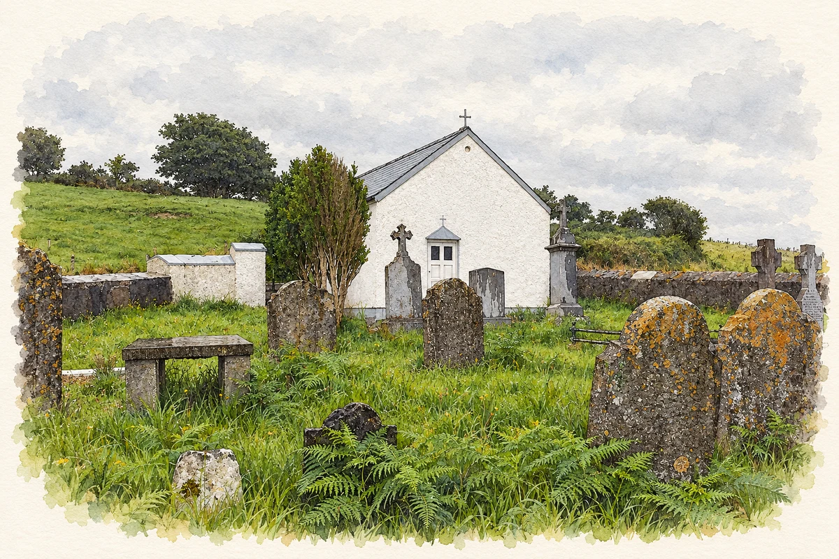
Illustration, Faugheen Chapel, near Kill, County Waterford
⊕Recorded locationKill52.17864° N · 7.33482° WInteractive map supplied by OpenStreetMap.
These Irish name elements are associated with this record in the Logainm glossary.
An element’s translation is a clue, rather than a complete explanation of the name. Its form and meaning depend on local history and the full Irish name.
Recorded forms
An Chill· Irish · main form · validated name
Kill· English · main form
Place & story
A new village on Gardenmorris land
Historian Des Cowman traces the emergence of Kill to the early 1800s, mainly in Gardenmorris townland. The older parish church at Kilbarrymeadon was already ruinous. The Power O'Shee family granted land for a Catholic church in 1800, and a church appears on the 1818 map. By the 1841 census, Kill was identified as a town with 338 inhabitants in sixty-two houses. The development therefore brought a recognisable village centre into a district that had previously consisted of dispersed settlements and estate land.[2]
Schools beside the church
A school supported by public subscription opened in the church grounds in 1827. Separate boys' and girls' teaching was recorded by 1833, and the school entered the national system. Its proposed curriculum included reading, writing, arithmetic and book-keeping, with grammar and more advanced measurement also listed. Cowman's research reveals a substantial gap between enrolment and attendance: in 1860,234 children were enrolled but average daily attendance was only eighty. The records give a detailed picture of educational provision and participation during the village's first decades.[2]
The larger church of 1874
Waterford County Museum's account identifies William Daly of Kill as the builder of the earlier church, erected in 1800 on land leased from John O'Shee for a shilling a year. A larger successor opened in 1874, designed by architect J. J. O'Callaghan and built by Mat Donoghue of Stradbally. Nicholas Power O'Shee provided the new site and donated£800 towards a total cost of£6,000. The foundation stone had been laid in 1870 by the bishop of Waterford. The project brought together estate patronage, parish fundraising, professional design and local building work to create the village's principal religious landmark.[3]
Both counts use the 2016 settlement boundary, allowing like-for-like comparison. CSO supplies the 2022 count on this older boundary for comparison only. The official 2022 Built Up Area has different boundaries.
View population figures
Kill — Census 2016 settlement footprint — census population
These are the historical areas published in the 2006 census report. Boundaries may differ between censuses and from modern settlements. Legal towns, environs and suburbs are shown separately; none has been combined into a modern settlement total.
View population figures
Kill, Waterford — Census town, CSO 2006 report — census population
These figures use different area definitions. Read the boundary note before comparing them.
Kill, Waterford
Published census settlement populations
271people · 2016
Settlement boundaries changed during this period. Differences may reflect boundary changes as well as population change. Where a 2011 legal-town-and-environs count is shown, it has not been recalculated onto the 2016 settlement boundary.
Faugheen Chapel and graveyard, near Kill, County Waterford illustration: based on a Faugheen Chapel by MunsterFan. AI-assisted watercolour and ink adaptation; cream paper margins added, incidental clutter omitted and fine details simplified. Licence: CC BY-SA 2.0.
 placenames