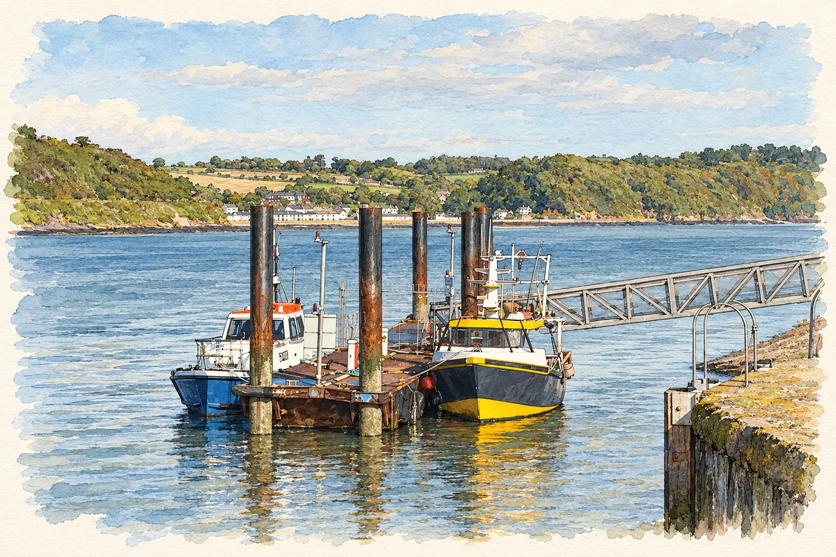
Passage East's place on Waterford Harbour brought ocean-going ships, Newfoundland workers and a fishing industry in which women's onshore labour was essential.
Illustration, Passage East Harbour, in 2018
⊕Recorded locationPassage East52.23328° N · 6.97572° WInteractive map supplied by OpenStreetMap.
A reliable full-name meaning has not been established here. The recorded Irish and English forms are given without an unsupported translation.
Recorded forms
An Pasáiste· Irish · main form · validated name
Passage East· English · main form
Place & story
An anchorage on the way to Newfoundland
Passage East developed as one of the harbour communities connected with Waterford's expanding maritime trade. Larger ships anchored here, and many people departed from the village to work in Newfoundland's cod fisheries. The wider port exported agricultural produce, including salted pork, beef and butter, to the Atlantic fisheries. Passage's role therefore extended beyond local fishing: its anchorage formed part of a route linking Waterford's farms and harbour workers with seasonal labour and food supplies across the ocean.[2]
The fish house and the herring workers
A fish house built at Passage East in 1901 cured herring and provided space for storing and selling other fish. Much of the work ashore was done by women. Skilled workers known as the Herring Lassies came from Scotland to prepare the catch for processing. Women also gathered cockles along the estuary and carried them to market. These occupations reveal the labour behind the boats and landing places, connecting the village waterfront with processing, transport and household incomes.[2]
The car ferry arrives
A contemporary RTÉ report recorded the introduction of the Passage East–Ballyhack car ferry in July 1982. The FBD Dunbrody carried twenty cars, replacing a long road journey around the estuary with a crossing of about four minutes. The service joined local business interests with FBD Insurance and was expected to benefit both commuters and visitors. It added vehicle transport to a route already used by a pedestrian ferry for centuries, giving this historic crossing a new role in everyday travel between Waterford and Wexford.[3]
Both counts use the 2016 settlement boundary, allowing like-for-like comparison. CSO supplies the 2022 count on this older boundary for comparison only. The official 2022 Built Up Area has different boundaries.
View population figures
Passage East — Census 2016 settlement footprint — census population
Passage East, Waterford — Census town, CSO 2006 report
2002–2006: census town
644people · 2006
These are the historical areas published in the 2006 census report. Boundaries may differ between censuses and from modern settlements. Legal towns, environs and suburbs are shown separately; none has been combined into a modern settlement total.
View population figures
Passage East, Waterford — Census town, CSO 2006 report — census population
Passage East, Waterford — Census town, CSO 1996 report
1991–1996: census town
573people · 1996
These are the historical areas published in the 1996 census report. Boundaries may differ between censuses and from modern settlements. Legal towns, environs and suburbs are shown separately; none has been combined into a modern settlement total.
View population figures
Passage East, Waterford — Census town, CSO 1996 report — census population
Passage East, Waterford — Census town, CSO 1986 report
1981–1986: census town
563people · 1986
Figures cover the historical town area printed in the 1986 report. Boundaries may have changed between censuses. Legal town, environs and suburb totals remain separate and differ from modern settlement boundaries.
View population figures
Passage East, Waterford — Census town, CSO 1986 report — census population
These figures use different area definitions. Read the boundary note before comparing them.
Passage East, Waterford
Published census settlement populations
827people · 2016
Settlement boundaries changed during this period. Differences may reflect boundary changes as well as population change. Where a 2011 legal-town-and-environs count is shown, it has not been recalculated onto the 2016 settlement boundary.
Passage East Harbour illustration: based on a Passage East Harbour 2018 09 12 by Andreas F. Borchert. AI-assisted watercolour and ink adaptation; cream paper margins added, incidental clutter omitted and fine details simplified. Licence: CC BY-SA 4.0.
 placenames