Kilnaleck's history includes regular cattle fairs and a short-lived attempt to mine coal. Its church and stone-built shops preserve the work of a growing nineteenth- and early twentieth-century village.
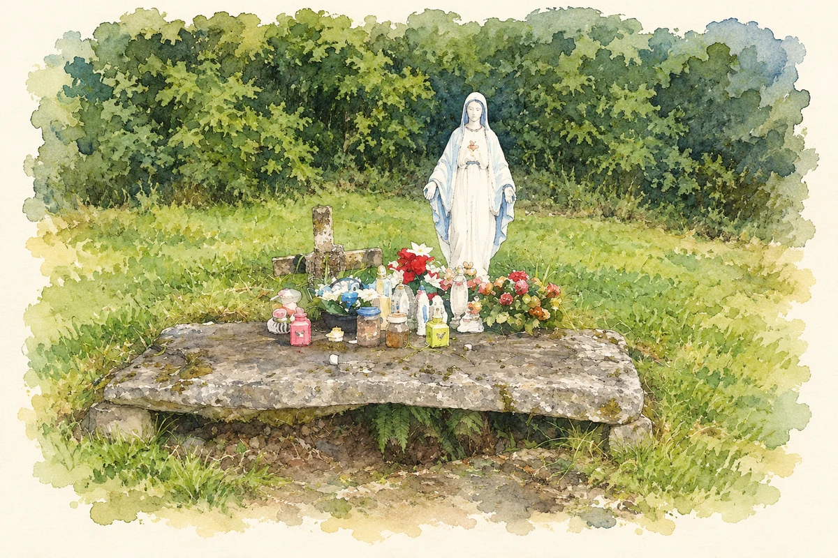
Illustration, devotional grave in Kill cemetery, near Kilnaleck, 2016 view
⊕Recorded locationKilnaleck53.86029° N · 7.31985° WInteractive map supplied by OpenStreetMap.
These Irish name elements are associated with this record in the Logainm glossary.
An element’s translation is a clue, rather than a complete explanation of the name. Its form and meaning depend on local history and the full Irish name.
Recorded forms
Cill na Leice· Irish · main form · validated name
Kilnaleck· English · main form
Place & story
A cattle-fair village
Samuel Lewis's 1837 account places Kilnaleck on the road between Ballyjamesduff and Ballinagh and records sixty-four houses and 347 inhabitants. Its cattle fairs took place eight times a year, with dates spread from February to December. A police station was another part of the village at that time. The recurring fairs made Kilnaleck a regular meeting point for the surrounding farming district.[2]
The coal venture of 1879
In 1879, local businessmen and a school headmaster attempted to develop coal deposits near Kilnaleck. The county council's historical account describes a brief mining boom, but the coal proved too deep and difficult to extract successfully. The mine closed. The episode gives an industrial dimension to a village whose recorded nineteenth-century trade was strongly associated with agriculture.[3]
St Patrick's church
Philip and Catherine McGivney donated the site for St Patrick's church, whose foundation stones were laid in 1882. The date survives on a plaque incorporated into a later porch. The Gothic Revival building includes a bellcote, pointed windows and smaller quatrefoil and lozenge-shaped openings. Inside, arched timber roof trusses rest on stone brackets. Changes in 1973 altered the orientation of the church, placing the altar along the northern wall; the building therefore records both its Victorian origins and later changes to worship.[4][5]
A shopfront's changing life
A substantial stone house in the village carries the date 1910, with a further inscription recording alteration in 1914. Its limestone walls have contrasting red-brick window and door surrounds, and the central entrance retains a fanlight. The building also housed a shop, although its historic shopfront had been replaced when the architectural inventory surveyed it in 2012. Combining a home and business under one roof, it preserves a familiar form of small-town commercial life.[6]
Both counts use the 2016 settlement boundary, allowing like-for-like comparison. CSO supplies the 2022 count on this older boundary for comparison only. The official 2022 Built Up Area has different boundaries.
View population figures
Kilnaleck — Census 2016 settlement footprint — census population
These are the historical areas published in the 2006 census report. Boundaries may differ between censuses and from modern settlements. Legal towns, environs and suburbs are shown separately; none has been combined into a modern settlement total.
View population figures
Kilnaleck, Cavan — Census town, CSO 2006 report — census population
These are the historical areas published in the 1996 census report. Boundaries may differ between censuses and from modern settlements. Legal towns, environs and suburbs are shown separately; none has been combined into a modern settlement total.
View population figures
Kilnaleck, Cavan — Census town, CSO 1996 report — census population
Figures cover the historical town area printed in the 1986 report. Boundaries may have changed between censuses. Legal town, environs and suburb totals remain separate and differ from modern settlement boundaries.
View population figures
Kilnaleck, Cavan — Census town, CSO 1986 report — census population
These figures use different area definitions. Read the boundary note before comparing them.
Kilnaleck, Cavan
Published census settlement populations
393people · 2016
Settlement boundaries changed during this period. Differences may reflect boundary changes as well as population change. Where a 2011 legal-town-and-environs count is shown, it has not been recalculated onto the 2016 settlement boundary.
Devotional grave in Kill cemetery, near Kilnaleck illustration: based on a Kill Graveyard near Killnaleck by louise price. AI-assisted watercolour and ink adaptation; cream paper margins added, incidental clutter omitted and fine details simplified. Licence: CC BY-SA 2.0.
 placenames