 placenames
Courtown Harbour
Cuan Bhaile na Cúirte
Courtown’s harbour helped create a seaside village even though its commercial ambitions were limited by sand and silt.
The name
These Irish name elements are associated with this record in the Logainm glossary.
An element’s translation is a clue, rather than a complete explanation of the name. Its form and meaning depend on local history and the full Irish name.
Recorded forms
- Cuan Bhaile na Cúirte · Irish · main form · validated name
- Courtown Harbour · English · main form
Place & story
A harbour that shaped a resort
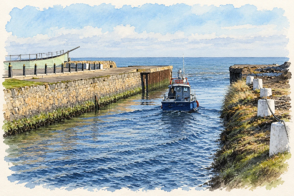
Construction of Courtown Harbour began in 1824, following designs associated with Alexander Nimmo. The present basin was completed in 1834–47 under engineer Francis Giles. Sand movement and silt from the Owenavorragh River hampered both construction and commercial use, preventing the harbour from achieving its intended trading role. Nevertheless, it supported fishing and encouraged summer visitors. The architectural inventory cites nineteenth-century testimony linking the arrival of bathers with new houses and the growth of Courtown village, an outcome different from the harbour’s original mercantile ambitions. [2]
A lifeboat service restored
Residents requested a lifeboat station in 1865, and a boathouse was constructed for £200. The first boat, Alfred and Ernest, had been funded by the RNLI’s Manchester branch. A slipway followed in 1885 and a new boathouse in 1911. The station closed in 1925, but an inshore service returned in 1990 when a D-class boat arrived for evaluation. The old boathouse was repurchased and refitted, reopening in May 1992. This renewed service reused an established maritime building rather than beginning on an entirely new site. [3]
The Earl’s trees beside the river
Courtown Wood retains elements of the fifth Earl of Courtown’s conifer collection. Coillte identifies Californian redwood, swamp cypress, Japanese cedar and cedar of Lebanon among the trees associated with that planting, alongside oak, ash and sycamore. English elms dating from the 1840s have largely succumbed to Dutch elm disease, leaving suckering remnants. The woodland beside the Owenavorragh therefore records both deliberate estate collecting and later ecological change, adding another historical layer to the landscape around the seaside settlement. [4]
Geographic information
- Place type
- Town
- County
- Wexford
- Barony
- Ballaghkeen North
- Civil parish
- Ardamine
- Coordinates
- 52.63291, -6.23619
- Logainm ID
- 52759 ↗
Sources & further reading
- Logainm.ie — Courtown Harbour. Place names and geographic record, licensed under CC BY 4.0.
- Courtown Harbour, register 15611016 · National Inventory of Architectural Heritage
- Courtown’s station history · Royal National Lifeboat Institution
- Courtown Wood: estate trees and woodland history · Coillte
- Entrance channel at Courtown Harbour illustration: based on a Courtown Harbour by kevin higgins. AI-assisted watercolour and ink adaptation; cream paper margins added, incidental clutter omitted and fine details simplified. Licence: CC BY-SA 2.0.
Name record retrieved 2026-10-25 · Source record modified 2025-01-10. How this page was prepared.