A reliable full-name meaning has not been established here. The recorded Irish and English forms are given without an unsupported translation.
Recorded forms
Colmán· Irish · main form · validated name
Arthurstown· English · main form
Place & story
A recently developed town
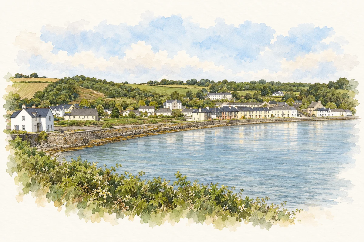
Lewis’s 1837 entry calls the settlement both Arthurstown and King’s Bay. He records 170 inhabitants in Saint James’s parish and attributes much of its recent building to Arthur, Lord Templemore.[2]
Imports and farm produce
Arthurstown imported coal and culm from South Wales and slates from Bangor. Corn, pigs, butter, eggs, honey and poultry left for Waterford, linking the small waterfront with surrounding farms and regional markets.[2]
People & connections
Arthur Chichester’s harbour project
Arthur Chichester, first Baron Templemore, gave the developing settlement its name and helped fund its pier. The National Inventory of Architectural Heritage dates the design to 1829 and identifies a cranked L-shaped plan, battered sandstone walls and cut-stone mooring posts. Its appraisal connects the structure with the Fishery Board contribution and Templemore’s larger share of the expense. This was an investment in fishing and local commerce as well as an architectural feature of King’s Bay.[3]
The older monastery nearby
Nearby Dunbrody Abbey belongs to a much earlier phase of south Wexford history. Heritage Ireland records its establishment in 1182 as a daughter house of St Mary’s Abbey, Dublin, under Hervey de Montmorency’s patronage. It was dissolved in the sixteenth century and later used as a residence.[4]
Both counts use the 2016 settlement boundary, allowing like-for-like comparison. CSO supplies the 2022 count on this older boundary for comparison only. The official 2022 Built Up Area has different boundaries.
View population figures
Arthurstown — Census 2016 settlement footprint — census population
These figures use different area definitions. Read the boundary note before comparing them.
Arthurstown, Wexford
Published census settlement populations
121people · 2016
Settlement boundaries changed during this period. Differences may reflect boundary changes as well as population change. Where a 2011 legal-town-and-environs count is shown, it has not been recalculated onto the 2016 settlement boundary.
King's Bay and Arthurstown waterfront illustration: based on a reference by Humphrey Bolton. AI watercolour/ink adaptation; clutter removed, margins added and fine details simplified. Licence: CC BY-SA 2.0.
 placenames