Kilmore village in south Wexford is a centre of a distinctive Christmas singing tradition. Its church, nearby convent and older farming history give that tradition a tangible local setting.
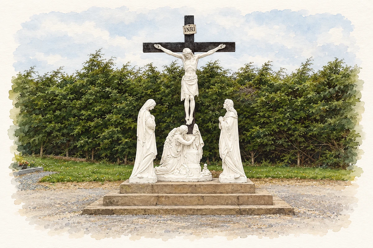
Illustration, Calvary in Saint Mary's cemetery, Kilmore, County Wexford
⊕Recorded locationKilmore52.20319° N · 6.55043° WInteractive map supplied by OpenStreetMap.
These Irish name elements are associated with this record in the Logainm glossary.
An element’s translation is a clue, rather than a complete explanation of the name. Its form and meaning depend on local history and the full Irish name.
Recorded forms
An Chill Mhór· Irish · main form · validated name
Kilmore· English · main form
Place & story
Folklore & tradition
The Christmas singers
Kilmore's carol tradition is associated with parish priest Peter Devereux, who introduced the songs around 1751. The library heritage account describes six men singing in two groups of three, with alternate groups taking successive stanzas. A member of the Devereux family has long been included among the singers. The repertoire combines carols associated with William Devereux and Bishop Luke Waddinge, performed on particular days during the Christmas season. Schoolmaster Richard O'Neill copied the songs into a leather-bound manuscript book. Family transmission, handwritten copies and the calendar of performances have all helped sustain this local religious custom.[2]
William Day's church
The village church was built in 1798–1802 to a design by William Day of Gallagh. The present building incorporates later extensions, including work in 1898 and 1935. Its tower's curved cupola is a particularly recognisable feature above the street. Inside, an 1884 stained-glass east window bears the signature of Lucien Léopold Lobin of Tours. These different phases connect the early chapel with the larger church in which later generations heard the carols, while the nave and transepts show how the congregation's building grew.[3]
Seaweed on the fields
Samuel Lewis's 1837 account describes the wider Kilmore parish as predominantly cultivated, with some good grazing land. Farmers used seaweed gathered at spring tides and after storms to dress the soil. The nearby Ballyteigue sand barrier supported rabbits, while the enclosed water held wildfowl. Lewis also recorded building stone at Sarcilla and limestone at Ballycross which had not yet been quarried. His description places the village within an agricultural landscape whose work depended partly on materials carried in by the sea.[4]
The convent beside the church
The neighbouring Convent of Saint John of God was designed in 1905 by William Henry Byrne and Son and opened in 1908. Its central projecting gable, small roof gablets and granite details distinguish it from the older church. The convent closed in 1987 and was renovated in 1999 for another use. The two buildings still explain the scale of the village's former religious institutions: an early nineteenth-century church beside an ambitious convent completed a century later.[5]
Both counts use the 2016 settlement boundary, allowing like-for-like comparison. CSO supplies the 2022 count on this older boundary for comparison only. The official 2022 Built Up Area has different boundaries.
View population figures
Kilmore — Census 2016 settlement footprint — census population
These figures use different area definitions. Read the boundary note before comparing them.
Kilmore, Wexford
Published census settlement populations
132people · 2016
Settlement boundaries changed during this period. Differences may reflect boundary changes as well as population change. Where a 2011 legal-town-and-environs count is shown, it has not been recalculated onto the 2016 settlement boundary.
Calvary in Saint Mary's cemetery, Kilmore illustration: based on a Calvary in St Mary's cemetery, Kilmore by David Hawgood. AI-assisted watercolour and ink adaptation; cream paper margins added, incidental clutter omitted and fine details simplified. Licence: CC BY-SA 2.0.
 placenames