These Irish name elements are associated with this record in the Logainm glossary.
An element’s translation is a clue, rather than a complete explanation of the name. Its form and meaning depend on local history and the full Irish name.
Recorded forms
Ros Láir· Irish · main form · validated name
Rosslare· English · main form
Place & story
The railway brings the resort closer
Rosslare Strand is the coastal village, distinct from nearby Rosslare Harbour and its ferry port. Wexford County Council links its development as a holiday destination with the railway's arrival in June 1882. The surviving station building dates from 1913, replacing the earlier premises. Its hipped slate roofs, timber sash windows and associated signal box retain the character of a small railway station from that period. The railway connected an established fishing locality with a growing market for seaside holidays.[2][3]
The fort beyond the sandspit
A long spit once extended north from Rosslare almost to the Raven, leaving a narrow entrance to Wexford Harbour. Rosslare Fort stood at its outer end, guarding that approach. The county development plan records the decisive breach of the spit during the winter storms of 1924–25, followed by erosion and abandonment of the fort. The lost settlement should not be confused with the present village centre. Its history explains why older maps can show a much more continuous strip of land than the coast that survives.[2]
People & connections
William and Mary Kelly’s tearooms
Kelly's began as tearooms opened by William J. and Mary Kelly in 1895. The family's own history says William, an accountant, sought building permission in 1893 on land supplied by Mary's family. Their son Nicholas later ran the business and used his interests in photography and film to show guests images of seabirds on the Saltee Islands. Subsequent generations expanded the accommodation and season. These beginnings place a familiar resort business within the village's broader transformation from a coastal settlement into a holiday destination.[4]
Both counts use the 2016 settlement boundary, allowing like-for-like comparison. CSO supplies the 2022 count on this older boundary for comparison only. The official 2022 Built Up Area has different boundaries.
View population figures
Rosslare — Census 2016 settlement footprint — census population
These are the historical areas published in the 2006 census report. Boundaries may differ between censuses and from modern settlements. Legal towns, environs and suburbs are shown separately; none has been combined into a modern settlement total.
View population figures
Rosslare, Wexford — Census town, CSO 2006 report — census population
These are the historical areas published in the 1996 census report. Boundaries may differ between censuses and from modern settlements. Legal towns, environs and suburbs are shown separately; none has been combined into a modern settlement total.
View population figures
Rosslare, Wexford — Census town, CSO 1996 report — census population
Figures cover the historical town area printed in the 1986 report. Boundaries may have changed between censuses. Legal town, environs and suburb totals remain separate and differ from modern settlement boundaries.
View population figures
Rosslare, Wexford — Census town, CSO 1986 report — census population
These figures use different area definitions. Read the boundary note before comparing them.
Rosslare, Wexford
Published census settlement populations
1,620people · 2016
Settlement boundaries changed during this period. Differences may reflect boundary changes as well as population change. Where a 2011 legal-town-and-environs count is shown, it has not been recalculated onto the 2016 settlement boundary.
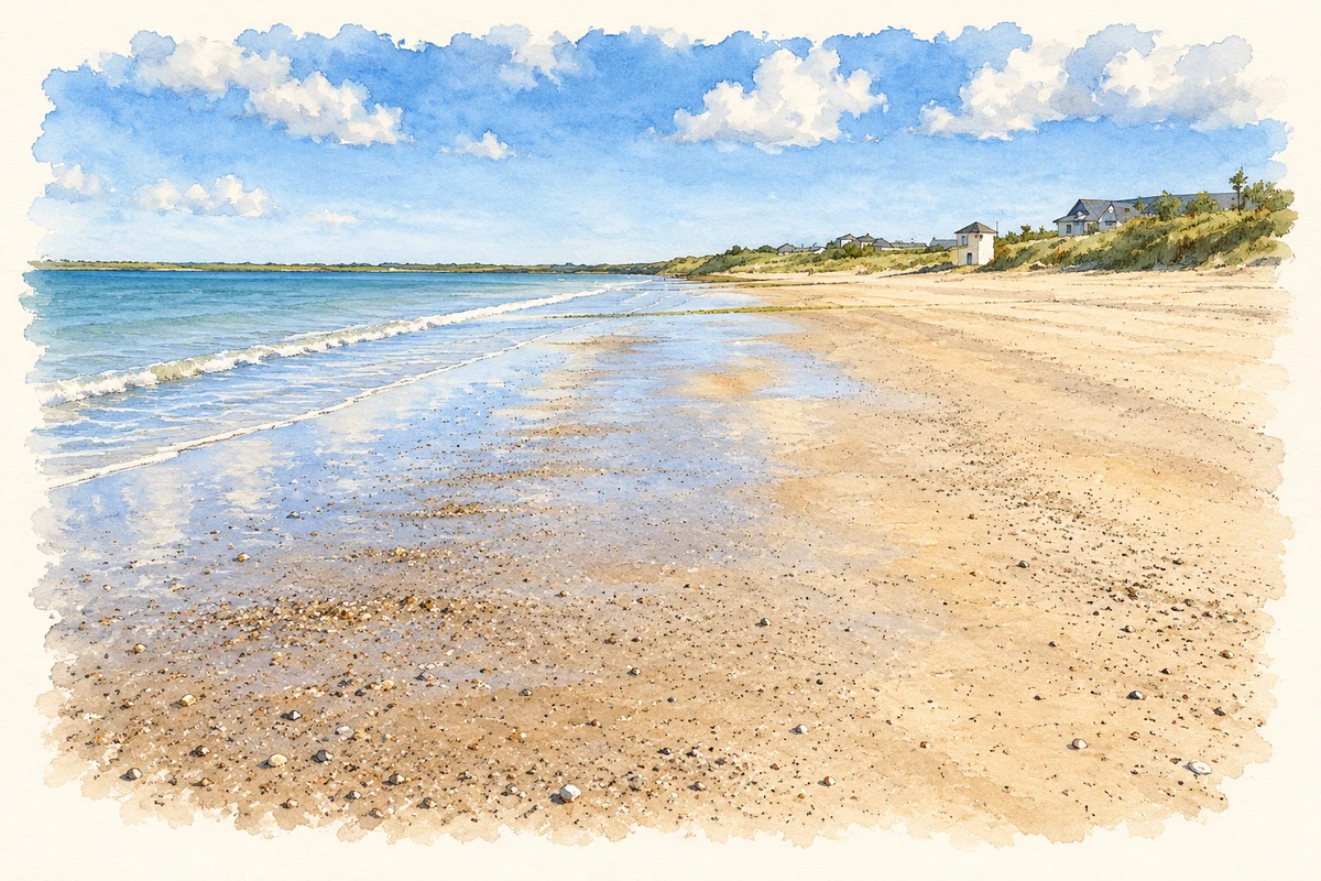
Rosslare Strand beach, County Wexford illustration: based on a Rosslare Beach - Looking south down the beach by Chris Gorringe. AI-assisted watercolour and ink adaptation; cream paper margins added, incidental clutter omitted and fine details simplified. Licence: CC BY-SA 2.0.
 placenames