Kilrane’s history reaches beyond the neighbouring harbour settlement, with a nineteenth-century church and a schoolteacher’s manuscript preserving distinctive evidence of south Wexford life.
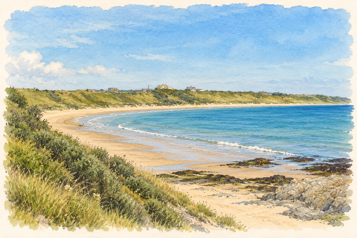
Illustration, St Helen's Bay beach, near Kilrane
⊕Recorded locationKilrane52.23774° N · 6.35183° WInteractive map supplied by OpenStreetMap.
These Irish name elements are associated with this record in the Logainm glossary.
An element’s translation is a clue, rather than a complete explanation of the name. Its form and meaning depend on local history and the full Irish name.
Recorded forms
Cill Ruáin· Irish · main form · validated name
Kilrane· English · main form
Place & story
A village before the harbour settlement
Wexford County Council distinguishes Kilrane as the older of the two adjoining settlements. Maps from around 1840 show a small cluster of buildings with a church and school; later maps add a post office and forge. Samuel Lewis's 1837 account describes the wider parish's farming and fishing economy, including the use of seaweed as fertiliser and seasonal fishing near the Tuskar rock. Those parish-wide activities provide context for the village without treating every coastal workplace or inhabitant as part of the built-up settlement itself.[2][3]
Saint Ruane’s church
Saint Ruane's Catholic Church was built in 1832–36 under the parish priest Walter Rowe. Its compact rectangular form belongs to the period immediately after Catholic emancipation. An enlargement in 1918–19 added another phase, while the bell carries the date 1918. The architectural inventory draws attention to the granite window details, bellcote, gallery and exposed timber roof. These features preserve the workmanship of a small village church whose interior and exterior continued to change as the needs and practices of its congregation evolved.[4]
People & connections
William O’Neill and the local dialect
The National Library holds a manuscript by William O'Neill of Kilrane describing the parishes of Forth and Bargy and including examples of their distinctive English dialect, commonly called Yola. O'Neill was principal of Tenacre School, south of Kilrane, and sent the material to Joseph Henry Lloyd in 1886. The catalogue identifies songs and anecdotes alongside the topographical descriptions, with annotations by Seosamh Laoide. Held as MS 10,674, it is a specific archival lead for the language and local knowledge recorded in this corner of Wexford.[5]
Both counts use the 2016 settlement boundary, allowing like-for-like comparison. CSO supplies the 2022 count on this older boundary for comparison only. The official 2022 Built Up Area has different boundaries.
View population figures
Kilrane — Census 2016 settlement footprint — census population
These are the historical areas published in the 2006 census report. Boundaries may differ between censuses and from modern settlements. Legal towns, environs and suburbs are shown separately; none has been combined into a modern settlement total.
View population figures
Kilrane, Wexford — Census town, CSO 2006 report — census population
These are the historical areas published in the 1996 census report. Boundaries may differ between censuses and from modern settlements. Legal towns, environs and suburbs are shown separately; none has been combined into a modern settlement total.
View population figures
Kilrane, Wexford — Census town, CSO 1996 report — census population
Figures cover the historical town area printed in the 1986 report. Boundaries may have changed between censuses. Legal town, environs and suburb totals remain separate and differ from modern settlement boundaries.
View population figures
Kilrane, Wexford — Census town, CSO 1986 report — census population
These figures use different area definitions. Read the boundary note before comparing them.
Kilrane, Wexford
Published census settlement populations
647people · 2016
Settlement boundaries changed during this period. Differences may reflect boundary changes as well as population change. Where a 2011 legal-town-and-environs count is shown, it has not been recalculated onto the 2016 settlement boundary.
St Helen's Bay beach, near Kilrane illustration: based on a St. Helen's Beach, County Wexford by Skellig2008. AI-assisted watercolour and ink adaptation; cream paper margins added, incidental clutter omitted and fine details simplified. Licence: CC BY 2.0; adapted illustration.
 placenames