These Irish name elements are associated with this record in the Logainm glossary.
An element’s translation is a clue, rather than a complete explanation of the name. Its form and meaning depend on local history and the full Irish name.
Recorded forms
Cill Pheadair· Irish · main form · non-validated name
Kilpedder· English · main form
Place & story
An inn on the coach road
The Rathdown heritage account of the old coach route describes an early nineteenth-century shift towards the road through the Glen of the Downs. Coaches climbed towards the Grove Bar before continuing to Kilpedder, where the Kilpedder Inn served the route, and then through Newtownmountkennedy towards Wexford. Samuel Lewis's 1837 entry records a village of eleven dwellings and seventy-two inhabitants, with petty sessions held every three weeks. These accounts describe a small settlement whose importance included transport and local justice, rather than population alone.[2][3]
Archaeology beneath the interchange
Archaeologist Judith Carroll's report on the 2006 Kilpedder interchange works records monitoring across several neighbouring townlands. The route affected part of the recorded perimeter of Kilmacberne, a medieval borough interpreted as probably an ecclesiastical manor and thought to have been abandoned in the fourteenth century. Trial work identified seven archaeological sites, including burnt mounds and pits. The report is evidence for activity in the surrounding landscape, rather than proof that every discovered feature belonged to the same settlement or period. It also preserves information that modern road construction brought to light.[4]
The wooded valley nearby
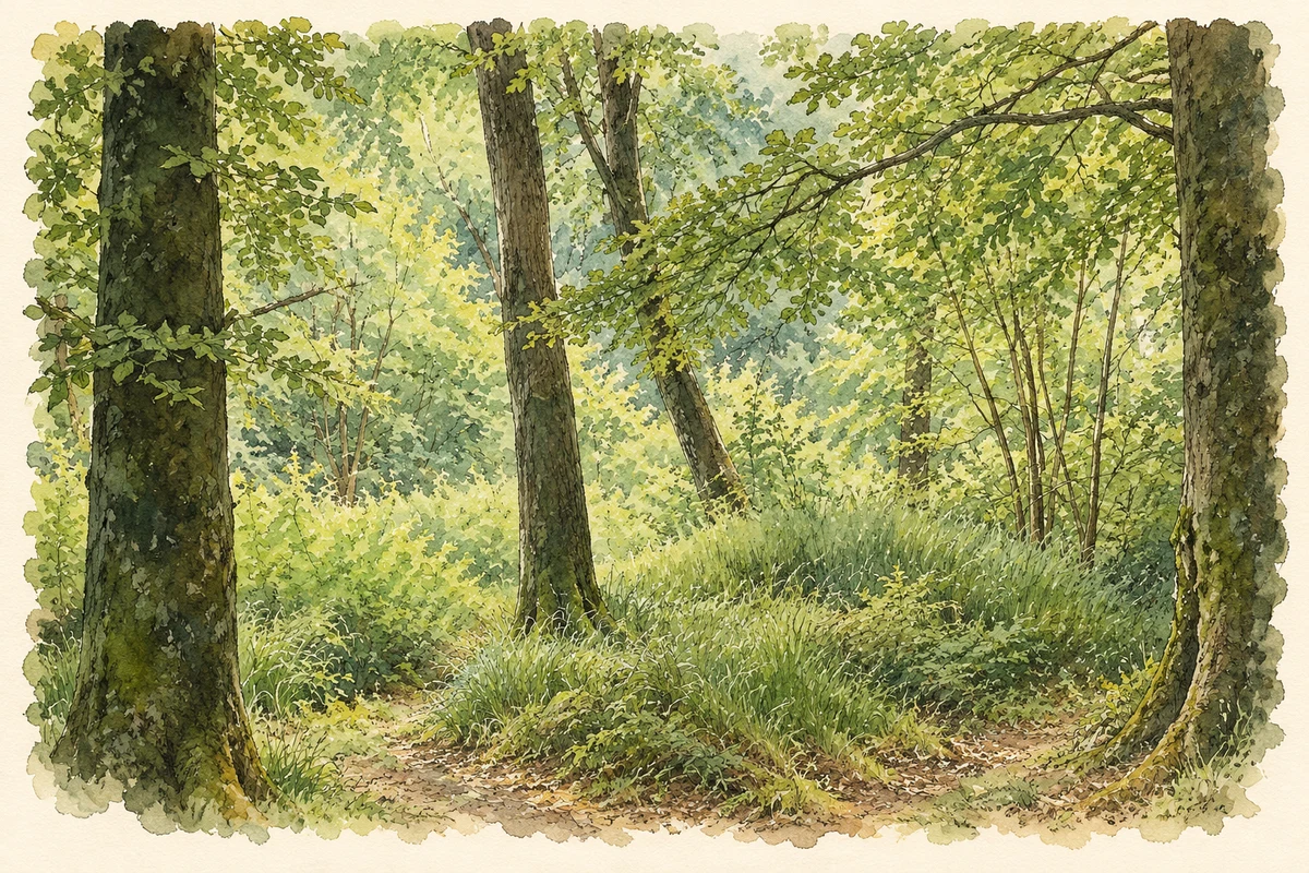
The Glen of the Downs contains sessile-oak woodland in a glacial overflow channel, with quartzite beneath relatively dry soils. The National Parks and Wildlife Service identifies the woodland as the principal conservation interest of the site. In December 2025 it announced the purchase of forty hectares adjoining the reserve, with plans to convert commercial forestry gradually into native woodland. That project extends the history of the landscape beyond its use as a transport corridor. Beside the busy road, woodland management now aims to retain and enlarge a habitat characteristic of this part of Wicklow.[5][6]
Both counts use the 2016 settlement boundary, allowing like-for-like comparison. CSO supplies the 2022 count on this older boundary for comparison only. The official 2022 Built Up Area has different boundaries.
View population figures
Kilpedder — Census 2016 settlement footprint — census population
These are the historical areas published in the 2006 census report. Boundaries may differ between censuses and from modern settlements. Legal towns, environs and suburbs are shown separately; none has been combined into a modern settlement total.
View population figures
Kilpedder, Wicklow — Census town, CSO 2006 report — census population
These are the historical areas published in the 1996 census report. Boundaries may differ between censuses and from modern settlements. Legal towns, environs and suburbs are shown separately; none has been combined into a modern settlement total.
View population figures
Kilpedder, Wicklow — Census town, CSO 1996 report — census population
Figures cover the historical town area printed in the 1986 report. Boundaries may have changed between censuses. Legal town, environs and suburb totals remain separate and differ from modern settlement boundaries.
View population figures
Kilpedder, Wicklow — Census town, CSO 1986 report — census population
These figures use different area definitions. Read the boundary note before comparing them.
Kilpedder, Wicklow
Published census settlement populations
1,255people · 2016
Settlement boundaries changed during this period. Differences may reflect boundary changes as well as population change. Where a 2011 legal-town-and-environs count is shown, it has not been recalculated onto the 2016 settlement boundary.
Glen of the Downs woodland, near Kilpedder illustration: based on a Glen of the Downs greenery.jpg by Camcool11. AI-assisted watercolour and ink adaptation; cream paper margins added, incidental clutter omitted and fine details simplified. Licence: CC BY-SA 4.0.
 placenames