 placenames
Derryanvil
Doire Chanabhail
Derryanvil appears in Methodist records as a place of outdoor preaching, circuit gatherings and nineteenth-century chapel expansion.
The name
These Irish name elements are associated with this record in the Logainm glossary.
An element’s translation is a clue, rather than a complete explanation of the name. Its form and meaning depend on local history and the full Irish name.
Recorded forms
- Doire Chanabhail · Irish · main form · validated name
- Derryanvil · English · main form
- Derryanville · English · main form · local name
Place & story
John Wesley in an orchard
John Wesley visited Derryanvil on 15 June 1785, travelling from the Tandragee area. His journal describes a small settlement surrounded by bogland, where he lodged in a cottage. At about eleven he preached to a large gathering in an orchard before continuing to the Grange that evening. The entry provides a precise early record of the village's place on Wesley's Irish preaching circuit. [2]
Circuit meetings in 1845
Charles Henry Crookshank's history of Irish Methodism preserves William Pattyson's report of religious activity in 1845. Pattyson, a Primitive Wesleyan minister, included Derryanvil among the circuit's quarterly meeting places, alongside Tandragee and Portadown. His account describes prayer meetings and increased participation across that wider circuit. [3]
An enlarged chapel after the revival
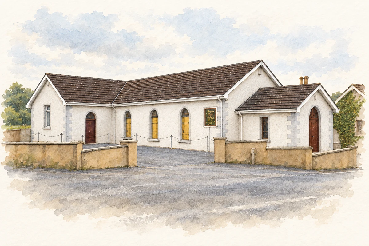
Crookshank also records the building changes associated with the 1859 religious revival around Portadown. Primitive Wesleyans enlarged their existing chapel at Derryanvil while constructing a new one at Derryall. This distinguishes Derryanvil's established meeting place from neighbouring foundations and shows how the revival affected the physical provision for worship. [4]
Geographic information
- Place type
- Population centre
- County
- Armagh
- Barony
- Oneilland West
- Civil parish
- Drumcree
- Coordinates
- 54.45138, -6.44269 (approximate)
- Logainm ID
- 56594 ↗
Sources & further reading
- Logainm.ie — Derryanvil. Place names and geographic record, licensed under CC BY 4.0.
- Journal of John Wesley,15June1785 · John Wesley,reproduced by Northwest Nazarene University,Wesley Center
- History of Methodism in Ireland,VolumeIII,p358,extract1845 · Charles Henry Crookshank,reproduced by UK Wells
- History of Methodism in Ireland,VolumeIII,p517,Portadownrevival1859 · Charles Henry Crookshank,reproduced by UK Wells
- Derryanvil Methodist Church illustration: based on a Derryanvil Methodist Church by P Flannagan. AI-assisted watercolour and ink adaptation; cream paper margins added, incidental clutter omitted and fine details simplified. Licence: CC BY-SA 2.0.
Name record retrieved 2026-10-25 · Source record modified 2021-12-20. How this page was prepared.