 placenames
Ballyeaston
Baile Uistín
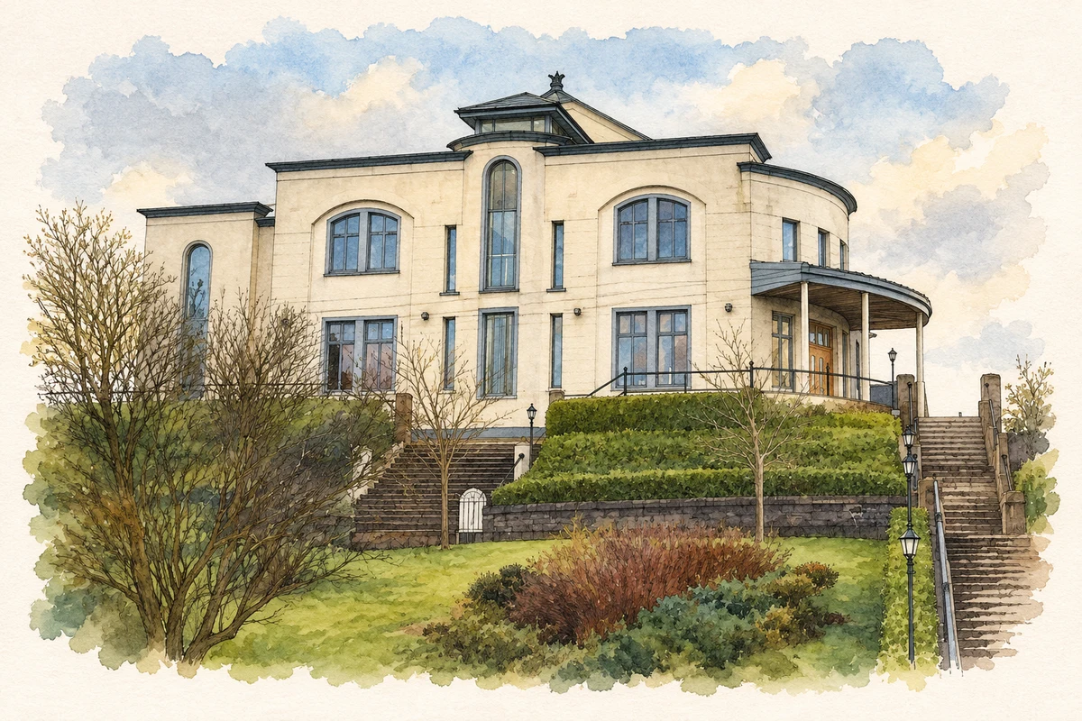
Ballyeaston developed at a meeting of roads near Ballyclare. Its history includes several Presbyterian traditions, a village church landscape and buildings repeatedly adapted by successive congregations.
The name
These Irish name elements are associated with this record in the Logainm glossary.
An element’s translation is a clue, rather than a complete explanation of the name. Its form and meaning depend on local history and the full Irish name.
Recorded forms
- Baile Uistín · Irish · main form · validated name
- Ballyeaston · English · main form
Place & story
A crossroads village in 1837
Samuel Lewis described Ballyeaston as a village at the junction of several roads, with sixty-one houses recorded in 1831. His wider district parish combined the older parishes of Ballycor and Rashee, so its population figure included Ballyclare and Doagh rather than the village alone. The account records a Church of Ireland church erected in 1786 and several different Presbyterian meeting places. It also describes both supported schools and fee-paying schools, showing the variety of religious and educational provision in the surrounding district. [2]
The foundation stone of Second Ballyeaston
Second Ballyeaston Presbyterian Church retains an inscription recording the laying of its first stone by the Reverend William Holmes on 9 June 1787. The congregation had previously met in Rashee. Holmes had been ordained in 1768, and the official historic-building record associates him with the formation and training of the Ballyeaston Yeomanry during the 1798 rebellion. Their drill ground later became the site of the manse, explaining the locally recorded name Parade Manse. [3]
A church altered by its congregation
The church’s present appearance reflects substantial rebuilding as well as its eighteenth-century origins. A second inscription records renovation in 1903, and the building survey identifies further changes in its fittings and stained glass. The rectangular body has round-headed windows, while the entrance tower carries Italianate detailing. Nineteenth-century pews survive inside. This mixture of periods gives the building its particular character: an early meeting house reshaped through later investment in worship, accommodation and decoration. [3]
Geographic information
- Place type
- Population centre
- County
- Antrim
- Barony
- Antrim Upper
- Civil parish
- Ballycor
- Coordinates
- 54.76828, -5.99539 (approximate)
- Logainm ID
- 61497 ↗
Sources & further reading
- Logainm.ie — Ballyeaston. Place names and geographic record, licensed under CC BY 4.0.
- Ballyeaston: A Topographical Dictionary of Ireland, 1837 · Samuel Lewis
- Second Presbyterian Church, Ballyeaston, HB21/04/004, surveyed 15 October 2008 · Department for Communities, Historic Buildings Database
- First Ballyeaston Presbyterian Church, County Antrim illustration: based on a 1st Ballyeaston Presbyterian Church by Puffer. AI-assisted watercolour and ink adaptation; cream paper margins added, incidental clutter omitted and fine details simplified. Licence: CC BY-SA 2.0.
Name record retrieved 2026-10-25 · Source record modified 2021-05-26. How this page was prepared.