 placenames
Malone Upper
Maigh Lón Uachtair
Ballydrain House, now Malone Golf Club’s clubhouse, records a major change in the use of a local country estate.
The name
These Irish name elements are associated with this record in the Logainm glossary.
An element’s translation is a clue, rather than a complete explanation of the name. Its form and meaning depend on local history and the full Irish name.
Recorded forms
- Maigh Lón Uachtair · Irish · main form · validated name
- Malone Upper · English · main form
Place & story
A house rebuilt and altered
Eileen Black’s research for Lisburn Historical Society traces Ballydrain’s purchase by Hugh Montgomery in 1834. A new Tudor Revival house was still being built in 1837 and was complete by 1843. After Thomas Montgomery inherited the estate, alterations changed its entrances and garden front. Black identifies a signed 1876 plan by William Henry Lynn as evidence for that work. [2]
From private residence to clubhouse
Malone Golf Club bought the estate in 1960 after the house had stood empty for several years. Golf began on the course on 2 June 1962, and the house formally opened as the clubhouse on 19 September. The change brought substantial alterations to the grounds: the flower garden became a car park, while the walled garden accommodated tennis courts and a bowling green. [2]
Geographic information
- Place type
- Population centre
- County
- Antrim
- Barony
- Belfast Upper
- Civil parish
- Shankill
- Coordinates
- 54.53432, -5.97597 (approximate)
- Logainm ID
- 61717 ↗
Sources & further reading
- Logainm.ie — Malone Upper. Place names and geographic record, licensed under CC BY 4.0.
- Ballydrain, Dunmurry: an estate through the ages, Lisburn Historical Society Journal 5 (1984), pages 17–28 · Eileen Black
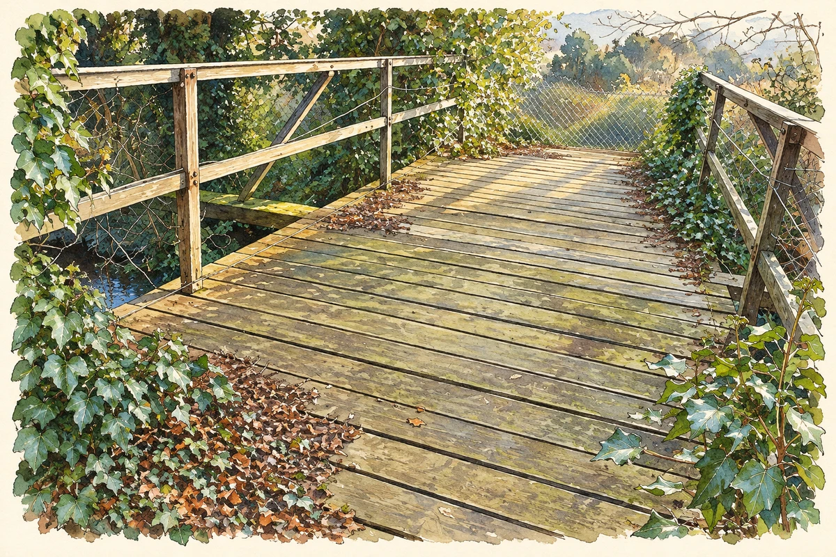
- The closed footbridge over the disused Lagan Navigation near Malone Golf Club, as photographed in December 2007 illustration: based on a Old footbridge, disused Lagan Navigation (1) by Albert Bridge. AI-assisted watercolour and ink adaptation; cream paper margins added, incidental clutter omitted and fine details simplified. Licence: CC BY-SA 2.0.
Name record retrieved 2026-10-25 · Source record modified 2021-05-26. How this page was prepared.