 placenames
Ballintoy
Baile an Tuaighe
Ballintoy’s coastal landmarks record an industrial harbour, a church exposed to Atlantic weather and a community uncovering its older landscape.
The name
These Irish name elements are associated with this record in the Logainm glossary.
An element’s translation is a clue, rather than a complete explanation of the name. Its form and meaning depend on local history and the full Irish name.
Recorded forms
- Baile an Tuaighe · Irish · main form · validated name
- Ballintoy · English · main form
Place & story
A harbour built for quarry exports
The present harbour developed around James Francis McKennan’s limestone business in 1860. He purchased foreshore rights from the Crown Estate after establishing limekilns and a tramway serving the quarry. A sheltered loading place allowed larger vessels to carry stone and burnt lime, while a new road connected the works with Ballintoy Church. The surviving harbour therefore grew from the needs of a quarrying enterprise as well as the older fishing activity along this coast. [2]
Fishing boats and a disputed entrance
Industrial control of the harbour brought conflict with fishermen. In 1880, the Eglinton Chemical Company installed a lockable boom to prevent a rival quarry exporting stone setts. It also obstructed fishing boats. Complaints to the Board of Trade and Fisheries Board led to the boom’s removal in January 1881, although access disputes continued. By 1907, the harbour served dozens of fishing boats but needed repairs and dredging; fishermen pressed Antrim County Council to acquire it. [2]
The church that lost its spire
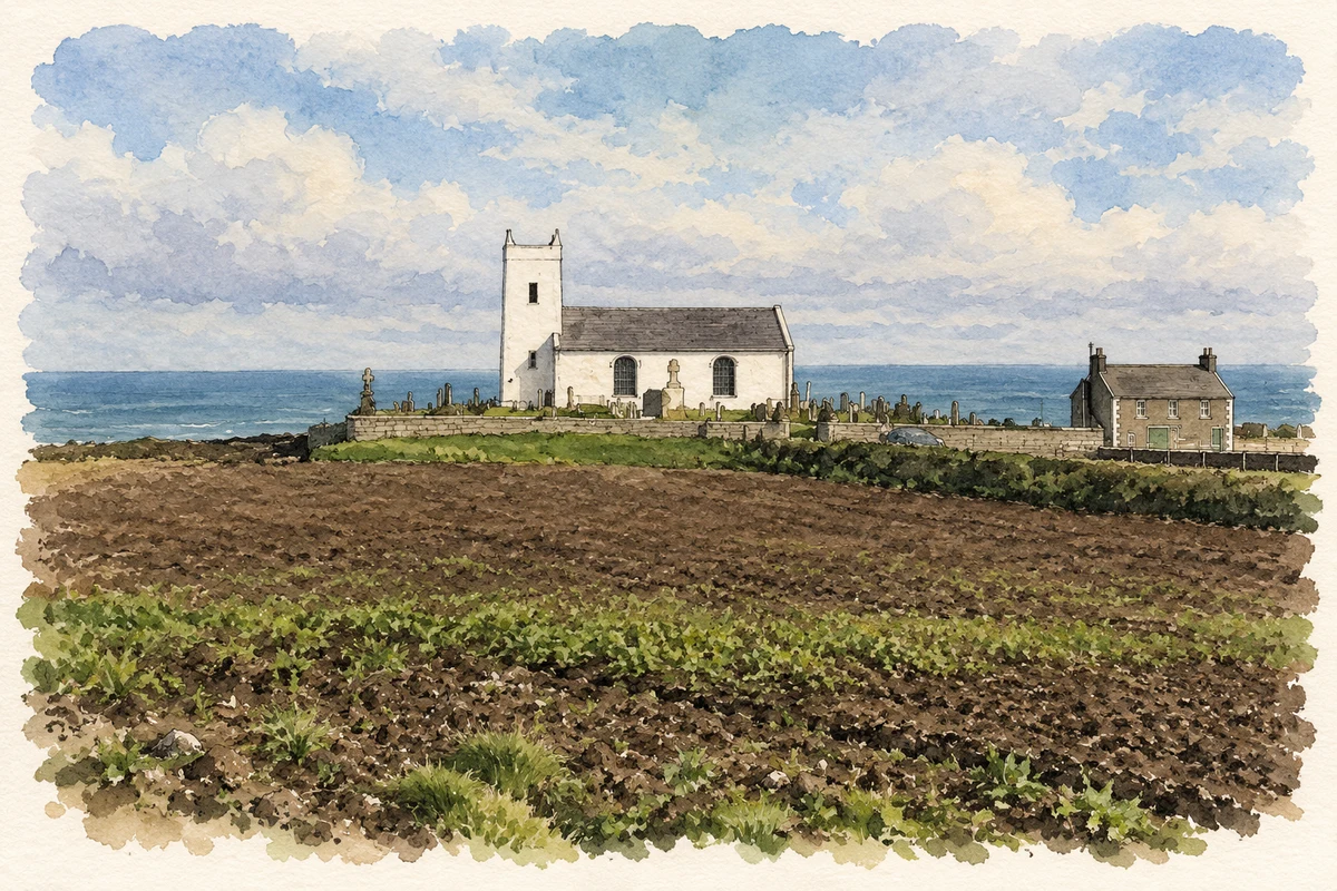
Ballintoy Parish Church was erected in 1813 during Robert Traill’s incumbency, replacing an earlier church on the site. Its tower carried a timber-and-plaster spire covered with slate. During a gale on 22 December 1894, the spire and part of the roof were blown away. The roof was repaired, but the spire was never reinstated. This loss explains the building’s present tower outline, while more recent conservation has addressed roof timbers, leadwork and damaged external render. [3]
Recovering the district’s hidden history
Ballintoy Archaeological and Historical Society’s Hidden History project investigated Templestragh Church, the castle site and an eighteenth-century school at nearby White Park Bay. Working with university archaeologists, local participants surveyed the substantial medieval church ruins and evidence of an earlier church. They also gathered photographs, documents and memories from residents. Exhibitions, workshops and guided tours shared the results, bringing the village’s less conspicuous remains into the same public conversation as its familiar harbour and church. [4]
Geographic information
Sources & further reading
- Logainm.ie — Ballintoy. Place names and geographic record, licensed under CC BY 4.0.
- Ballintoy Harbour: historic building report HB05/10/018A · Historic Environment Division, Department for Communities, 30 March 2022
- Uncharted Histories: Ballintoy Parish Church · Causeway Coast and Glens museum heritage project
- Ballintoy’s Hidden History · National Lottery Heritage Fund
- Ballintoy Parish Church above the coast illustration: based on a Ballintoy Parish Church by Rossographer. AI-assisted watercolour and ink adaptation; cream paper margins added, incidental clutter omitted and fine details simplified. Licence: CC BY-SA 2.0.
Name record retrieved 2026-10-25 · Source record modified 2021-05-26. How this page was prepared.