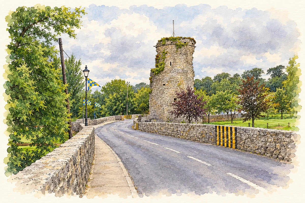
Golden’s bridge joins two sides of the River Suir, with a ruined tower and a Thomas MacDonagh memorial bringing different periods together at the crossing.
Illustration, Golden Castle tower ruins and bridge over the River Suir, Golden
⊕Recorded locationGolden52.49735° N · 7.98358° WInteractive map supplied by OpenStreetMap.
A reliable full-name meaning has not been established here. The recorded Irish and English forms are given without an unsupported translation.
Recorded forms
An Gabhailín· Irish · main form · validated name
Golden· English · main form
Place & story
A working village in 1837
Samuel Lewis counted 114 houses and 648 inhabitants in Golden in 1837. The village had a sub-post-office linked to Cashel, flour and oatmeal mills, and a police station. Four annual fairs brought trading into the settlement, while petty sessions met fortnightly. Lewis also recorded the parish church, built in 1808, and the tower added four years later with assistance from the Board of First Fruits. His account describes a small service and milling centre on the road between Cashel and Tipperary, divided by the Suir but connected by its bridge.[2]
A bridge across two channels
Golden’s twelve-arch road bridge spans the Suir’s divided channels beside an island bearing the remains of a tower house. The architectural inventory dates the bridge’s origins to around 1500, with rebuilding around 1770. Limestone arches sweep across the river, and projecting cutwaters face upstream. Later concrete beneath the arches records further intervention in the old structure. The ruined tower gives the crossing a defensive context, while the bridge itself remains evidence of the engineering needed to maintain this important passage over the river.[3]
People & connections
Remembering Thomas MacDonagh
A stone plaque beside the island’s ruined tower commemorates Thomas MacDonagh. Edward Bourke’s 2024 memorial survey records the inscription’s references to his Tipperary origins, command of the Jacob’s garrison during the Easter Rising and execution on 3 May 1916. The monument’s local association is commemorative: it honours MacDonagh at the river crossing. Its inscription also connects remembrance of the Rising with the Norman builders of the castle, bringing distinct historical identities into the same memorial landscape.[4]
Both counts use the 2016 settlement boundary, allowing like-for-like comparison. CSO supplies the 2022 count on this older boundary for comparison only. The official 2022 Built Up Area has different boundaries.
View population figures
Golden — Census 2016 settlement footprint — census population
Golden, South Tipperary — Census town, CSO 2006 report
2002–2006: census town
255people · 2006
These are the historical areas published in the 2006 census report. Boundaries may differ between censuses and from modern settlements. Legal towns, environs and suburbs are shown separately; none has been combined into a modern settlement total.
View population figures
Golden, South Tipperary — Census town, CSO 2006 report — census population
Golden, South Tipperary — Census town, CSO 1996 report
1991–1996: census town
262people · 1996
These are the historical areas published in the 1996 census report. Boundaries may differ between censuses and from modern settlements. Legal towns, environs and suburbs are shown separately; none has been combined into a modern settlement total.
View population figures
Golden, South Tipperary — Census town, CSO 1996 report — census population
Figures cover the historical town area printed in the 1986 report. Boundaries may have changed between censuses. Legal town, environs and suburb totals remain separate and differ from modern settlement boundaries.
View population figures
Golden, Tipperary — Census town, CSO 1986 report — census population
These figures use different area definitions. Read the boundary note before comparing them.
Golden, South Tipperary
Published census settlement populations
267people · 2016
Settlement boundaries changed during this period. Differences may reflect boundary changes as well as population change. Where a 2011 legal-town-and-environs count is shown, it has not been recalculated onto the 2016 settlement boundary.
 placenames