Excavations south of Twomileborris revealed houses, burials, craft workshops and a hoard of silver pennies. They provide an unusually detailed view of life before and during the medieval borough.
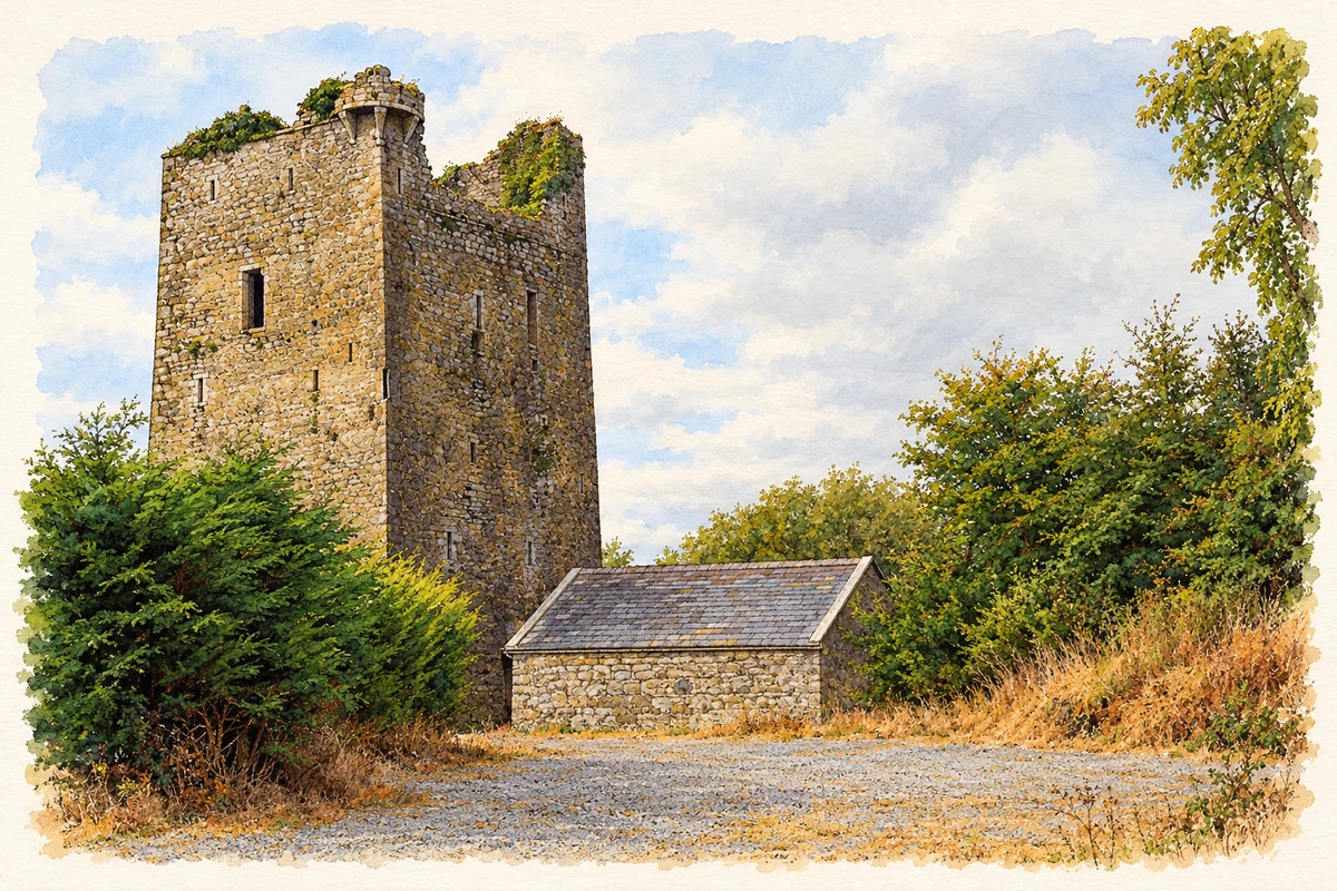
Illustration, Black Castle, Twomileborris
⊕Recorded locationTwomileborris52.67340° N · 7.71075° WInteractive map supplied by OpenStreetMap.
These Irish name elements are associated with this record in the Logainm glossary.
An element’s translation is a clue, rather than a complete explanation of the name. Its form and meaning depend on local history and the full Irish name.
Recorded forms
Buiríos Léith· Irish · main form · validated name
Twomileborris· English · main form
Place & story
Houses and burials beneath the fields
Road-scheme excavations in Borris and Blackcastle uncovered an enclosed settlement with a radiocarbon date of AD 400–560. A later ringfort contained traces of four circular structures. Twenty early medieval burials were found nearby, including a woman buried with a copper-alloy ring-pin. Domestic finds included knives, a quern fragment and a stone gaming-board.[2]
The borough's workshops and silver
Medieval features included a millhouse and wheel-pit, preserved oak timbers, cereal-drying kilns and furnaces. Pottery came from England and France. A pit held fifty-three silver pennies and a carved bone object; seventy-one silver coins were found across the medieval features.[2]
Saint James's church
Saint James's Catholic church dates from around 1830 and has a cruciform plan, with a nave, transepts and apse. Its bellcote rises above the entrance gable, where three pointed windows provide a distinctive feature. The main doorway has a four-centred arch and timber doors with strap hinges. Inside, the architectural survey records a carved timber arcade in the altar area and a gallery with a carved balustrade above a glazed screen. The church remains one of the village's most recognisable buildings.[3]
Both counts use the 2016 settlement boundary, allowing like-for-like comparison. CSO supplies the 2022 count on this older boundary for comparison only. The official 2022 Built Up Area has different boundaries.
View population figures
Twomileborris — Census 2016 settlement footprint — census population
Twomileborris, North Tipperary — Census town, CSO 2006 report
2002–2006: census town
550people · 2006
These are the historical areas published in the 2006 census report. Boundaries may differ between censuses and from modern settlements. Legal towns, environs and suburbs are shown separately; none has been combined into a modern settlement total.
View population figures
Twomileborris, North Tipperary — Census town, CSO 2006 report — census population
Twomileborris, North Tipperary — Census town, CSO 1996 report
1991–1996: census town
325people · 1996
These are the historical areas published in the 1996 census report. Boundaries may differ between censuses and from modern settlements. Legal towns, environs and suburbs are shown separately; none has been combined into a modern settlement total.
View population figures
Twomileborris, North Tipperary — Census town, CSO 1996 report — census population
These figures use different area definitions. Read the boundary note before comparing them.
Twomileborris, North Tipperary
Published census settlement populations
572people · 2016
Settlement boundaries changed during this period. Differences may reflect boundary changes as well as population change. Where a 2011 legal-town-and-environs count is shown, it has not been recalculated onto the 2016 settlement boundary.
View population figures
Twomileborris, North Tipperary — census population
 placenames