 placenames
Scarriff
An Scairbh
Scarriff’s mills and weigh house recall its trading past, while nearby seed gardens preserve another kind of local heritage.
The name
A reliable full-name meaning has not been established here. The recorded Irish and English forms are given without an unsupported translation.
Recorded forms
- An Scairbh · Irish · main form · validated name
- Scarriff · English · main form
Place & story
A town shaped by industry
Scarriff's nineteenth-century history includes more than its role as a market town. Clare Libraries records oil and flour mills, hat-making and an iron-smelting furnace among its earlier industries. Samuel Lewis described a settlement rising from the river, chiefly along one main street, in 1837. These activities connect the town's growth with the river and with the processing of raw materials from its wider hinterland. [2]
The weigh house
The small polygonal building on Main Street began as a market weigh house. The architectural inventory dates it to about 1855 and records a weighbridge on the site. Sandstone walls, limestone corner stones and a flagged interior floor distinguish this compact piece of market infrastructure. Its later use as a community centre preserved a building once concerned with measuring goods and conducting local trade. [3]
Conserving food-crop heritage
At Capparoe, outside Scarriff, Irish Seed Savers gives agricultural heritage a living form. Anita Hayes founded the association in 1991, initially in County Carlow, before it moved to Clare. Its gardens and orchards conserve heritage seeds and Irish apple varieties. The organisation grows, saves and shares plant material alongside teaching, keeping varieties in use rather than treating heritage solely as objects or records from the past. [4]
Geographic information
- Place type
- Town
- County
- Clare
- Barony
- Tulla Upper
- Civil parish
- Tomgraney
- Coordinates
- 52.90585, -8.53568
- Logainm ID
- 7777 ↗
Sources & further reading
- Logainm.ie — Scarriff. Place names and geographic record, licensed under CC BY 4.0.
- Scariff: Historical Background · Clare Libraries Local Studies
- Scarriff Market House, 20402801 · National Inventory of Architectural Heritage
- Our Story · Irish Seed Savers Association
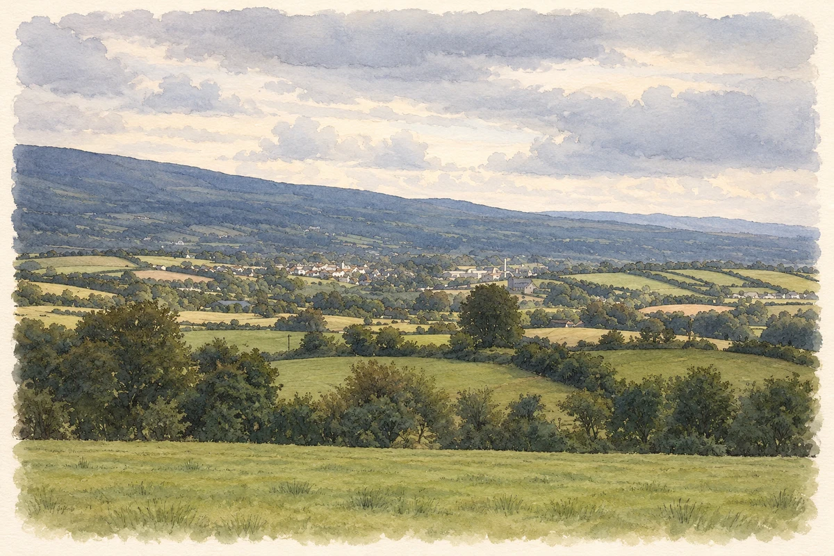
- Scarriff and surrounding countryside, 2006 view illustration: based on a Scariff by Mark Hogan. AI-assisted watercolour and ink adaptation; cream paper margins added, incidental clutter omitted and fine details simplified. Licence: CC BY-SA 2.5.

Name record retrieved 2026-10-25 · Source record modified 2025-01-10. How this page was prepared.