These Irish name elements are associated with this record in the Logainm glossary.
An element’s translation is a clue, rather than a complete explanation of the name. Its form and meaning depend on local history and the full Irish name.
Recorded forms
Dún Mánmhaí· Irish · main form · validated name
Dunmanway· English · main form
Place & story
Richard Cox's linen town
Sir Richard Cox secured markets and fairs for Dunmanway and promoted linen manufacture. He also built a substantial bridge over the Bandon. The town developed along a long street west of the crossing. By 1837 Lewis found few linen looms still working, but other industries remained: a brewery established in 1831, tanneries and flour mills. Corn trading had grown since 1810, while Tuesday markets and cattle fairs continued to draw business into town.[2]
People & connections
Sam Maguire in London
Born near Dunmanway in 1877, Sam Maguire became a leading figure in the GAA's London community. He captained London Hibernians in All-Ireland finals in 1900, 1901 and 1903 and later chaired the London board. Liam MacCarthy was among his colleagues. Maguire returned to Ireland and worked in the civil service, but died of tuberculosis in 1927. The All-Ireland senior football trophy subsequently carried his name, making the Dunmanway man's memory familiar throughout the sporting world.[3]
Eight bells for the community
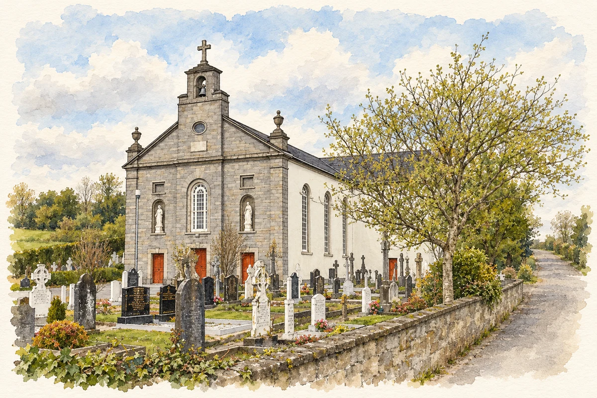
Maguire is buried in the churchyard of St Mary's Church of Ireland. In 2017 the parish and local community dedicated a set of eight bells to his memory. Their themes encompassed sport, migration, agriculture, religious traditions, education and the arts, industry, the town's people, and war and revolution. The project invited residents to learn bell-ringing together. It created a local commemoration centred on a shared activity as well as the grave of the celebrated sportsman.[4]
Both counts use the 2016 settlement boundary, allowing like-for-like comparison. CSO supplies the 2022 count on this older boundary for comparison only. The official 2022 Built Up Area has different boundaries.
View population figures
Dunmanway — Census 2016 settlement footprint — census population
These are the historical areas published in the 2006 census report. Boundaries may differ between censuses and from modern settlements. Legal towns, environs and suburbs are shown separately; none has been combined into a modern settlement total.
View population figures
Dunmanway, Cork — Census town, CSO 2006 report — census population
These are the historical areas published in the 1996 census report. Boundaries may differ between censuses and from modern settlements. Legal towns, environs and suburbs are shown separately; none has been combined into a modern settlement total.
View population figures
Dunmanway, Cork — Census town, CSO 1996 report — census population
Figures cover the historical town area printed in the 1986 report. Boundaries may have changed between censuses. Legal town, environs and suburb totals remain separate and differ from modern settlement boundaries.
View population figures
Dunmanway, Cork — Census town, CSO 1986 report — census population
These figures use different area definitions. Read the boundary note before comparing them.
Dunmanway, Cork
Published census settlement populations
1,655people · 2016
Settlement boundaries changed during this period. Differences may reflect boundary changes as well as population change. Where a 2011 legal-town-and-environs count is shown, it has not been recalculated onto the 2016 settlement boundary.
 placenames