These Irish name elements are associated with this record in the Logainm glossary.
An element’s translation is a clue, rather than a complete explanation of the name. Its form and meaning depend on local history and the full Irish name.
Recorded forms
An Tóchar· Irish · main form · validated name
Causeway· English · main form
Place & story
Roads across the bog
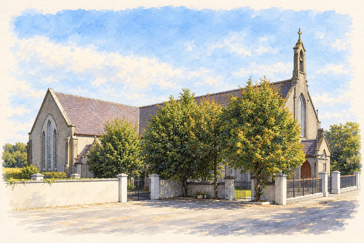
Samuel Lewis placed Causeway at the meeting of roads from Ardfert and Ballyheigue towards Cashenferry in his 1837 dictionary. He explained its English name by a paved highway crossing the bogs towards higher ground to the north. Four annual fairs chiefly traded cattle, and a police force was stationed in the village. Lewis distinguished the large, slated Catholic chapel within Causeway from the parish church and glebe house about half a mile west, describing a settlement whose services extended beyond its main junction.[2]
People & connections
Doctor Nealan’s school bequest
Lewis also recorded a national school chiefly supported by a £1,000 bequest from the late Doctor Nealan, a parish priest and native of the parish. His account praised Nealan’s work as both priest and magistrate in maintaining local peace during the disturbances of 1798. The bequest provides a specific early connection between a local benefactor and organised schooling in Causeway. It forms part of the 1837 description, rather than a claim about the funding or governance of later schools.[2]
The making of a comprehensive school
Causeway Comprehensive School traces its history through several institutions. Saint Patrick’s and Saint Mary’s colleges provided secondary education from 1947, while the vocational school opened on 9 September 1957. Saint Patrick’s joined the vocational school in 1967, and the Presentation Secondary School at Lixnaw amalgamated with the expanded school in 1973. Accommodation remained divided between the 1957 building and twenty-three prefabricated classrooms until a new building opened on the adjoining site in 1980. Later extensions continued that expansion, turning Causeway into an important centre for education across its surrounding district.[3]
Both counts use the 2016 settlement boundary, allowing like-for-like comparison. CSO supplies the 2022 count on this older boundary for comparison only. The official 2022 Built Up Area has different boundaries.
View population figures
Causeway — Census 2016 settlement footprint — census population
These are the historical areas published in the 2006 census report. Boundaries may differ between censuses and from modern settlements. Legal towns, environs and suburbs are shown separately; none has been combined into a modern settlement total.
View population figures
Causeway, Kerry — Census town, CSO 2006 report — census population
These are the historical areas published in the 1996 census report. Boundaries may differ between censuses and from modern settlements. Legal towns, environs and suburbs are shown separately; none has been combined into a modern settlement total.
View population figures
Causeway, Kerry — Census town, CSO 1996 report — census population
Figures cover the historical town area printed in the 1986 report. Boundaries may have changed between censuses. Legal town, environs and suburb totals remain separate and differ from modern settlement boundaries.
View population figures
Causeway, Kerry — Census town, CSO 1986 report — census population
These figures use different area definitions. Read the boundary note before comparing them.
Causeway, Kerry
Published census settlement populations
257people · 2016
Settlement boundaries changed during this period. Differences may reflect boundary changes as well as population change. Where a 2011 legal-town-and-environs count is shown, it has not been recalculated onto the 2016 settlement boundary.
 placenames