 placenames
Chapeltown
Baile an tSéipéil
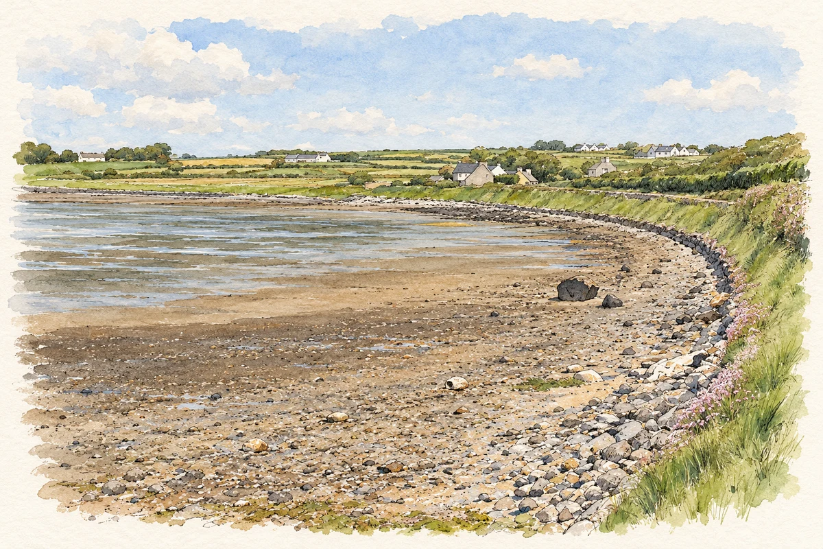
This Chapeltown lies near Fenit and Barrow Harbour, where an early nineteenth-century chapel left a surviving link with the later church at Churchill.
The name
These Irish name elements are associated with this record in the Logainm glossary.
An element’s translation is a clue, rather than a complete explanation of the name. Its form and meaning depend on local history and the full Irish name.
Recorded forms
- Baile an tSéipéil · Irish · main form
- Chapeltown · English · main form
Place & story
The chapel behind the village name
An Ordnance Survey namebook entry from 1841 describes Chapeltown as a small village with a Roman Catholic chapel rebuilt in 1802. The building was thatched and could accommodate about 250 people. The record explicitly connects the village’s name with this chapel. Preserved in the Placenames Database of Ireland, it gives a specific account of the settlement in Ballyea townland, rather than the different Chapeltown on Valentia Island. [2]
A font carried into the later parish church
A baptismal font inscribed 1802 survives in the Church of the Purification at nearby Churchill. The county archaeological survey identifies it as coming from Chapeltown’s earlier chapel. The replacement Catholic church at Churchill opened on 24 May 1859, originally under the dedication St Mary’s, Star of the Sea. The font provides a tangible connection between the smaller chapel settlement and the later parish church, even though worship moved to a different building. [3]
The nearby forge and its preservation
Churchill Forge is another nearby reminder of the working life of the district. It appears on maps by 1842 and continued in use under blacksmith Patrick O’Sullivan, remembered locally as Paddy the Smith. After falling into disrepair, it was restored by the community and opened to visitors in 2002. A heritage centre followed in 2016. The preserved anvil, bellows, furnace and hand tools explain the practical skills once needed by surrounding farms and households. [4]
Geographic information
- Place type
- Population centre
- County
- Kerry
- Barony
- Trughanacmy
- Civil parish
- Ballynahaglish
- Within
- Ballyea
- Coordinates
- 52.29142, -9.83532
- Logainm ID
- 101095 ↗
Sources & further reading
- Logainm.ie — Chapeltown. Place names and geographic record, licensed under CC BY 4.0.
- Chapeltown, record 101095: hierarchy and 1841 Ordnance Survey namebook evidence · Placenames Database of Ireland; Ordnance Survey Parish Namebook
- Archaeological Survey, Churchill Graveyard, October 2010, page 7 and plate 6 · Laurence Dunne Archaeology for Kerry County Council Heritage Office
- About Churchill Forge: restoration and heritage centre · Churchill Forge and Heritage Centre; Spa Fenit Community Council
- Chapeltown on Barrow Harbour, County Kerry illustration: based on a Chapeltown, Barrow Harbour by Adrian Platt. AI-assisted watercolour and ink adaptation; cream paper margins added, incidental clutter omitted and fine details simplified. Licence: CC BY-SA 2.0.
Name record retrieved 2026-10-25 · Source record modified 2026-06-17. How this page was prepared.