 placenames
Beal
Biaille
Beal’s position near the mouth of the Shannon links its history to castles, coastal surveying and early aviation. An estate map preserves the arrangement of fields and sandhills, while the strand became an unexpected landing place during an attempted Atlantic crossing.
The name
A reliable full-name meaning has not been established here. The recorded Irish and English forms are given without an unsupported translation.
Recorded forms
- Biaille · Irish · main form
- Beal · English · main form
Place & story
The castle at Castlequarter
Beal Castle, nearby in Castlequarter, was a Fitzmaurice stronghold overlooking the Shannon. The archaeological survey describes foundations within a rectangular enclosure, with surviving banks and traces of an outer ditch. Earlier descriptions recorded a much taller building, including vaulted floors, but the tower itself has fallen. Its remains therefore require a different kind of reading from a standing tower house: the enclosing earthworks and foundations preserve the shape of a fortified site whose masonry has largely disappeared. [2]
An estate landscape on paper
The National Library holds a hand-coloured map of farmland, woodland and sandhills at Beal and Kilconly, showing their relationship to the Shannon Estuary. Surveyor Robert Stack of Tralee produced it in 1817 for the estate of William, Lord Ennismore. The catalogue explains that Stack copied earlier maps drawn by Henry Pratt in 1697. Beal Castle and Kilconly’s old church are marked, connecting agricultural land divisions with older landmarks along the coast. [3]
Princess Xenia on the strand
On 16 September 1927, Robert McIntosh and Irish Air Corps officer James Fitzmaurice left Baldonnel in the Fokker monoplane Princess Xenia, attempting an east-to-west Atlantic crossing. Bad weather forced them to abandon the flight and return to Ireland. They landed on Beal Strand near Ballybunion. The National Library’s contemporary photograph collection documents the aircraft and departure, while the local community history records the strand landing. Beal thus became part of an unsuccessful attempt that preceded Fitzmaurice’s better-known Atlantic achievement. [4] [5]
Geographic information
Sources & further reading
- Logainm.ie — Beal. Place names and geographic record, licensed under CC BY 4.0.
- Beal Castle, Castlequarter: Archaeological Survey of Ireland record derived from North Kerry Archaeological Survey · Archaeological Survey of Ireland / C. Toal, 1995 / ARIADNE
- Map of farm land in Beal and Kinconly, County Kerry, 1817, MS L 429/25 · National Library of Ireland / Robert Stack
- Fokker monoplane Princess Xenia at Baldonnel, September 1927, INDH698 · National Library of Ireland / Independent Newspapers collection
- Princess Xenia lands at Beal Strand · Beal community history, reproducing Portlaoise CBS biographical material
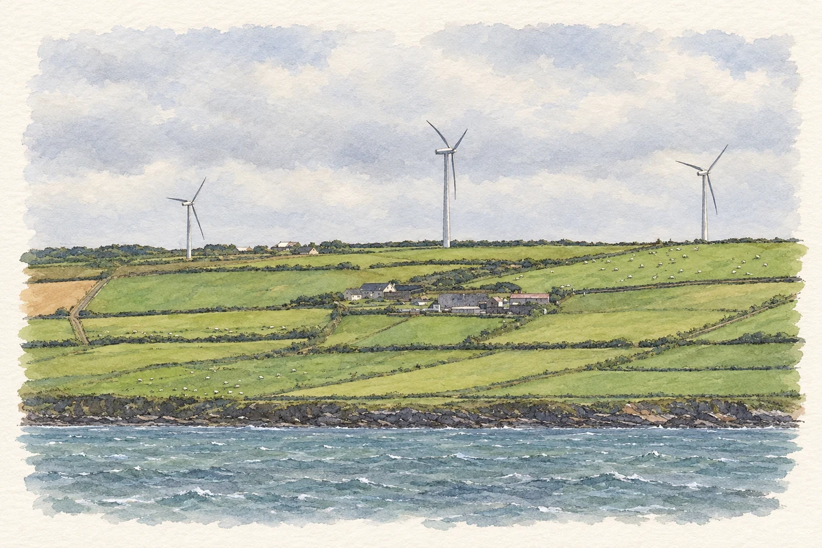
- Coast and wind farm near Beal, 2003 reconstruction illustration: based on a Beal, Co. Kerry: Wind Farm by Warren Buckley. AI-assisted watercolour and ink adaptation; cream paper margins added, incidental clutter omitted and fine details simplified. Licence: CC BY-SA 2.0.
Name record retrieved 2026-10-25 · Source record modified 2021-03-02. How this page was prepared.