 placenames
Killorglin
Cill Orglan
Changes in worship and hospitality gave two familiar town sites new purposes during the late twentieth century.
The name
These Irish name elements are associated with this record in the Logainm glossary.
An element’s translation is a clue, rather than a complete explanation of the name. Its form and meaning depend on local history and the full Irish name.
Recorded forms
- Cill Orglan · Irish · main form
- Killorglin · English · main form
Place & story
A church rebuilt in the nineteenth century
The former Church of Ireland building behind Lower Bridge Street was erected in 1816 and substantially rebuilt in 1868. The present venue’s history considers the tower and smaller nave surviving parts of the earlier church, with the larger nave belonging to the rebuilding. That account distinguishes surviving fabric from the building’s much earlier, less certain chapel associations. [2]
From church to restaurant
After deconsecration in 1996, Nicholas Foley and his daughter Cliodhna purchased and restored the building. It opened as Sol y Sombra restaurant in 2006 and later became 10 Bridge Street. The venue’s own history records this sequence of conservation and reuse, preserving a nineteenth-century landmark through a new commercial purpose. [2]
Worship on the former station site
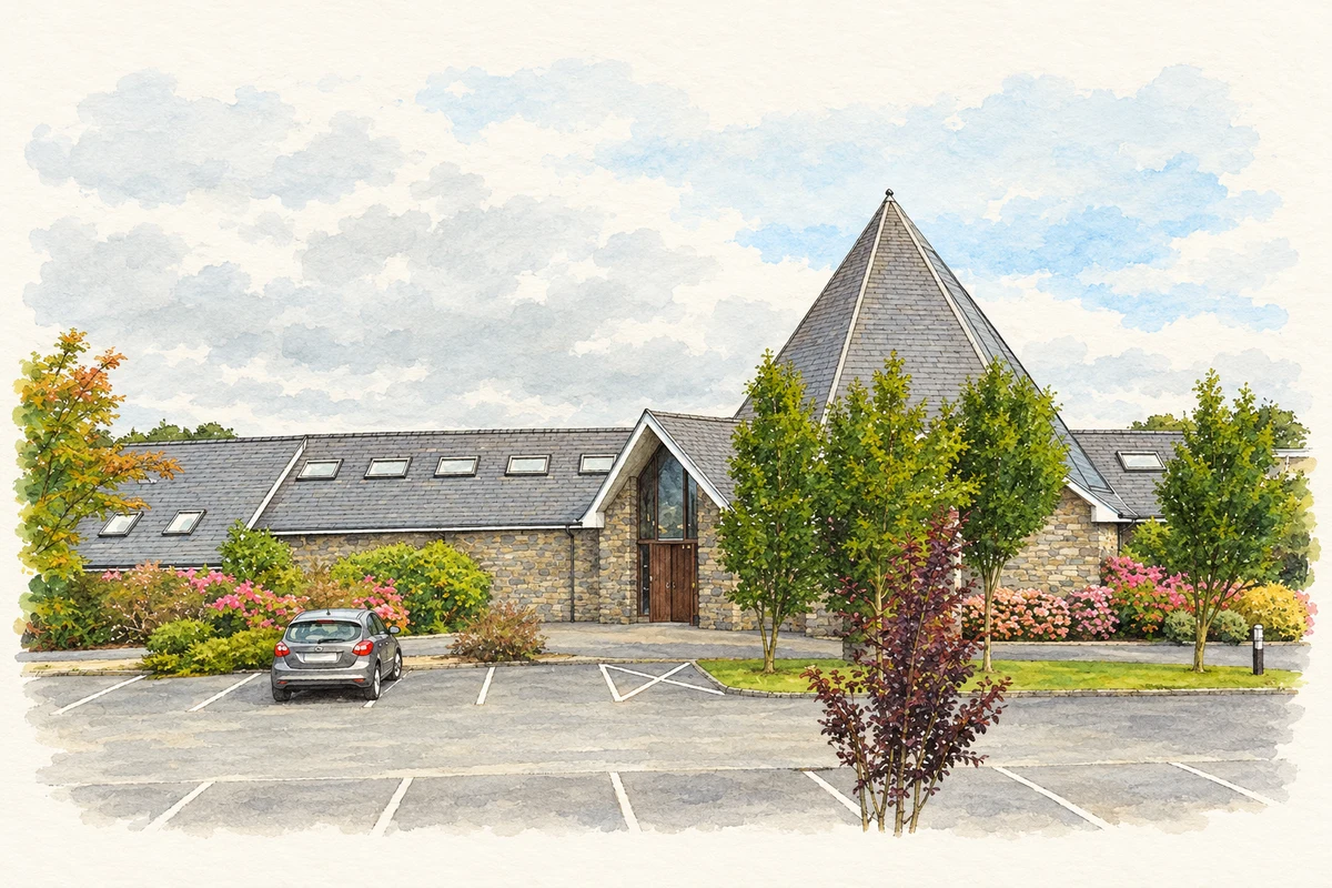
Saint Michael’s, the replacement Church of Ireland church, was built in 1997. Killorglin’s heritage trail locates it on the site of the former railway passenger building and platform. Its construction brought a new use to railway land after the line’s closure, while worship continued in a purpose-built church. [3]
Geographic information
Sources & further reading
- Logainm.ie — Killorglin. Place names and geographic record, licensed under CC BY 4.0.
- About 10 Bridge Street: former church, Foley restoration and Sol y Sombra · 10 Bridge Street, Foley family venue
- Killorglin Town History Trail, section9, former station and Saint Michael’s · Killorglin Town Heritage Trail
- Saint Michael’s Church on the former railway station site at Killorglin, County Kerry, as photographed in August 2014 illustration: based on a St Michael's Church, Killorglin by Ian S. AI-assisted watercolour and ink adaptation; cream paper margins added, incidental clutter omitted and fine details simplified. Licence: CC BY-SA 2.0.
Name record retrieved 2026-10-25 · Source record modified 2009-10-27. How this page was prepared.