 placenames
Boherboy
An Bóthar Buí
The Owenmore crossing and records of its surrounding habitats give this small settlement a distinct place in the valley.
The name
These Irish name elements are associated with this record in the Logainm glossary.
An element’s translation is a clue, rather than a complete explanation of the name. Its form and meaning depend on local history and the full Irish name.
Recorded forms
- An Bóthar Buí · Irish · main form · validated name
- Boherboy · English · main form
Place & story
The bridge on the road north
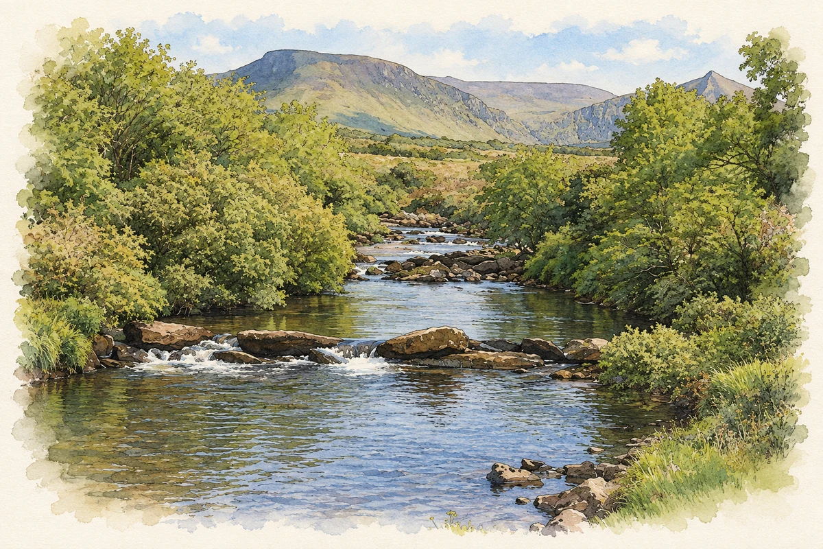
Boherboy Bridge carries the road over the Owenmore on the approach to Cloghane and Brandon. An inspector visiting in November 2020 described its stone construction, with a large arch carrying the river and a smaller dry arch to the west. Earlier interventions had added concrete beneath one opening and along the parapets. An old Garda station stood northwest of the crossing, among predominantly agricultural lands. [2]
Repairing a living river crossing
Kerry County Council’s proposal to repair the bridge prompted a detailed examination of the river habitat. A July 2018 survey recorded thirty-six live freshwater pearl mussels in a 170-metre stretch around the crossing. The repair assessment considered how to limit sediment and protect these animals, including supervised relocation if required. It documents the care needed where an established road crossing meets the Owenmore’s sensitive river environment. [2]
A botanist’s earlier visit
The surrounding countryside had attracted natural-history observation long before that assessment. In his study of Irish marsh orchids, published in the Botanical Society and Exchange Club’s report for 1936, Patrick M. Hall recorded observations at Boherboy, a mile south of Cloghane, and east towards the Scorid River. His entry distinguishes plants observed from specimens collected: the Boherboy records belonged to the former category. [3]
Geographic information
- Place type
- Population centre
- County
- Kerry
- Barony
- Corkaguiny
- Civil parish
- Cloghane
- Within
- Slievadrehid
- Coordinates
- 52.22873, -10.17814
- Logainm ID
- 1393932 ↗
Sources & further reading
- Logainm.ie — Boherboy. Place names and geographic record, licensed under CC BY 4.0.
- Boherboy Bridge development works: Inspector’s Report ABP-308488-20 · Sarah Lynch, An Bord Pleanála
- The Irish Marsh Orchids, Report for 1936, volume XI part III · Patrick M. Hall, Botanical Society and Exchange Club of the British Isles
- River Owenmore at Boherboy, County Kerry illustration: based on a River Owenmore at Boher Bridge (31 May 2009) by Adrian Platt. AI-assisted watercolour and ink adaptation; cream paper margins added, incidental clutter omitted and fine details simplified. Licence: CC BY-SA 2.0.
Name record retrieved 2026-10-25 · Source record modified 2025-01-10. How this page was prepared.