 placenames
Keel
An Chill
Keel in St Finan's Bay preserves adjoining church remains of different dates, while local recollections connect its stream with the journey to school.
The name
These Irish name elements are associated with this record in the Logainm glossary.
An element’s translation is a clue, rather than a complete explanation of the name. Its form and meaning depend on local history and the full Irish name.
Recorded forms
- An Chill · Irish · main form · validated name
- Keel · English · main form
Place & story
Two churches on one site
The ruined Killemlagh Catholic chapel at Keel contains buildings from different periods. The National Inventory dates the larger church to around 1840 and records it as still in use in 1896. Attached to its southern side are the remains of a smaller, single-room chapel, dated by the survey to around 1600 and already ruinous in 1896. The distinction prevents the whole complex being mistaken for a single early monastery. [2]
A churchyard framed by an older entrance
The larger church retains its rubble-stone walls, tall pointed window openings and a bellcote at the western end, although its roof has gone. A stone water basin occupies a niche beneath a southern window. The National Inventory records grave markers and mausolea dating approximately from 1700 to 1950. Six dressed-limestone piers and wrought-iron gates form an entrance attributed to the nineteenth-century chapel's building period. [2]
The Caol and the way to school
Local historian Patrick O'Leary's account of the Glen's rivers follows the Caol from Killabuonia, between Killabuonia and Aghort, below Keel and out to the sea at Keel Strand. His recollection of the 1950s adds a small detail of everyday travel: children crossed the stream to reach an old road leading towards the school. The remembered route connects Keel's landscape with ordinary journeys beyond the churchyard. [3]
Geographic information
- Place type
- Population centre
- County
- Kerry
- Barony
- Iveragh
- Civil parish
- Killemlagh
- Within
- Rathkieran
- Coordinates
- 51.84960, -10.33518
- Logainm ID
- 1394552 ↗
Sources & further reading
- Logainm.ie — Keel. Place names and geographic record, licensed under CC BY 4.0.
- Séipéal na Cille, Killemlagh Catholic Chapel, NIAH 21309601 · National Inventory of Architectural Heritage
- Around the Districts: Milltown to Waterville, Placenames in the Glen: Rivers in the Glen, 2021 · Patrick O’Leary; local notes, Irish Independent
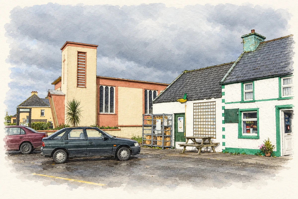
- Keel’s church and post office, as photographed in 2007 illustration: based on a Keel church and post office by Jonathan Billinger. AI-assisted watercolour and ink adaptation; cream paper margins added, incidental clutter omitted and fine details simplified. Licence: CC BY-SA 2.0.
Name record retrieved 2026-10-25 · Source record modified 2025-01-10. How this page was prepared.