 placenames
Kilcooly
Cill Chúile
Kilcooly on the Dingle peninsula is marked by St Brendan's sandstone church and by nineteenth-century census evidence of its surrounding community.
The name
These Irish name elements are associated with this record in the Logainm glossary.
An element’s translation is a clue, rather than a complete explanation of the name. Its form and meaning depend on local history and the full Irish name.
Recorded forms
- Cill Chúile · Irish · main form · validated name
- Kilcooly · English · main form
Place & story
St Brendan’s in red sandstone
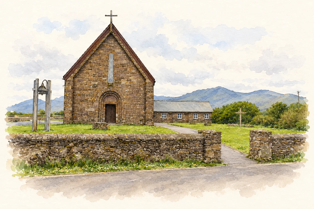
St Brendan's Catholic church at Kilcooly, also identified with Boherboy, was built around 1875. Its red-sandstone walls and round-headed windows follow a Hiberno-Romanesque design. The lower chancel projects from the northeastern end, with a small sacristy beside it. The National Inventory records sloping bases and deeply recessed openings, details that give this otherwise straightforward single-volume church a distinctive architectural character. [2]
Changes to roof and sanctuary
The church changed during the later twentieth century. Its roof was replaced with copper sheeting, and the bellcote formerly on the southwestern gable was removed. Inside, the roof trusses remained exposed while the chancel was remodelled. The National Inventory dates three stained-glass panels to around 1980. These alterations distinguish the building's later appearance from the church first constructed in the nineteenth century. [2]
The community in the census
The 1891 census lists Kilcooly townland within Kilmalkedar parish and the barony of Corkaguiny. Its population series records 100 people in 1851, 164 in 1881 and 169 in 1891. The final total comprised ninety-one males and seventy-eight females. These figures describe the historical townland, rather than an independently defined village boundary, and document an increase within that census unit during the decades when the church was built. [3]
Geographic information
- Place type
- Population centre
- County
- Kerry
- Barony
- Corkaguiny
- Civil parish
- Kilmalkedar
- Within
- Kilcooly
- Coordinates
- 52.19880, -10.34405
- Logainm ID
- 1394560 ↗
Sources & further reading
- Logainm.ie — Kilcooly. Place names and geographic record, licensed under CC BY 4.0.
- Séipéal Bhréanainn, Saint Brendan’s Catholic Church, NIAH 21303301 · National Inventory of Architectural Heritage
- Census of Ireland 1891, Kerry, printed page 433, Kilmalkedar parish · Census of Ireland; Central Statistics Office digital archive
- Saint Brendan’s Church at Kilcooly, as photographed in 2005 illustration: based on a Church near Baile na Ngall by Pam Brophy. AI-assisted watercolour and ink adaptation; cream paper margins added, incidental clutter omitted and fine details simplified. Licence: CC BY-SA 2.0.
Name record retrieved 2026-10-25 · Source record modified 2025-01-10. How this page was prepared.