 placenames
Caherdaniel
Cathair Dónall
A village church, a coastal inscription and Daniel O’Connell’s family home connect Caherdaniel with several periods of Kerry history.
The name
A reliable full-name meaning has not been established here. The recorded Irish and English forms are given without an unsupported translation.
Recorded forms
- Cathair Dónall · Irish · main form · validated name
- Caherdaniel · English · main form
Place & story
The old road towards Sneem
The path east from Caherdaniel follows a former butter road and coach route. The Kerry Way’s own account records its later use for driving cattle and reaching Kilcrohane Church on Pattern Day. Between the village and Coad, part of this older route has acquired another interpretive layer as the Walk of the Planets, connecting a historic line of travel with the area’s dark-sky landscape. [2]
A stone found on the strand
The Darrynane Beg ogham stone, also called the Caherdaniel ogham stone, was discovered lying flat on Darrynane Strand. It was moved to its later position in the 1940s. Just over two metres high, the sandstone carries an inscription naming Llatigni and his father Minerc, with a further tribal name that survives imperfectly. It provides an early written personal memorial in the landscape around the village. [3]
Saint Crohan’s Church
Saint Crohan’s Church began around 1825 and was considerably enlarged around 1890. Transepts and a polygonal apse changed its plan, while the lancet windows, bellcote and open timber roof distinguish its architecture. Stained glass in the apse dates from the later nineteenth-century work, with further panels added to the transepts around 1940. The building therefore records successive generations of alteration rather than a single construction campaign. [4]
Daniel O’Connell’s coastal home
Derrynane House, about three and a half kilometres from Caherdaniel, was the O’Connell family home where Daniel was raised and to which he returned during his public career. The house preserves personal objects, including the bed in which he died in 1847. Its surrounding demesne forms part of Derrynane National Historic Park, linking the remembered household with a much larger coastal landscape. [5]
Geographic information
- Place type
- Population centre
- County
- Kerry
- Barony
- Dunkerron South
- Civil parish
- Kilcrohane
- Within
- Caherdaniel
- Coordinates
- 51.76468, -10.10062 (approximate)
- Logainm ID
- 1412426 ↗
Sources & further reading
- Logainm.ie — Caherdaniel. Place names and geographic record, licensed under CC BY 4.0.
- Caherdaniel to Sneem: Kerry Way stage seven · The Kerry Way
- Darrynane Beg Ogham Stone · Office of Public Works, Heritage Ireland
- Saint Crohan’s Catholic Church, NIAH 21310604 · National Inventory of Architectural Heritage
- Daniel O’Connell House: Derrynane House · Office of Public Works, Heritage Ireland
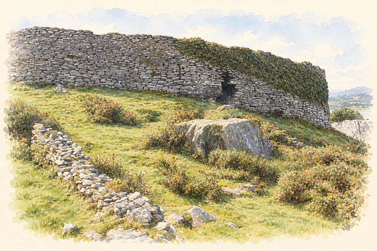
- Cathair Dónall stone fort, near Caherdaniel illustration: based on a Cathair Dónall (Caherdaniel) Ring Fort by Nigel Cox. AI-assisted watercolour and ink adaptation; cream paper margins added, incidental clutter omitted and fine details simplified. Licence: CC BY-SA 2.0.
Name record retrieved 2026-10-25 · Source record modified 2025-01-10. How this page was prepared.