A reliable full-name meaning has not been established here. The recorded Irish and English forms are given without an unsupported translation.
Recorded forms
Na Foidhrí· Irish · main form · validated name
Fieries· English · main form
Place & story
Fieries in medieval land records
Fieries appears among the lands of the Kilnanare estate in a dispute recorded in 1252. Historian Paul MacCotter also identifies it as the Fouerys named in a 1290 claim for twenty-four acres of arable land and a hundred acres of woodland. William le Chanu claimed these lands through his mother, Amira, against a FitzMaurice holder. These records establish a medieval history for the locality, without showing that the present village then existed in its current form.[2]
Saint Gertrude’s Church
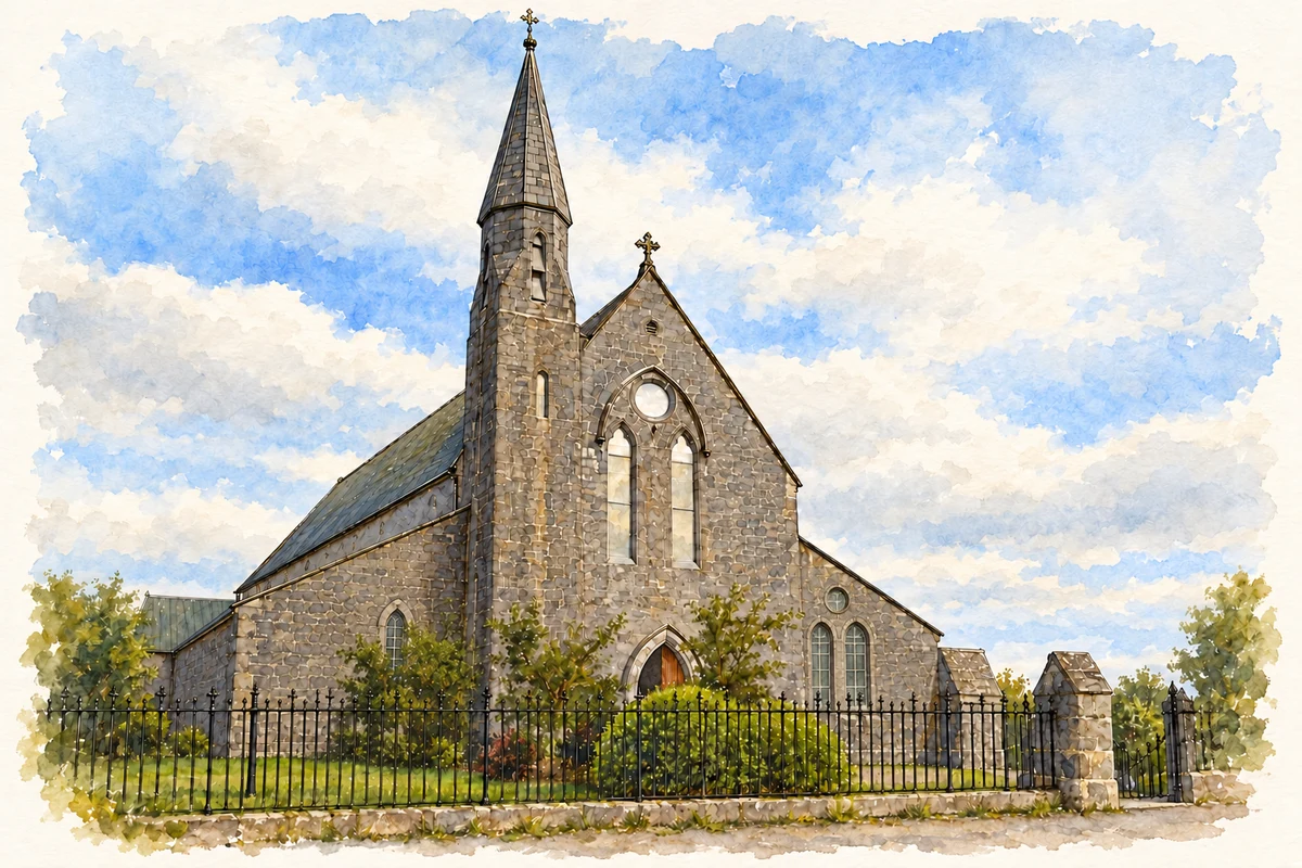
Saint Gertrude’s Church at Killahane dates from about 1860 and was designed by J. J. McCarthy. Its Gothic Revival plan includes a long nave, lower side aisles and a bowed apse. At the entrance end, a three-stage corner tower rises into a hexagonal spire. The building gives Fieries a particularly substantial nineteenth-century landmark, reflecting the scale and ambition of church construction in the decades after Catholic Emancipation.[3]
A new school in 1991
Firies National School opened its present building in 1991. Its site provides room for extensive playgrounds, while a school garden supports growing vegetables and learning about native woodland species. The school’s own account records later milestones including a GAA flag and digital-school recognition in 2019, followed by an Active School Flag in 2021. These dated achievements trace a recent chapter of village education alongside the older church.[4]
Both counts use the 2016 settlement boundary, allowing like-for-like comparison. CSO supplies the 2022 count on this older boundary for comparison only. The official 2022 Built Up Area has different boundaries.
View population figures
Fieries — Census 2016 settlement footprint — census population
These figures use different area definitions. Read the boundary note before comparing them.
Fieries, Kerry
Published census settlement populations
558people · 2016
Settlement boundaries changed during this period. Differences may reflect boundary changes as well as population change. Where a 2011 legal-town-and-environs count is shown, it has not been recalculated onto the 2016 settlement boundary.
Church of St Gertrude, Fieries, County Kerry illustration: based on a Firies: Church of St Gertrude by Nigel Cox. AI-assisted watercolour and ink adaptation; cream paper margins added, incidental clutter omitted and fine details simplified. Licence: CC BY-SA 2.0.
 placenames