Drumkeen’s church and schools record sustained local building efforts, supported at different times by emigrants, household contributions and years of community campaigning.
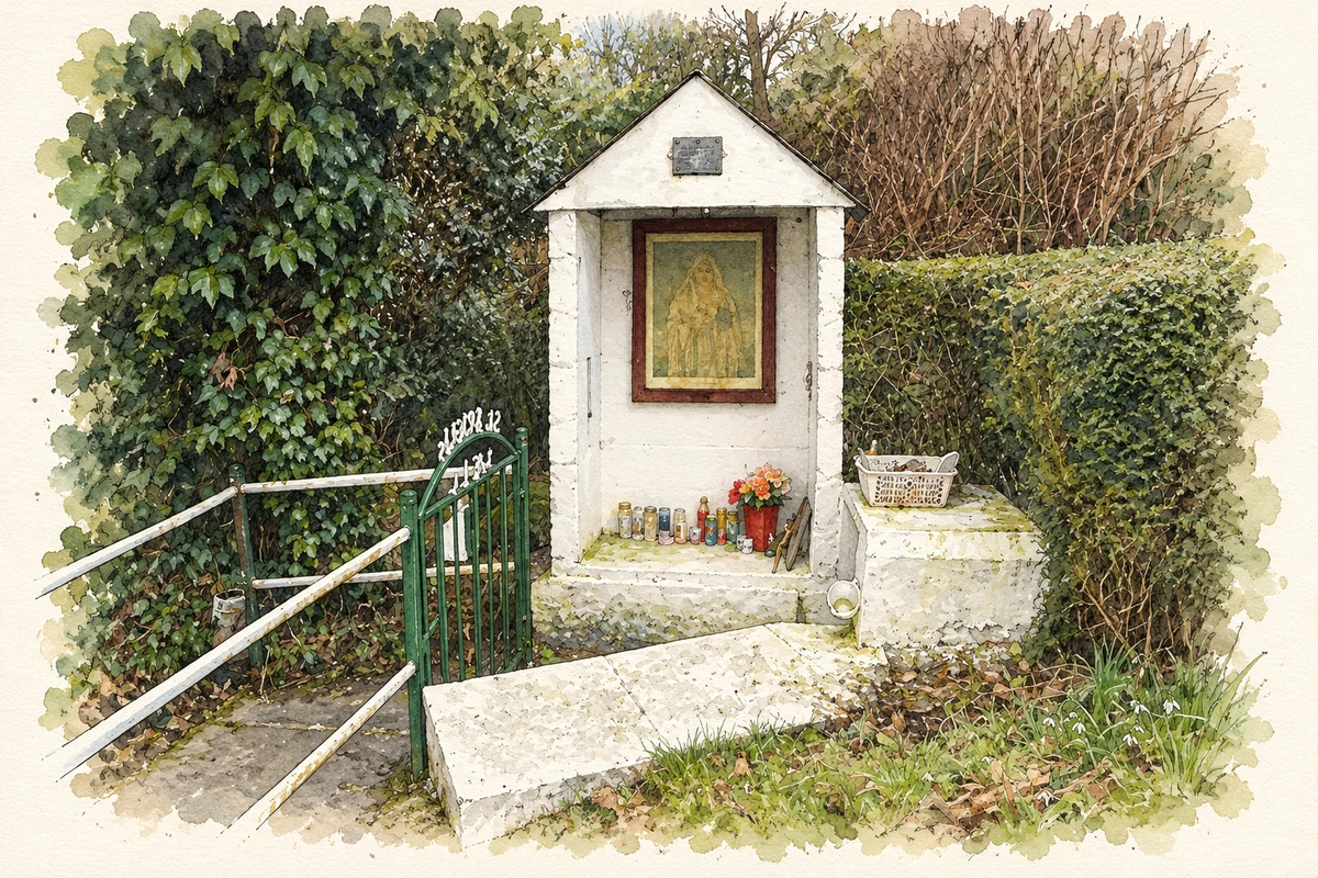
Illustration of St Bridget's Well shrine, Drumkeen, County Donegal, based on the 2010-03-19 reference photograph.
⊕Recorded locationDrumkeen54.86809° N · 7.75181° WInteractive map supplied by OpenStreetMap.
These Irish name elements are associated with this record in the Logainm glossary.
An element’s translation is a clue, rather than a complete explanation of the name. Its form and meaning depend on local history and the full Irish name.
Recorded forms
Droim Caoin· Irish · main form · validated name
Drumkeen· English · main form
Place & story
People & connections
Dean Feely’s church and emigrant support
Canon Edward Maguire's 1920 history of Raphoe records that Dean Feely erected Drumkeen's church in 1842, drawing mainly on money collected among Donegal emigrants in New York and Philadelphia. Maguire particularly recalled Feely's gratitude towards Irish domestic servants who contributed. His account connects the building with the earnings of people who had left Donegal, showing how an American fundraising journey helped provide a permanent place of worship at home.[2]
The school opened in 1936
Saint Patrick's school's own history describes its predecessor as a cramped, single-room building with two teachers and sometimes more than a hundred pupils. A replacement opened in 1936 on land bought from Jim Patton below the chapel. Households contributed towards the purchase of the field. The choice of this site over a proposed location at Lettermore placed the school near the village's existing religious and community buildings.[3]
The move to a new building in 1991
A committee formed in 1976 to seek another school as enrolment grew. Before replacement was approved, teaching extended into a prefabricated classroom and the parish hall. Letterkenny contractor Liam Condon built the new premises beside the chapel. On 4 September 1991, principal Master Ferry closed the old building and accompanied the children up the road to their new school. The school's account remembers both the achievement of the long campaign and the departure from familiar classrooms.[3]
Both counts use the 2016 settlement boundary, allowing like-for-like comparison. CSO supplies the 2022 count on this older boundary for comparison only. The official 2022 Built Up Area has different boundaries.
View population figures
Drumkeen — Census 2016 settlement footprint — census population
These figures use different area definitions. Read the boundary note before comparing them.
Drumkeen, Donegal
Published census settlement populations
193people · 2016
Settlement boundaries changed during this period. Differences may reflect boundary changes as well as population change. Where a 2011 legal-town-and-environs count is shown, it has not been recalculated onto the 2016 settlement boundary.
St Bridget's Well shrine, Drumkeen, County Donegal illustration: based on a St Bridget's Well by Kenneth Allen. AI-assisted watercolour and ink adaptation; cream paper margins added, incidental clutter omitted and fine details simplified. Licence: CC BY-SA 2.0.
 placenames