These Irish name elements are associated with this record in the Logainm glossary.
An element’s translation is a clue, rather than a complete explanation of the name. Its form and meaning depend on local history and the full Irish name.
Recorded forms
Caisleán Ghriaire· Irish · main form · validated name
Castlegregory· English · main form
Place & story
The castle in scattered stones
Castle Gregory no longer stands, but architectural fragments survive around the village. Archaeologist Laurence Dunne’s report of 1997 testing near Tailor’s Row describes pieces of an inscribed archway and a gun-loop reused in a castle-like feature outside a supermarket. He considered Gregory Hoare a possible builder of the sixteenth-century castle and cited a record of Sir Charles Wilmot taking it in 1602. The test trenches found no castle deposits on the development plot, helping to narrow its possible location without establishing its complete outline.[2]
A corrugated-iron railway station
The former Castlegregory railway station opened in 1891 and closed in 1939. Its modest single-storey building used corrugated iron for both walls and roof, with timber corner posts and sash windows. The architectural inventory recorded the original arrangement still recognisable when surveyed in 2005, although the tracks had been removed. An attached two-storey house may have served the stationmaster. The building is a particularly tangible reminder of the period when a narrow-gauge railway reached this coastal village.[3]
The shallow lake and its toads
Nearby Lough Gill and the dunes north of Castlegregory provide breeding places for natterjack toads. A National Parks and Wildlife Service review describes a shallow lake and seasonal pools forming in hollows among the dunes, with their persistence depending on rainfall. Toads breed in these pools and along parts of the lake shore. The review records natterjacks here from the late 1960s, connecting the village’s coastal setting with a long-running history of wildlife observation and conservation.[4]
Both counts use the 2016 settlement boundary, allowing like-for-like comparison. CSO supplies the 2022 count on this older boundary for comparison only. The official 2022 Built Up Area has different boundaries.
View population figures
Castlegregory — Census 2016 settlement footprint — census population
Castlegregory, Kerry — Census town, CSO 2006 report
2002–2006: census town
205people · 2006
These are the historical areas published in the 2006 census report. Boundaries may differ between censuses and from modern settlements. Legal towns, environs and suburbs are shown separately; none has been combined into a modern settlement total.
View population figures
Castlegregory, Kerry — Census town, CSO 2006 report — census population
Castlegregory, Kerry — Census town, CSO 1996 report
1991–1996: census town
163people · 1996
These are the historical areas published in the 1996 census report. Boundaries may differ between censuses and from modern settlements. Legal towns, environs and suburbs are shown separately; none has been combined into a modern settlement total.
View population figures
Castlegregory, Kerry — Census town, CSO 1996 report — census population
Castlegregory, Kerry — Census town, CSO 1986 report
1981–1986: census town
161people · 1986
Figures cover the historical town area printed in the 1986 report. Boundaries may have changed between censuses. Legal town, environs and suburb totals remain separate and differ from modern settlement boundaries.
View population figures
Castlegregory, Kerry — Census town, CSO 1986 report — census population
These figures use different area definitions. Read the boundary note before comparing them.
Castlegregory, Kerry
Published census settlement populations
250people · 2016
Settlement boundaries changed during this period. Differences may reflect boundary changes as well as population change. Where a 2011 legal-town-and-environs count is shown, it has not been recalculated onto the 2016 settlement boundary.
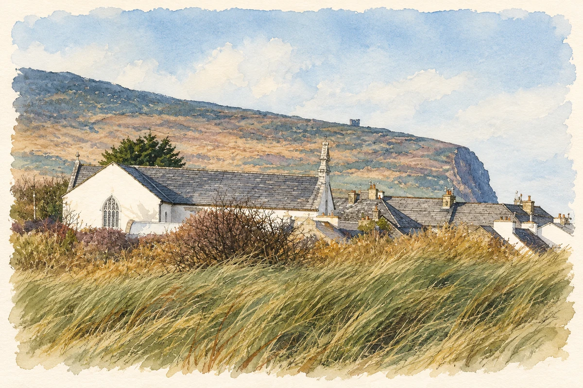
St Mary Church and Brandon Point from Castlegregory illustration: based on a Church-1013464, Dingle Peninsula, Co. Kerry, Ireland by Maoileann. AI-assisted watercolour and ink adaptation; cream paper margins added, incidental clutter omitted and fine details simplified. Licence: CC BY-SA 4.0.
 placenames