Castlemaine grew at a fortified crossing of the River Maine. Its history combines the trade of a small river port with traditions about the lost castle and the international ballad of the Wild Colonial Boy.
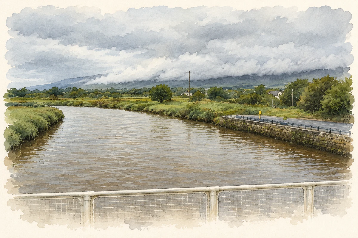
Illustration, River Maine from Castlemaine Bridge
⊕Recorded locationCastlemaine52.17206° N · 9.69999° WInteractive map supplied by OpenStreetMap.
These Irish name elements are associated with this record in the Logainm glossary.
An element’s translation is a clue, rather than a complete explanation of the name. Its form and meaning depend on local history and the full Irish name.
Recorded forms
Caisleán na Mainge· Irish · main form · validated name
Castlemaine· English · main form
Place & story
The castle above the bridge
Castlemaine's lost fortress stood over the river crossing. Writing in 1837, Samuel Lewis recorded surviving supports and a stone socket for the gate's pivot. He also retold a foundation tradition: MacCarthy Mór and the Earl of Desmond were supposed to garrison their shared castle alternately, but the earl refused to hand it back when his term ended. The fortress later passed into English control and was demolished during the Cromwellian wars. The crossing continued to define the settlement after the castle disappeared.[2]
A port delayed by the tides
Castlemaine exported grain and received coal, salt and other supplies. Lewis described ships of a hundred tons reaching the bridge, but needing two tides to negotiate the winding channel. New quays and warehouses at Callanafercy had drawn trade away. Engineer Alexander Nimmo proposed cutting through river bends so that deeper vessels could unload at the town. Embanked land beside the river had already converted former marshes into usable ground. Navigation, reclamation and competition from neighbouring landing places shaped the port's fortunes.[2]
Folklore & tradition
The Wild Colonial Boy in oral tradition
Castlemaine is named in versions of The Wild Colonial Boy, whose outlaw hero is often called Jack Duggan. Folklorist Edgar Waters's 1965 notes for Gary Shearston's recording explain how singers also used the names Dowling and Doolan, and how verses crossed with songs about Jack Donahue. Waters identified Sally Sloane's recorded singing as Shearston's principal source. The Castlemaine of the ballad shifts between Irish and Australian associations as the song travels. Its enduring local connection belongs to song tradition; Waters found no established historical identity for its hero.[3]
Both counts use the 2016 settlement boundary, allowing like-for-like comparison. CSO supplies the 2022 count on this older boundary for comparison only. The official 2022 Built Up Area has different boundaries.
View population figures
Castlemaine — Census 2016 settlement footprint — census population
These figures use different area definitions. Read the boundary note before comparing them.
Castlemaine, Kerry
Published census settlement populations
176people · 2016
Settlement boundaries changed during this period. Differences may reflect boundary changes as well as population change. Where a 2011 legal-town-and-environs count is shown, it has not been recalculated onto the 2016 settlement boundary.
 placenames