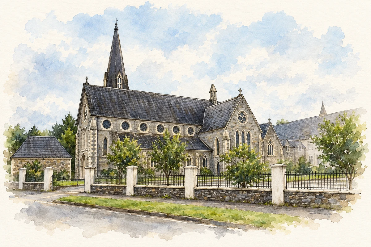
A reliable full-name meaning has not been established here. The recorded Irish and English forms are given without an unsupported translation.
Recorded forms
Neidín· Irish · main form · validated name
Kenmare· English · main form
Place & story
The market house on the square
Kenmare's former market house dates to about 1790. Its classical frontage has three large arched openings at ground level, with a storey above, a clock and carefully worked limestone details. The National Inventory of Architectural Heritage records its original commercial purpose and later conversion to offices. The building's corner position and long return make it part of the town's street pattern as well as a distinctive individual structure. It preserves a physical setting for the buying, selling and public business associated with a market town.[2]
People & connections
Mother O’Hagan and the lace school
The Poor Clare sisters arrived in Kenmare in 1861 to establish a school. After the associated building works ended, employment remained scarce, particularly for women. Under Mother Abbess O'Hagan, the convent developed practical training in lace, embroidery, drawing and design. Kenmare Lace and Design Centre traces the change from fine crochet work to needlepoint lace around 1869. Design teaching and examinations subsequently helped improve the work, while visiting travellers and overseas customers created a market. Original designs survive in the centre's collection, preserving evidence of the makers' skills.[3]
Folklore & tradition
The August fair and the holy well
Kenmare's fair on 15 August combines trading with a date in the religious calendar, the Feast of the Assumption. The town's community history records a connection with visits and traditional rounds at Our Lady's Well in Gortamullen. It also distinguishes an earlier two-day arrangement, with livestock on the fifteenth and other goods on the sixteenth, from the later single-day fair. The claimed eighteenth-century beginnings remain a historical tradition in that account. The continuing gathering brings horses, traders and visitors into streets once used regularly as a marketplace.[4]
Both counts use the 2016 settlement boundary, allowing like-for-like comparison. CSO supplies the 2022 count on this older boundary for comparison only. The official 2022 Built Up Area has different boundaries.
View population figures
Kenmare — Census 2016 settlement footprint — census population
These are the historical areas published in the 2006 census report. Boundaries may differ between censuses and from modern settlements. Legal towns, environs and suburbs are shown separately; none has been combined into a modern settlement total.
View population figures
Kenmare, Kerry — Census town, CSO 2006 report — census population
These are the historical areas published in the 1996 census report. Boundaries may differ between censuses and from modern settlements. Legal towns, environs and suburbs are shown separately; none has been combined into a modern settlement total.
View population figures
Kenmare, Kerry — Census town, CSO 1996 report — census population
Figures cover the historical town area printed in the 1986 report. Boundaries may have changed between censuses. Legal town, environs and suburb totals remain separate and differ from modern settlement boundaries.
View population figures
Kenmare, Kerry — Census town, CSO 1986 report — census population
These figures use different area definitions. Read the boundary note before comparing them.
Kenmare, Kerry
Published census settlement populations
2,376people · 2016
Settlement boundaries changed during this period. Differences may reflect boundary changes as well as population change. Where a 2011 legal-town-and-environs count is shown, it has not been recalculated onto the 2016 settlement boundary.
 placenames