 placenames
Bunaw
Bun Átha
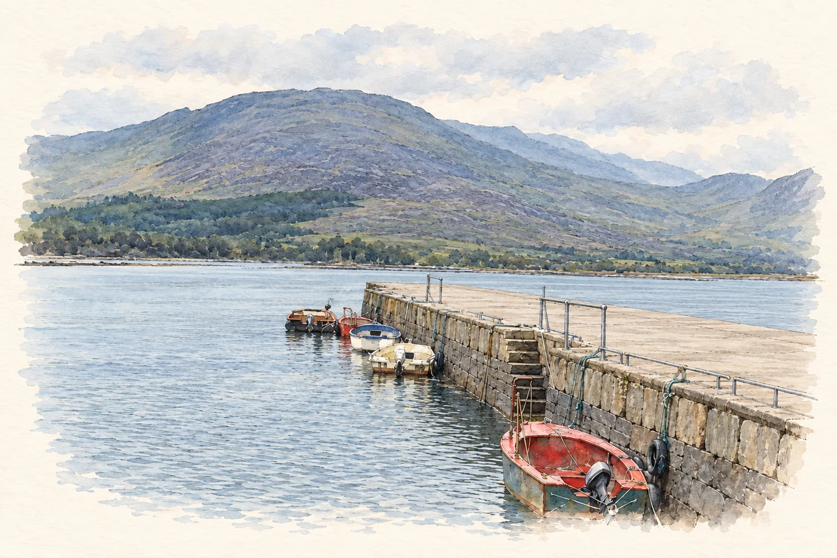
A Kilmakilloge harbour settlement remembered through fishing remains, an O’Sullivan monument and the July pattern.
The name
A reliable full-name meaning has not been established here. The recorded Irish and English forms are given without an unsupported translation.
Recorded forms
- Bun Átha · Irish · main form
- Bunaw · English · main form
Place & story
A vanished fish palace beside the pier
The archaeological record places a former fish palace north of the road at Kilmakilloge Pier. A 1937 account recalled such a building at Bunaw, although it was already disused. The inventory suggests it may have been one of the fish houses shown on Charles Smith’s1756 harbour map. Later local information reported that a house had replaced the ruins, leaving no visible trace of the earlier building. [2]
The harbour and the July pattern
Bunaw’s harbour was a landing place for people attending the Kilmakilloge pattern. Francis Joseph Bigger’s1898 description records boats arriving and stalls, music and dancing near O’Sullivan’s public house. A later family recollection by Bergie O’Sullivan, reproduced by Amanda Clarke, recalls the preparations: shop goods moved aside, additional bars opened and an outbuilding cleared for dancing. The gathering combined religious rounds at the nearby lake and church with a major social occasion. [3]
An O’Sullivan monument at the old church
The ruined Kilmakilloge church stands a little north of Bunaw. Bigger drew attention to a substantial tomb east of the building: a square monument raised on steps, with four carved pillars and stone panels between them. Its inscription commemorates McFinin Duffe, an O’Sullivan who died on 1 September 1809 aged 58. The monument gives a specific family history to the burial ground around the church. [4]
Geographic information
- Place type
- Population centre
- County
- Kerry
- Barony
- Glanarought
- Civil parish
- Tuosist
- Within
- Kilmakilloge
- Coordinates
- 0.00000, 0.00000
- Logainm ID
- 1418005 ↗
Sources & further reading
- Logainm.ie — Bunaw. Place names and geographic record, licensed under CC BY 4.0.
- Archaeological sites appendix, 29 July 2025: KE 108-005, page 21 · BioAtlantis, reproducing National Monuments Service inventory
- Piety, Pleasure and Miraculous Tussocks: Killmackillogue · Amanda Clarke, Holy Wells of Cork and Kerry
- The Last of his Line: Francis Joseph Bigger’s 1898 account · Robert O’Byrne, The Irish Aesthete, quoting Francis Joseph Bigger
- Bunaw Quay, Kilmakilloge Harbour illustration: based on a Bunaw Quay by Trevor Harris. AI-assisted watercolour and ink adaptation; cream paper margins added, incidental clutter omitted and fine details simplified. Licence: CC BY-SA 2.0.
Name record retrieved 2026-10-25 · Source record modified 2022-05-20. How this page was prepared.