A reliable full-name meaning has not been established here. The recorded Irish and English forms are given without an unsupported translation.
Recorded forms
An Fhianait· Irish · main form · validated name
Fenit· English · main form
Place & story
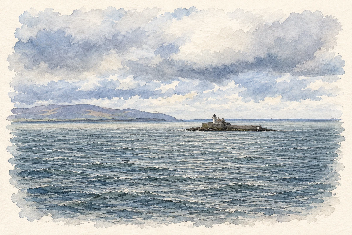
A lighthouse on Little Samphire
Fenit's community history records work beginning on the Little Samphire lighthouse around 1848, with the light operating by 1854. An archaeological assessment of the harbour also gives 1854 as the start of operation. The lighthouse belongs to Little Samphire Island, distinct from Great Samphire, around which the harbour developed. This distinction helps make sense of views across the bay: the offshore light, the harbour structures and the later Saint Brendan monument occupy related but separate locations within Fenit's maritime landscape.[2][3]
The pier and railway reshape the village
Proposals for a pier were discussed in 1846 to improve conditions for local fishing and trade. Later construction connected Samphire Island with the mainland by a causeway and viaduct, while the pier projected separately into the bay. The railway opened in 1887, strengthening links with Tralee and helping move fish and other goods. Harbour development also brought housing for employees at Samphire Terrace. These works explain much of the growth of the modern village, whose earlier maps showed a much smaller concentration of buildings.[2]
Folklore & tradition
Remembering the Navigator
A local project begun in 2000 led to the Saint Brendan statue at the harbour and the associated heritage park. Fenit is traditionally linked with the Navigator's birth, and medieval accounts of his Atlantic adventures circulated widely in European monasteries. The community's own interpretation distinguishes those embellished lives from verified voyages and states that a journey to America has not been proved. The monument celebrates that powerful seafaring tradition; it does not establish a documented transatlantic landfall by the historical saint.[4]
Both counts use the 2016 settlement boundary, allowing like-for-like comparison. CSO supplies the 2022 count on this older boundary for comparison only. The official 2022 Built Up Area has different boundaries.
View population figures
Fenit — Census 2016 settlement footprint — census population
These are the historical areas published in the 2006 census report. Boundaries may differ between censuses and from modern settlements. Legal towns, environs and suburbs are shown separately; none has been combined into a modern settlement total.
View population figures
Fenit, Kerry — Census town, CSO 2006 report — census population
These are the historical areas published in the 1996 census report. Boundaries may differ between censuses and from modern settlements. Legal towns, environs and suburbs are shown separately; none has been combined into a modern settlement total.
View population figures
Fenit, Kerry — Census town, CSO 1996 report — census population
Figures cover the historical town area printed in the 1986 report. Boundaries may have changed between censuses. Legal town, environs and suburb totals remain separate and differ from modern settlement boundaries.
View population figures
Fenit, Kerry — Census town, CSO 1986 report — census population
These figures use different area definitions. Read the boundary note before comparing them.
Fenit, Kerry
Published census settlement populations
538people · 2016
Settlement boundaries changed during this period. Differences may reflect boundary changes as well as population change. Where a 2011 legal-town-and-environs count is shown, it has not been recalculated onto the 2016 settlement boundary.
Little Samphire Island lighthouse off Fenit illustration: based on a Fenit Lighthouse by Jonathan Thacker. AI-assisted watercolour and ink adaptation; cream paper margins added, incidental clutter omitted and fine details simplified. Licence: CC BY-SA 2.0.
 placenames